09/01/25 Monday, Labor Day
Parking: just after the last house and not too far after the national forest sign is a parking area to the left of the road.
It’s large enough for a trailer to turn around in.
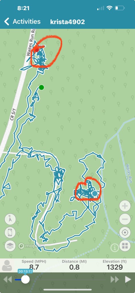

I started off going down the trail from the back right of the parking area. There are National Forest sign posts along the trail but no signs are attached. There is also an old small bridge that you almost can’t see as you cross over it on the trail. It’s mostly flat into the ground where run off must have trickled.
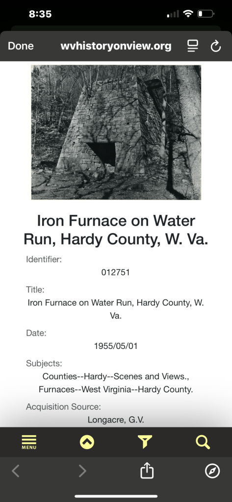
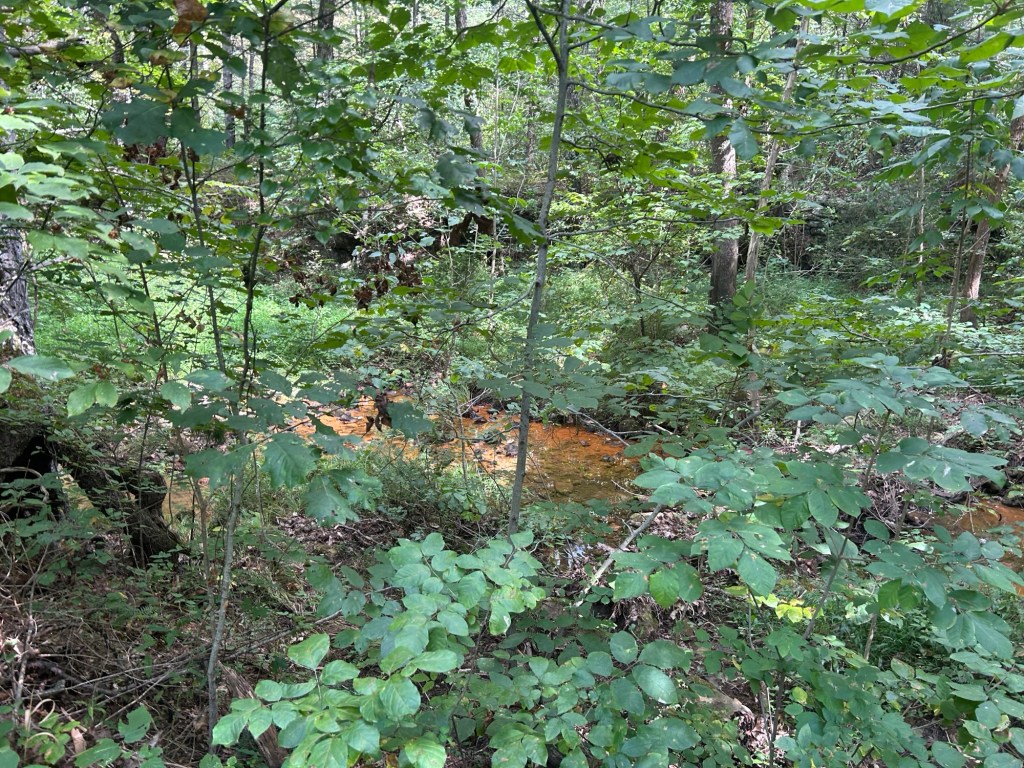
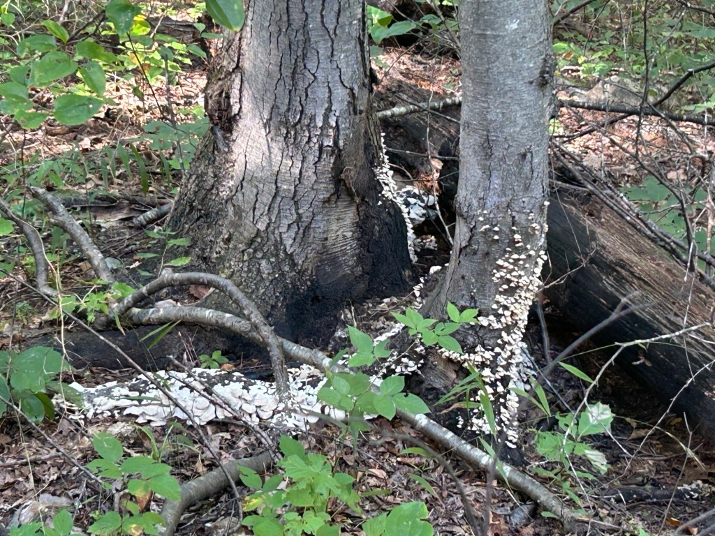
I rode down the trail which is not very long, maybe 0.7miles to the bottom. At the bottom is the furnace. you can see the old water canal to Waites Run. And in Waites Run you can see a few really orange water pooled. I assume??? From metals in the water.
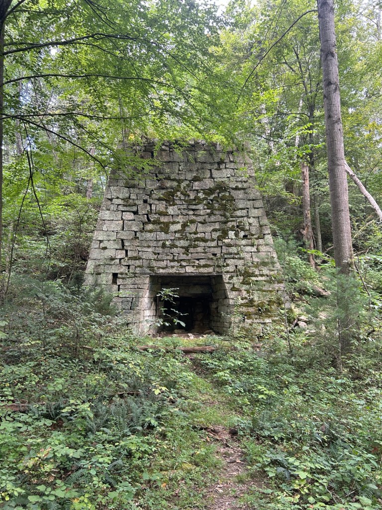

You do see the back and top of the furnace from above while traveling down the trail. This portion is at the end of the video when I rode back up the trail.

The trail also continues past the furnace but it crossed the creek and went steeply up the hill and did not make clear if it continues beyond that.
Again, there are sign posts with no signs at the furnace.
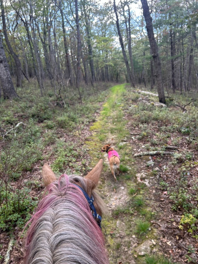
After checking out the furnace, I headed up to some camp spots and then out to Waites run road. It is gravel at this point. I turned right and went about half way back to where I parked and got onto a marked trail to the left (it would have been on the right when driving in). The trail is simply marked with a hiker image and arrow.
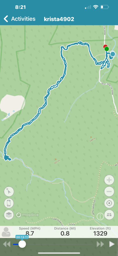
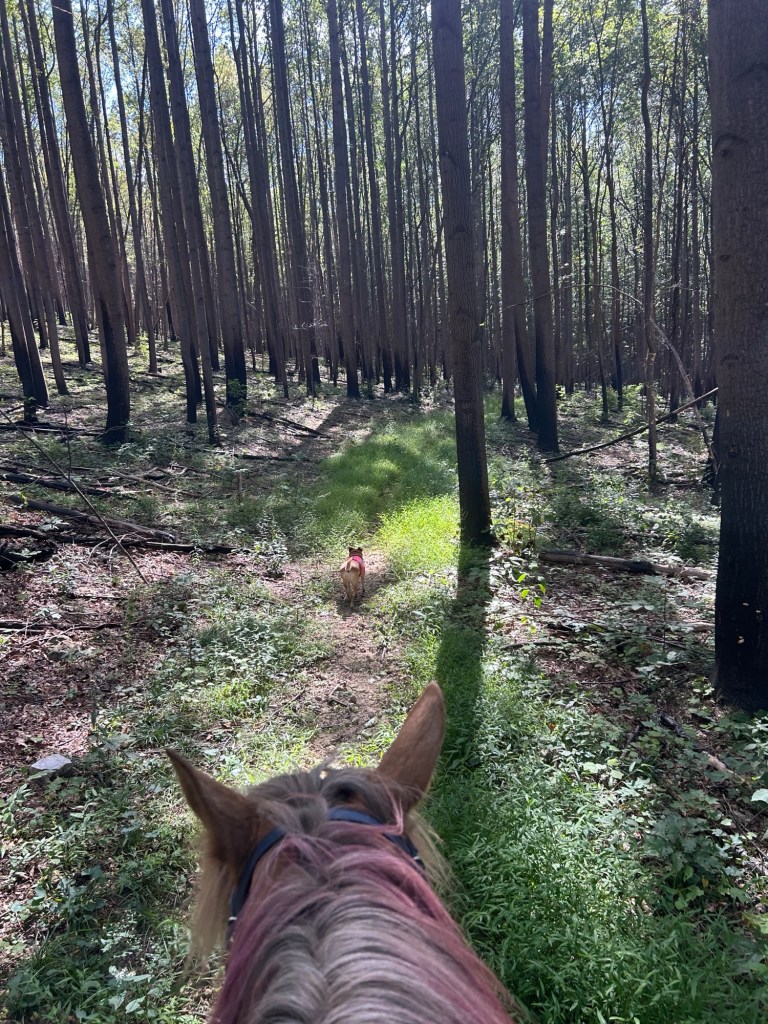
The first 1/2- 1 mile or so appeared to be recently weed wacked. (Eaten, eated?) and then it became very over grown for a bit. Still clear where to go but summer growth was strong. I also saw pretty fresh horse poo and tracks.
The trail went up hill for a short bit. There was a tree down on the trail. I sawed through the top branch with my hand saw. But then I was unable to move that section enough to get Simon over the bottom branch. And I was out of energy to saw another branch. This made me question how the other horse got through (why did it take me this long to think about that) and then I noticed a pushed down brush area a bit behind Simon. Obvi I took that route. The over growth on either side was pretty dense.

Pretty quickly the trail widened and became grassy with brunt forest on either side. Then rolled into more natural forest.


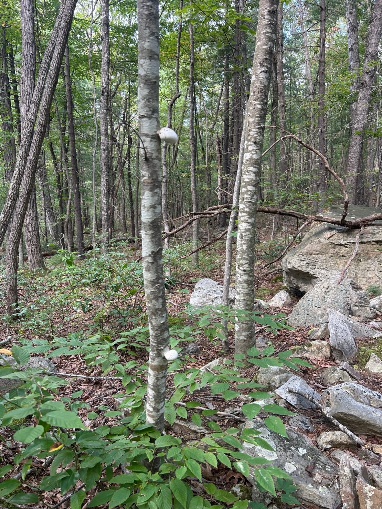
There was a large rock mass on the left of the trail. I explored it briefly on foot. I would like to explore it more.
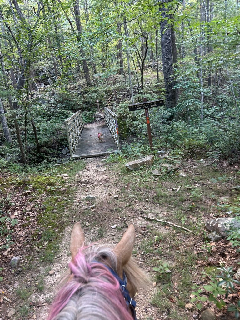
Just at the end of the rock outcropping was a creek, and a bridge. The same bridge Carol Ann and I passed a few weeks ago when riding the loop out from Bucktail parking off Trout Run Road.

We marched over the bridge and went just a little way then turned around to head home.
Perfect weather, although lots of gnats going up my nose and in my eyes.
