
January 21, 2015

One day was not enough, so I got up early and headed back out on Sunday. I decided to make this day into an exploring day.

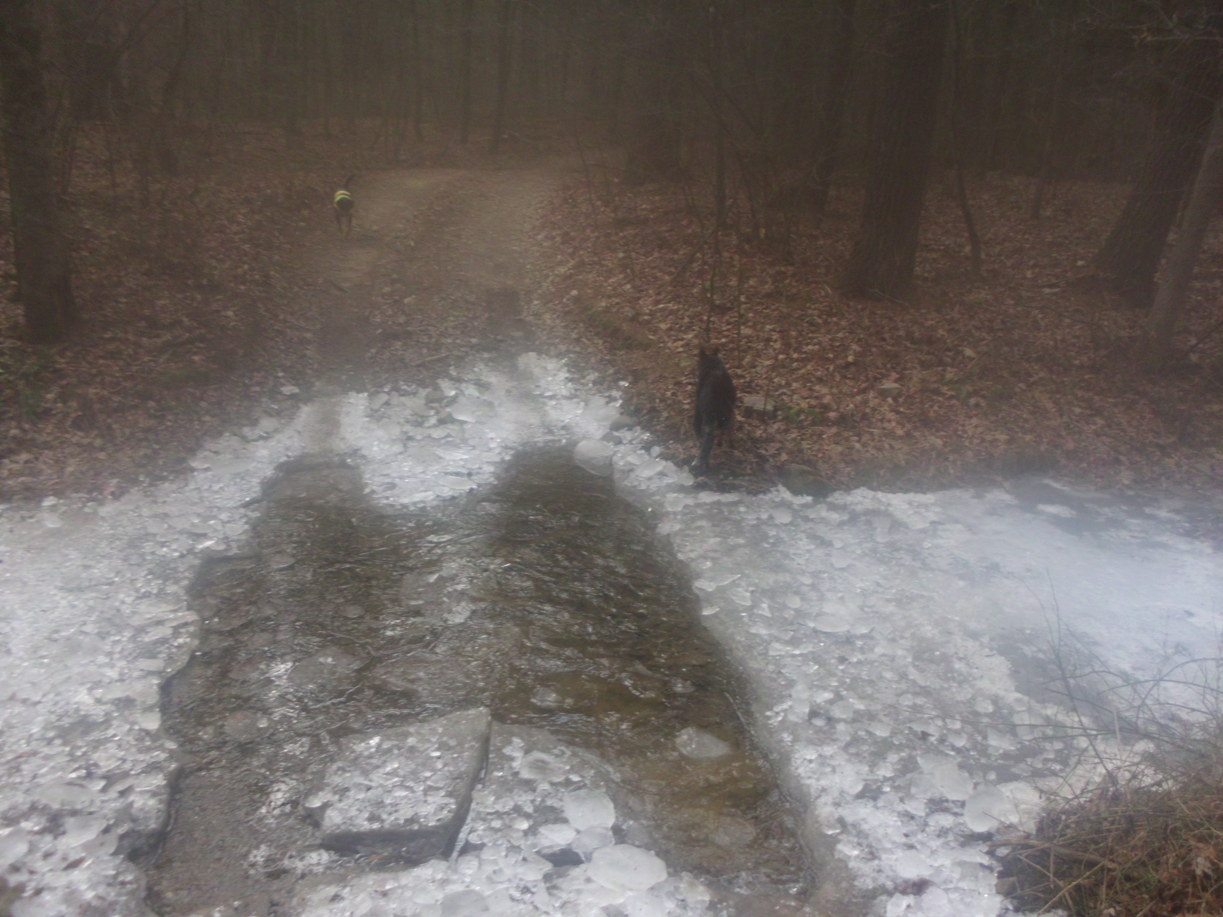
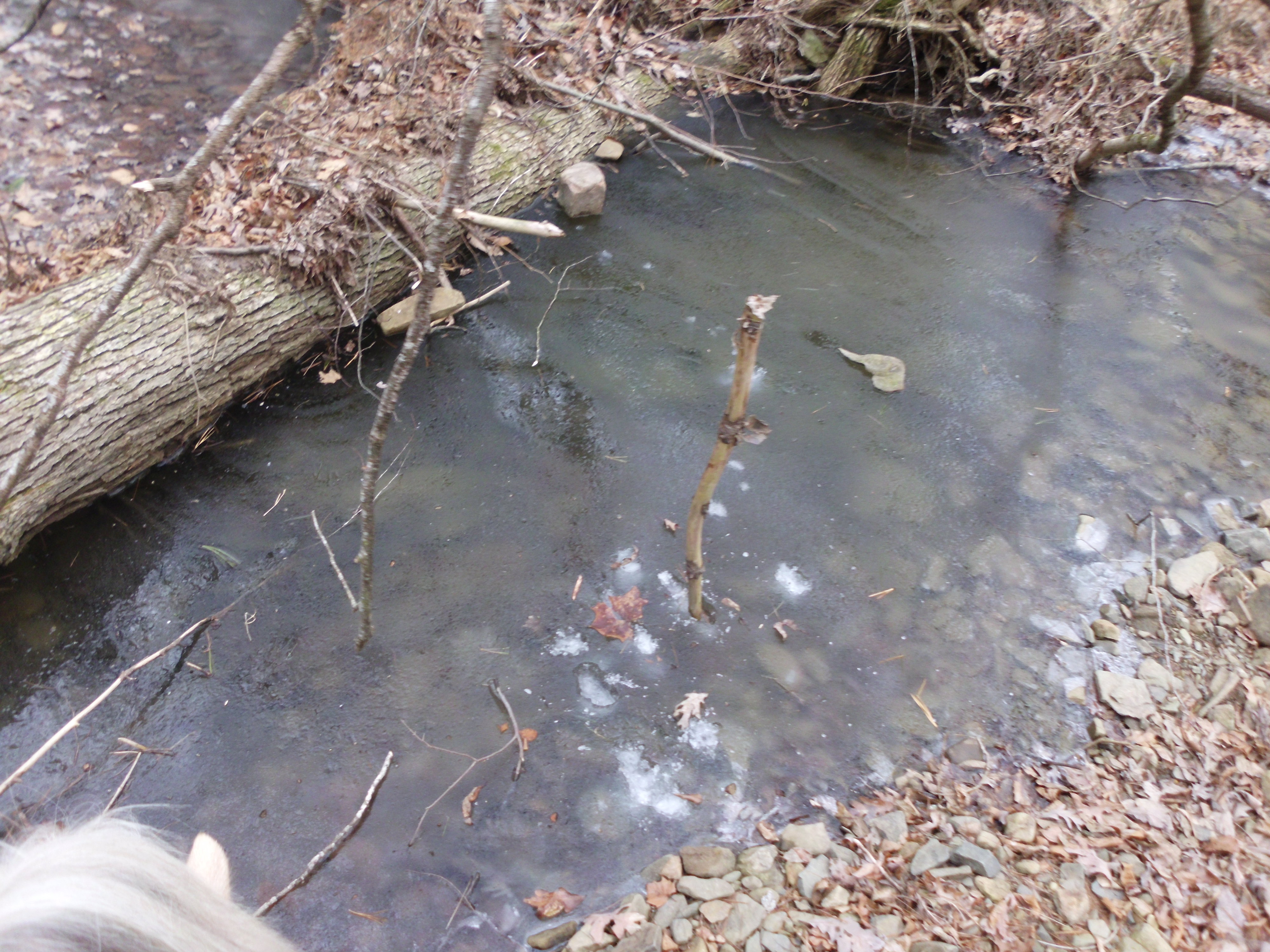
I started out on the first left hand turn that is right at the entrance to National Forest. It is marked 423B Turner Run and wraps down, crossing some creeks. It is also well marked on the map, although the very clear road disappears completely when it is marked as continuing twice in different directions.


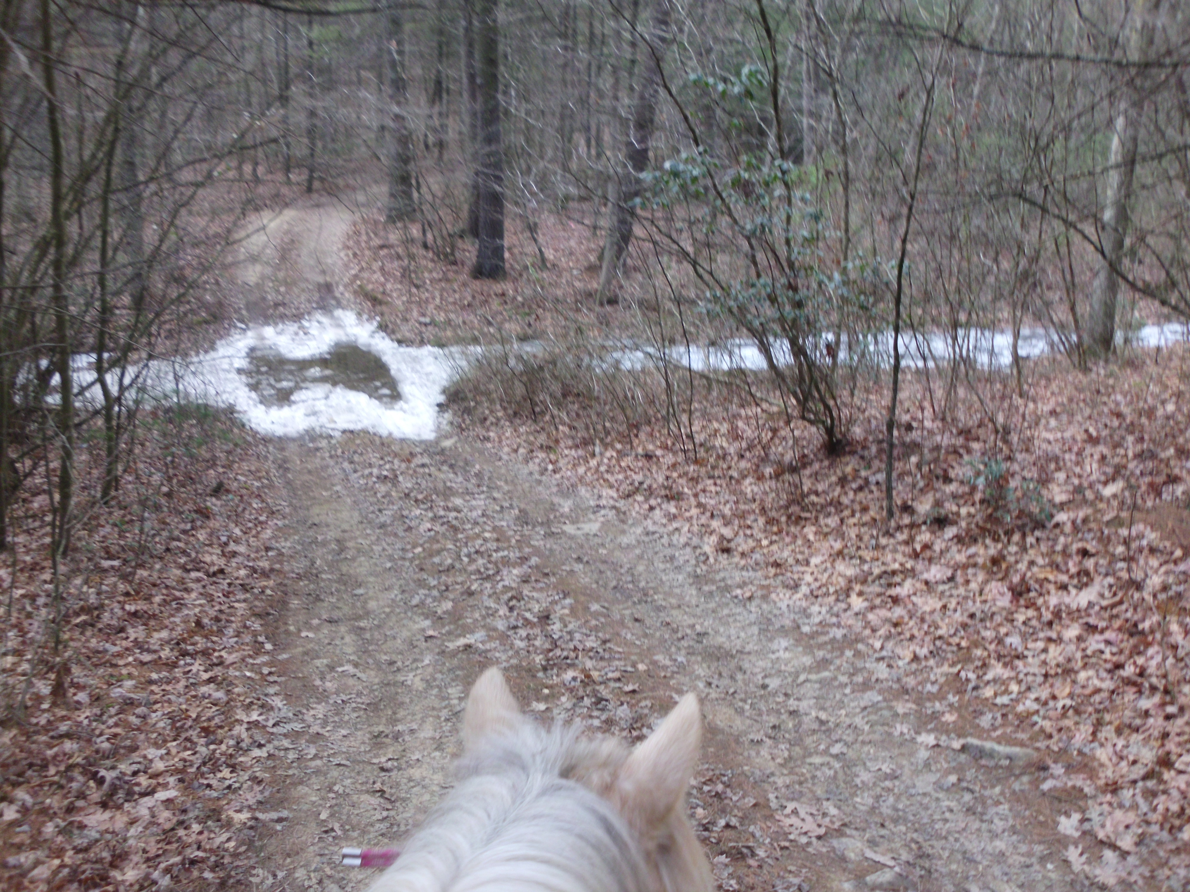

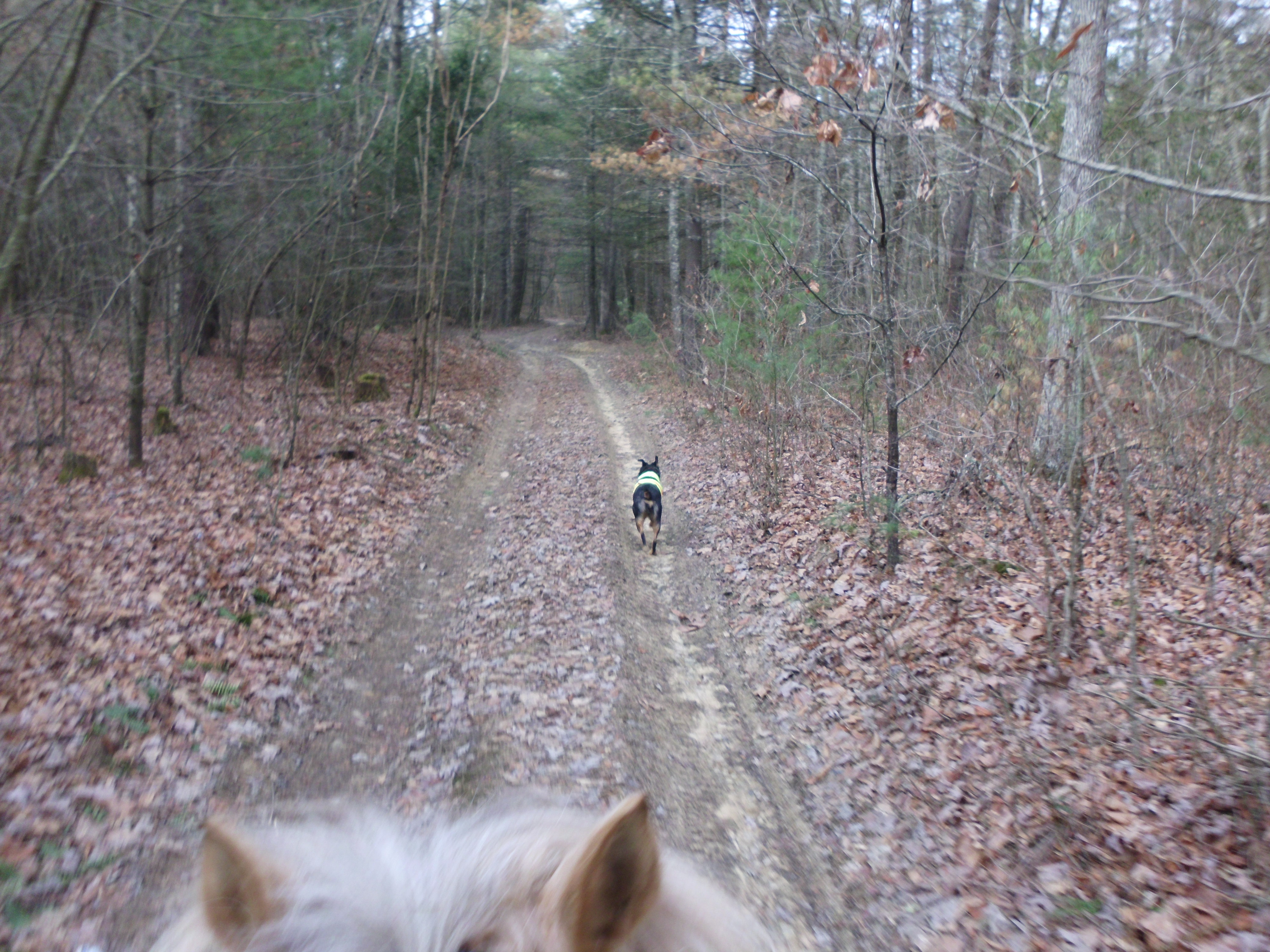
I spent a good hour down in this area exploring and then headed back up the road to an unmarked side trail midway between the perimeter of National Forest and the closed gate. This fun trail eventually wrapped back down to the bottom of 423B.
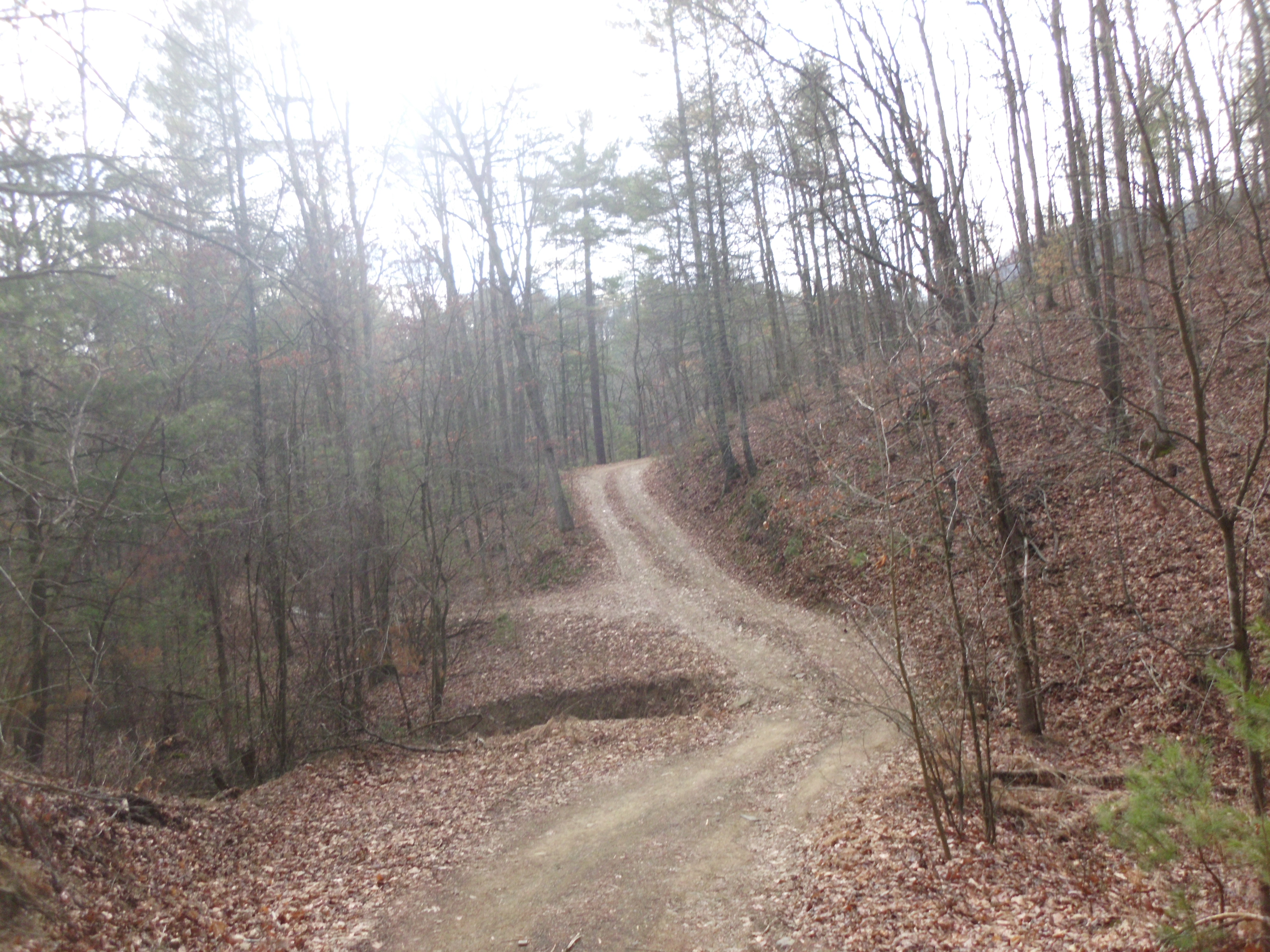
Next I tried an unmarked trail that popped out behind a parking area. it wound around, and had several side trails that lead off of it. One ended at the edge of National Forest, at well maintained private trail. I turned around and hopped onto the next trail branch. It followed what I figure is an old overgrown logging road. It eventually climbed up quite a ways. At the top it became too leafy to follow, so I called it and headed back down.


I managed to explore all of the area before the closed fire gate and now I am ready to head into a new area to explore!
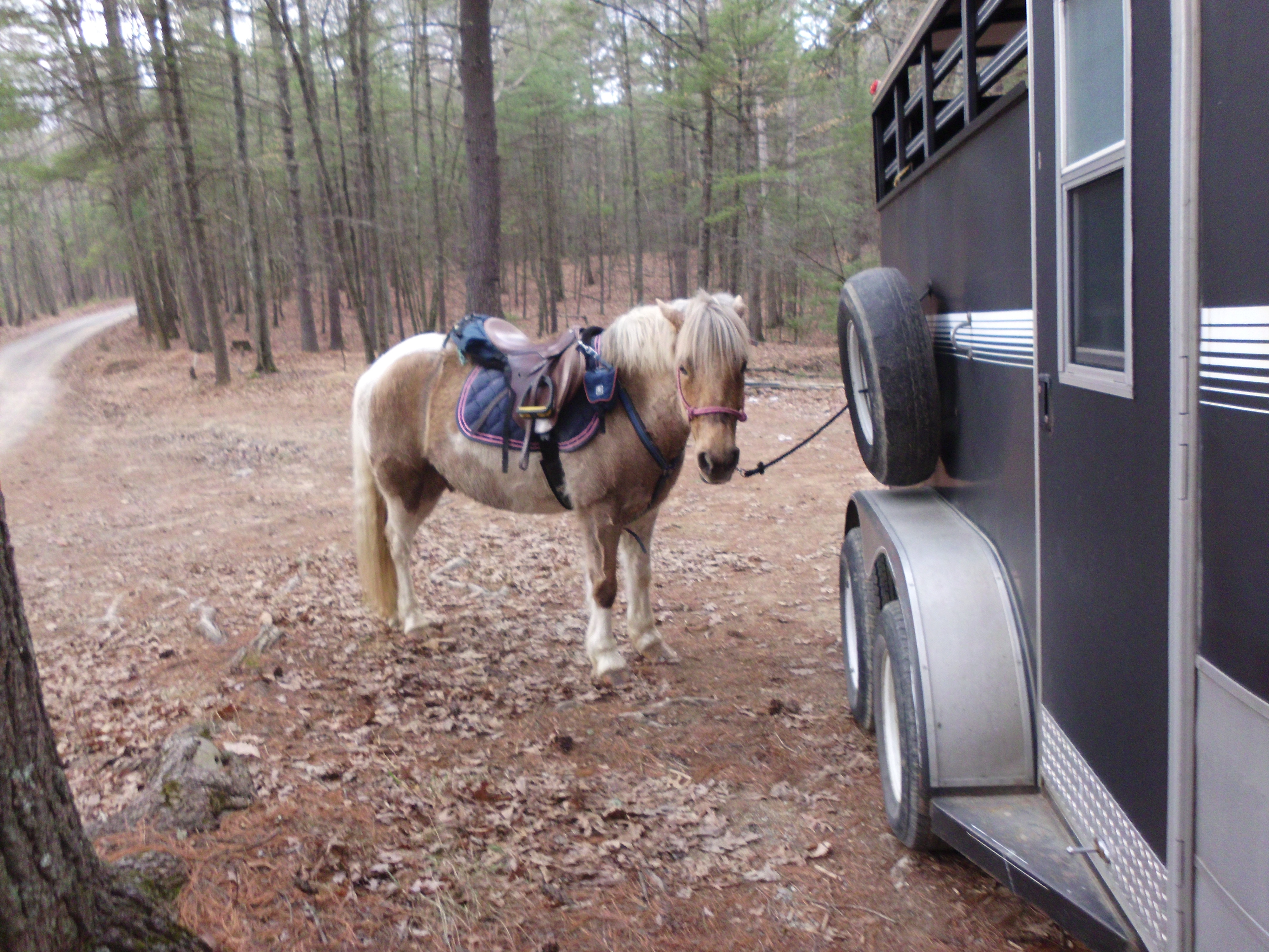
Simon says “give me cookies now!”

