
February 24, 2018
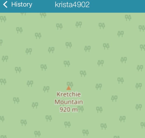
Note: in some places I find the mountain Krechie and some Krichie. I or E?
Parking: I show the parking in the video part one. There is a small loop to park on but it’s small with a big pothole and a bit of an incline on one end. But would work well for backing and turning.
I back off of the main road – 240, and park on the side of the side road. A larger rig could certainly do this. I have also parked on the side of the main road just before this side road and there are more places to park and turn around just a bit further along.
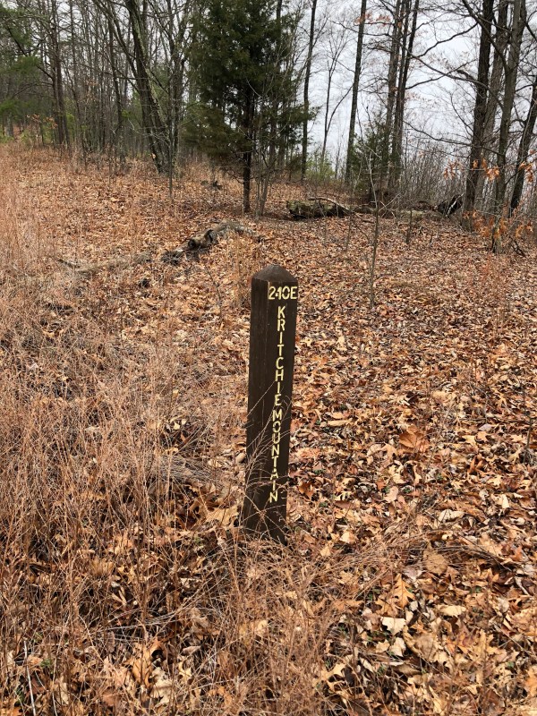
Access: This trailhead is at the end of Little Dry River Road. It eventually turns to gravel, and you go a bit further, past a house on the right, and it’s the turn on the left. There is a simple metal sign that says “210” by the entrance. Just after it is a red metal gate, which I think is to a gun club or a hunting club or some such private land.
Turn left, I believe it is technically Vepco Rd (it’s labeled this on the Map My Tracks app). It’s has a nice creek ford, concrete, not too deep, and heads on up, through an open fire road gate and continue up. I include some of this on the part 1 video. The trail head I road from in this post is the first side road on the right, it’s well marked, gravel like the main road, and has the “240E Krechie Mountain” forest service brown wooden sign.


It’s been a few years since I have been to this trail head. I did not go out and check it out in advance to make sure it was still passable and gates were still open in advance like I should have. I rolled some dice and it went ok.

I am turning these written blogs into more of a video blog experience lately. So if you really intend on checking out this trail I recommend you review the videos. This ride has a three videos. I hope they are helpful.
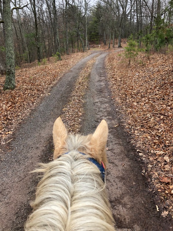
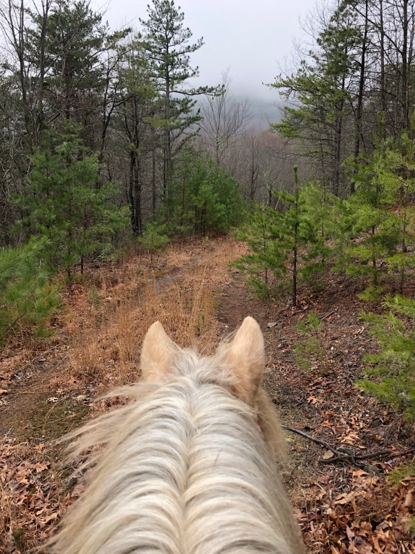
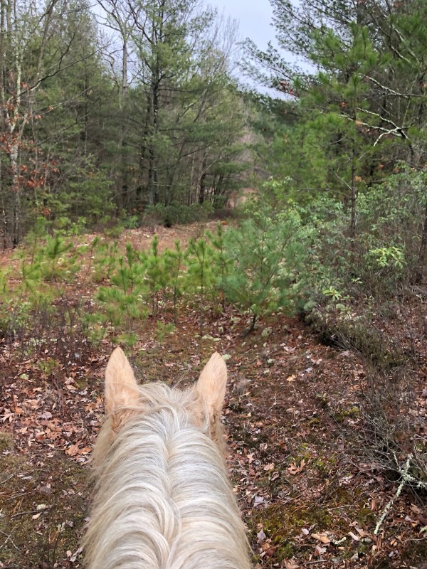
I recommend the main bit of this ride if you want a short easy ride with some nice views and easy footing. For this area the footing was actually really nice. Thinking back I would even take my more tender footed, barefoot pony back on this ride as a light conditioning ride. (And now I am thinking). The main part of the ride is about 4.3 miles in and back out. It’s wide, clear and well marked fire road the whole way.
From parking, go through the closed gate and on back along the fire road, it splits a little ways on. There was a tree down for the right hand/straight ahead fork. I seem to remember from years ago, this meandered along a ways, got super over grown and I gave up. I have a fuzzy memory that I later noted on a map that if I had just gone a tiny bit farther it would have popped out on a fire road or something. But my memory of it is not so good.
On this ride we took the left fork, which was clear, and headed down.

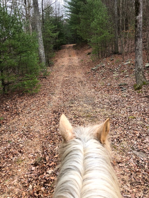
the trail rolls along, some coverts over creeks, rolling up and down but nothing harsh.


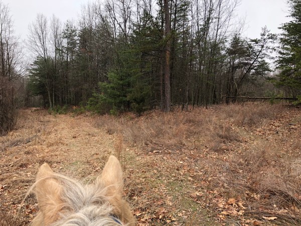
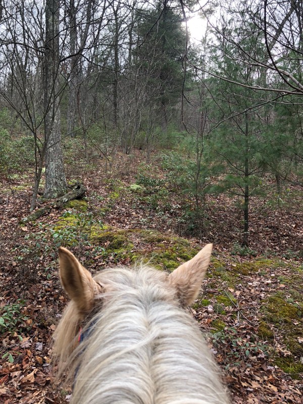
after awhile there is another split. Go right, up. It’s not too terribly long, and it’s a bit rockier compared to the rest of the ride. It eventually trickles down to a foot trail, which appears to have kept going but I decided to call it. It’s a decent trail till my turn around point. This is covered in the videos pretty clearly.
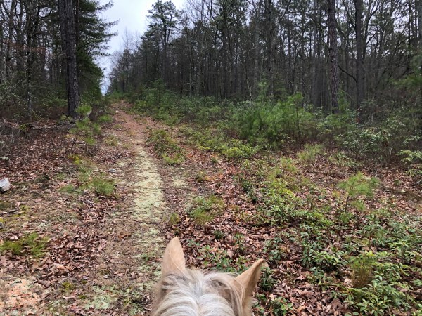


I also went back to the split and took the left hand one. It was a bit thick at first and then cleared. I will note here that there were a lot of tiny thorn trees. So ones you couldn’t easily snap back branches on and might not want hitting you with bare arms.
This split was short lived and ended at a circle. There were two branches off. The one to the right at the start of the circle was super short. The one directly across the circle appeared to probably have been nice at one time but was too over grown so I called it.

That is the main part of this ride.
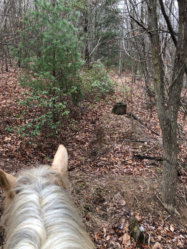
On my way back I decided to check out a side trail. On the way back it was on my left, going up hill, just about at a right hand curve in the fire road.
It initially went up, bubbles left and then short off to the right. It had a few branches off of it but I stuck to the most dominant trail. It started up pretty steep after a bit and I noted the trees were marked blue blaze. It was a solid trail and only slightly over grown, but still very passable. I looked at map my tracks app and it appeared the path was about to run into another trail or just had connected. But when I got home and looked I did not see this. I was a bit short on time so I cut my exploring at this time and headed back out. But I would like to go back out and see where it goes.
I also saw a lot of freshly scratched up trees and what I think might have been bear scat. I am not any type of scar professional, so I could be totally wrong, and I realize it’s winter, but with it being extremely warm, 60-80s recently I believe I have read bears might get up for a snack. Again, no professional, so I am not so sure. But it was fresh poo and scratching.


Something else of note – there were fresh tree tubes in one area. Tons of them. I assume they have trees in them. I came galloping around a corner and it was just covered in them. Sort of spooky.

So back to the parking area. You can see in the photo above, there is a trail just to the right and above the fire road. I remember it from before but not much more than it was there. I rode up it just a tiny bit to see if it was still there and it is. I’ll have to check it out in the future. Again.
Check out the three videos for a v-log of the ride.
Video part 1 of 3
Video part 2 of 3
Video part 3 of 3
