Trail Report – 2/14/15 – Turner Run 423

February 20, 2015

IMG_4552

My phone (and tracker) cut off at the turn around point.  (straight line did not happen) total ride was about 12 miles in a little over 2 hours.

IMG_4571

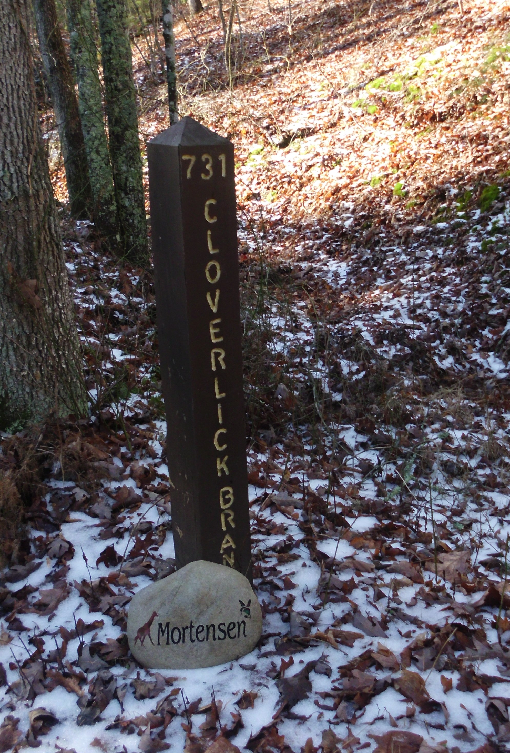
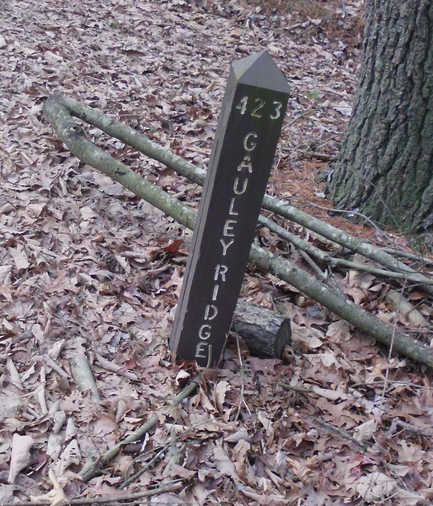
Last Saturday I hit up Turner Run. We were expecting snow in the afternoon and the road into Turner Run is not one I would want to drive on if there was any snow so I figured it was a good time to hit that location.

IMG_4542

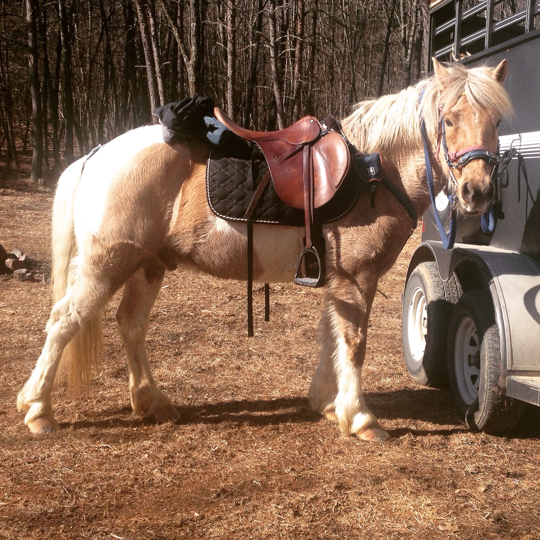
Tacked up and ready to load up and head on out.

 IMG_4543

Ash was particularly excited to get his trail ride on!

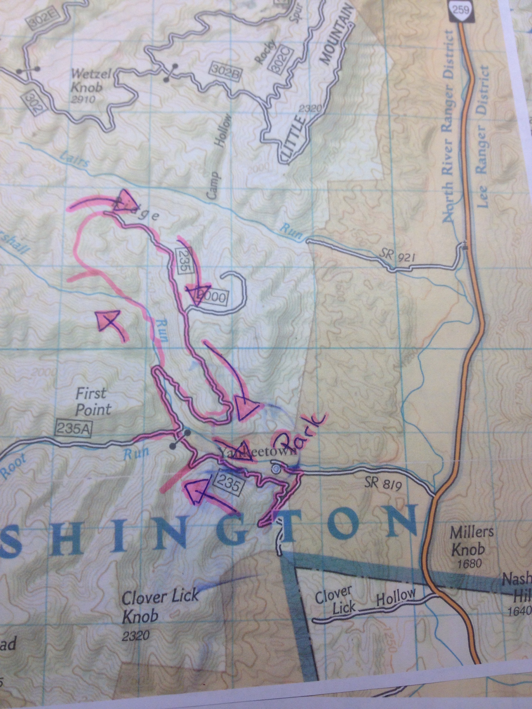
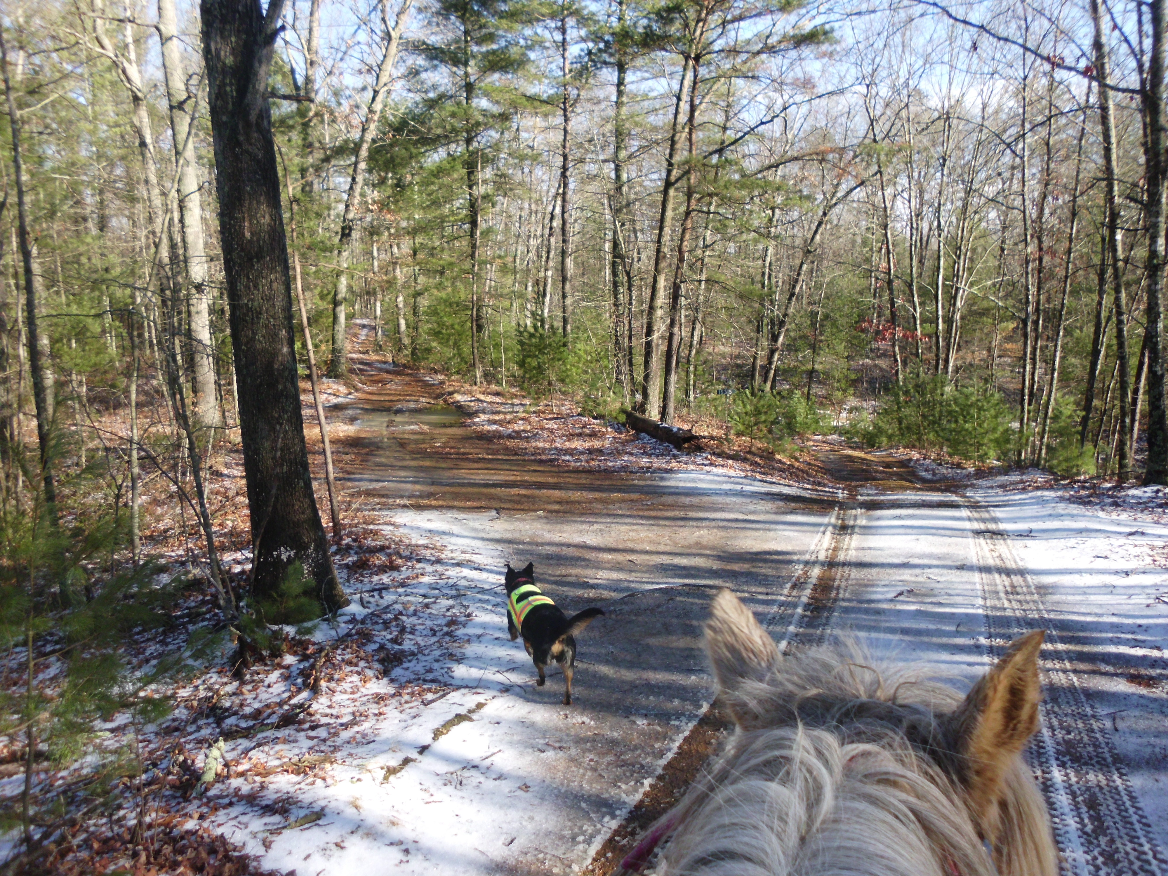
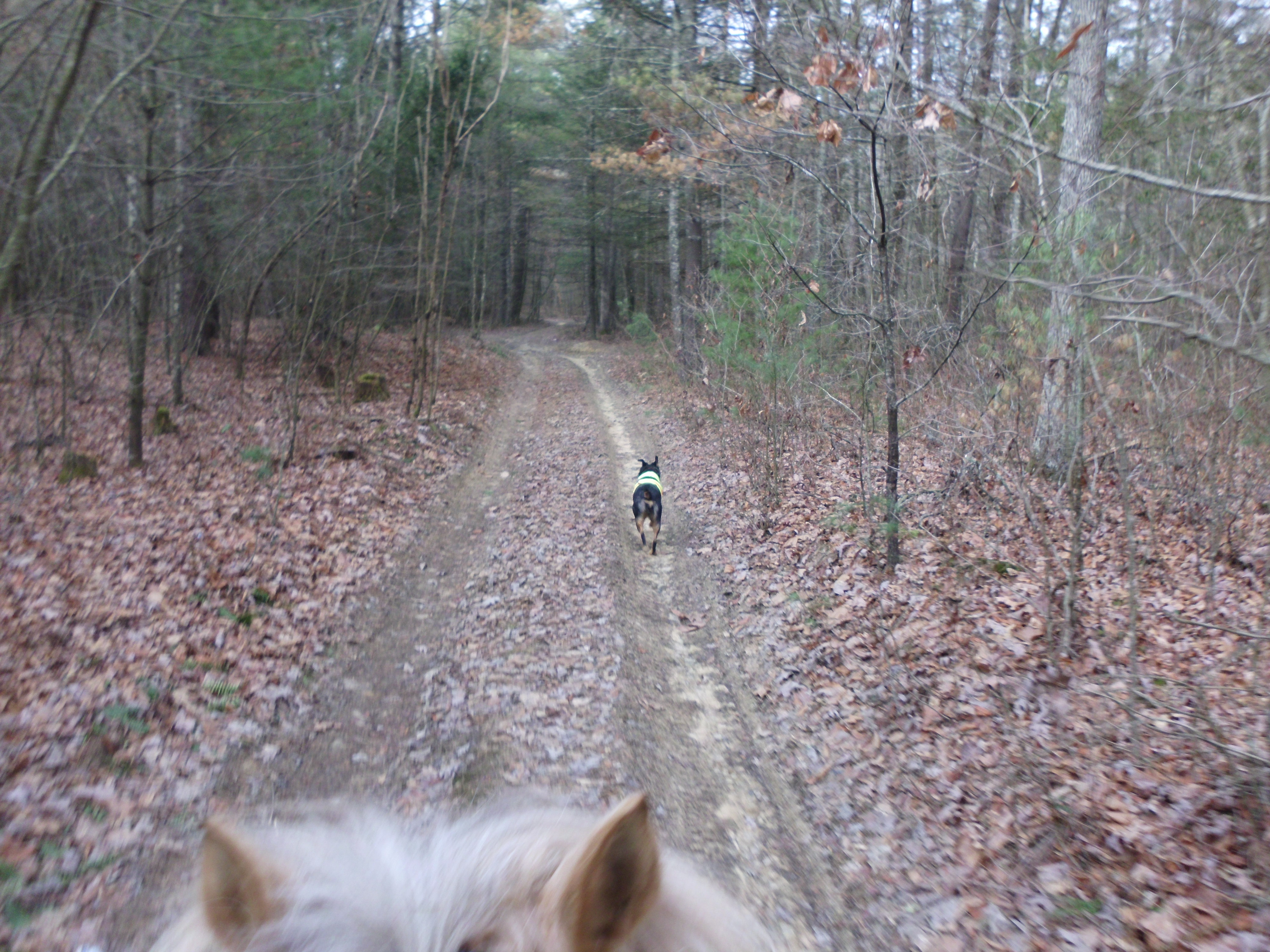
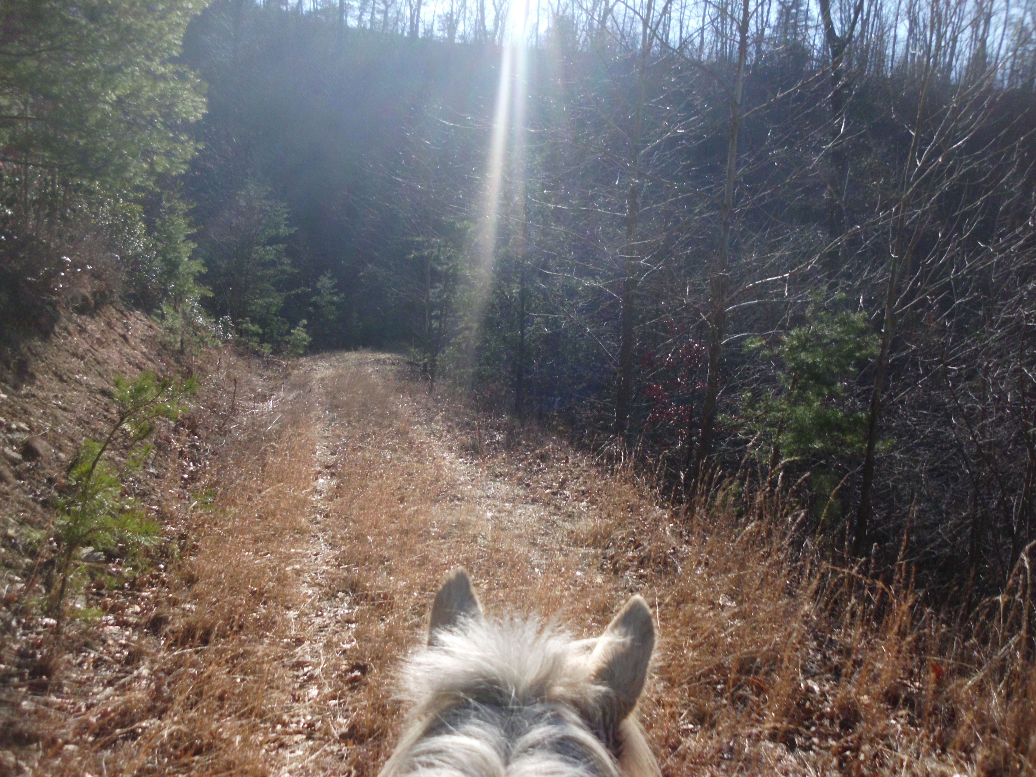
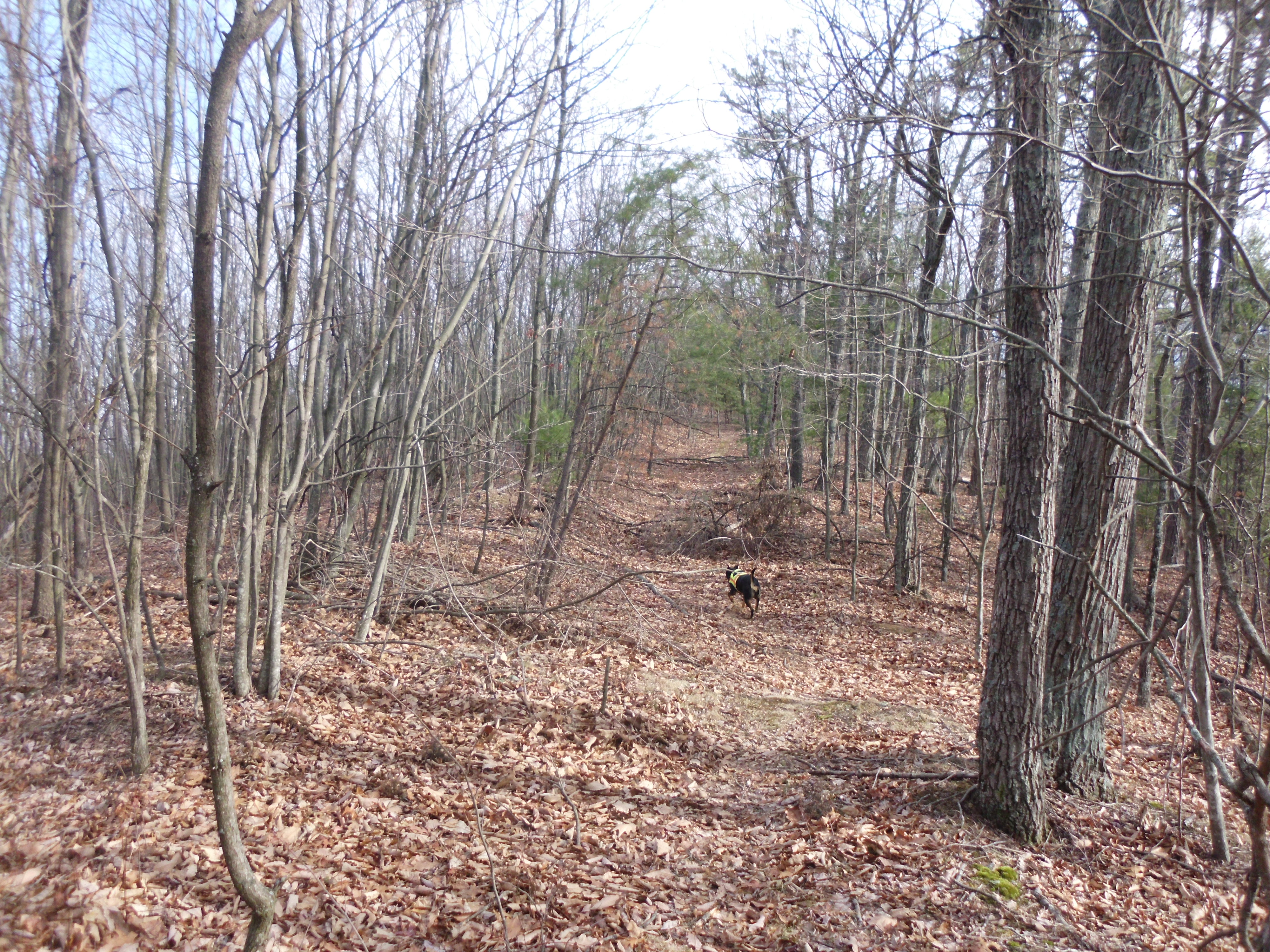
I parked at the top, and trotted on in the fire road, past the closed gate.  I checked out one of the turns to the left, and a few side trails, but only briefly.  The one on the left, which is marked on the map as a fire road shows it winding much further than it actually goes.  the road ends and there is an unkempt trail that continued on along the path marked on the map.  I saw some horse poo, but it was a bit of a pain to ride since it was so over grown, so I quickly turned around.

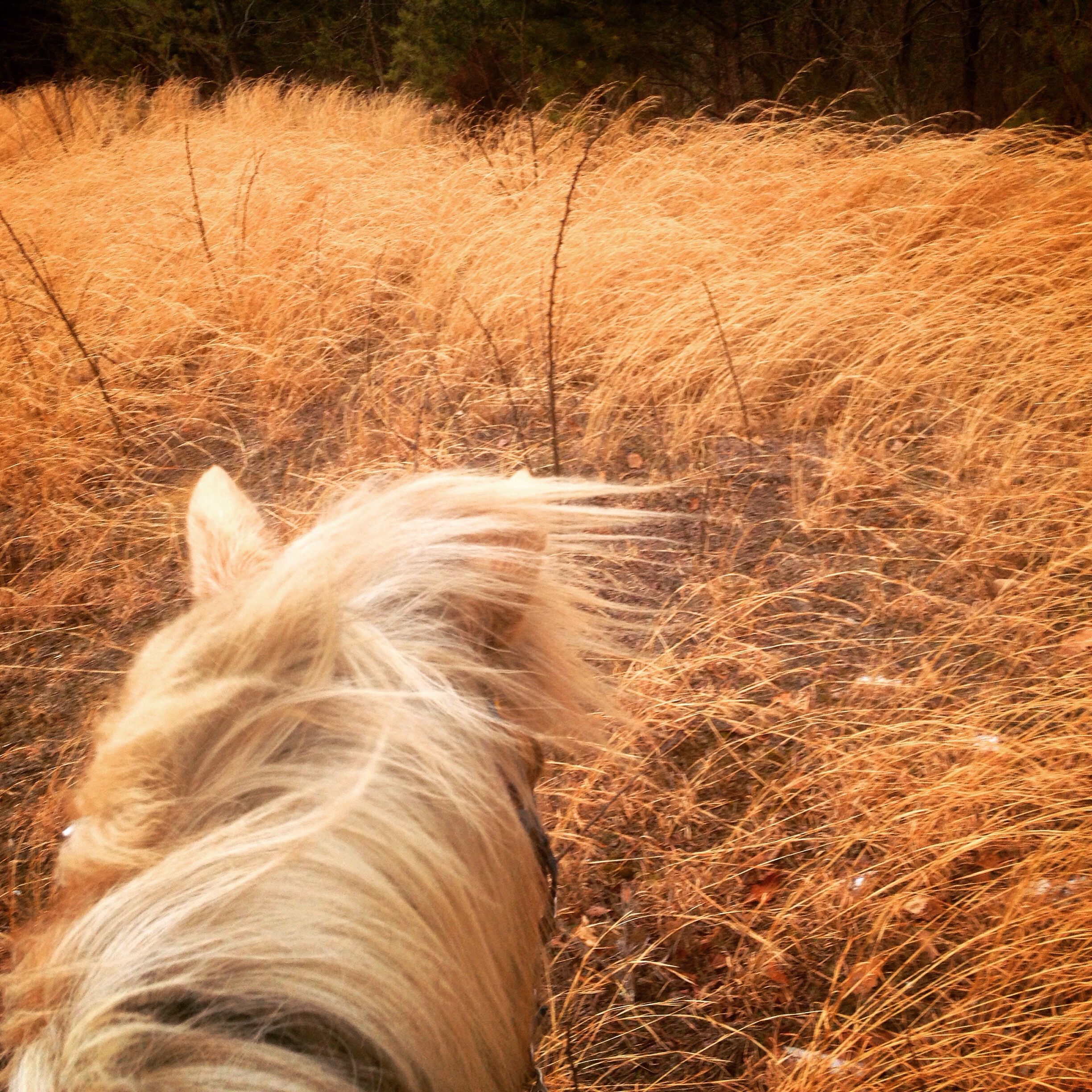
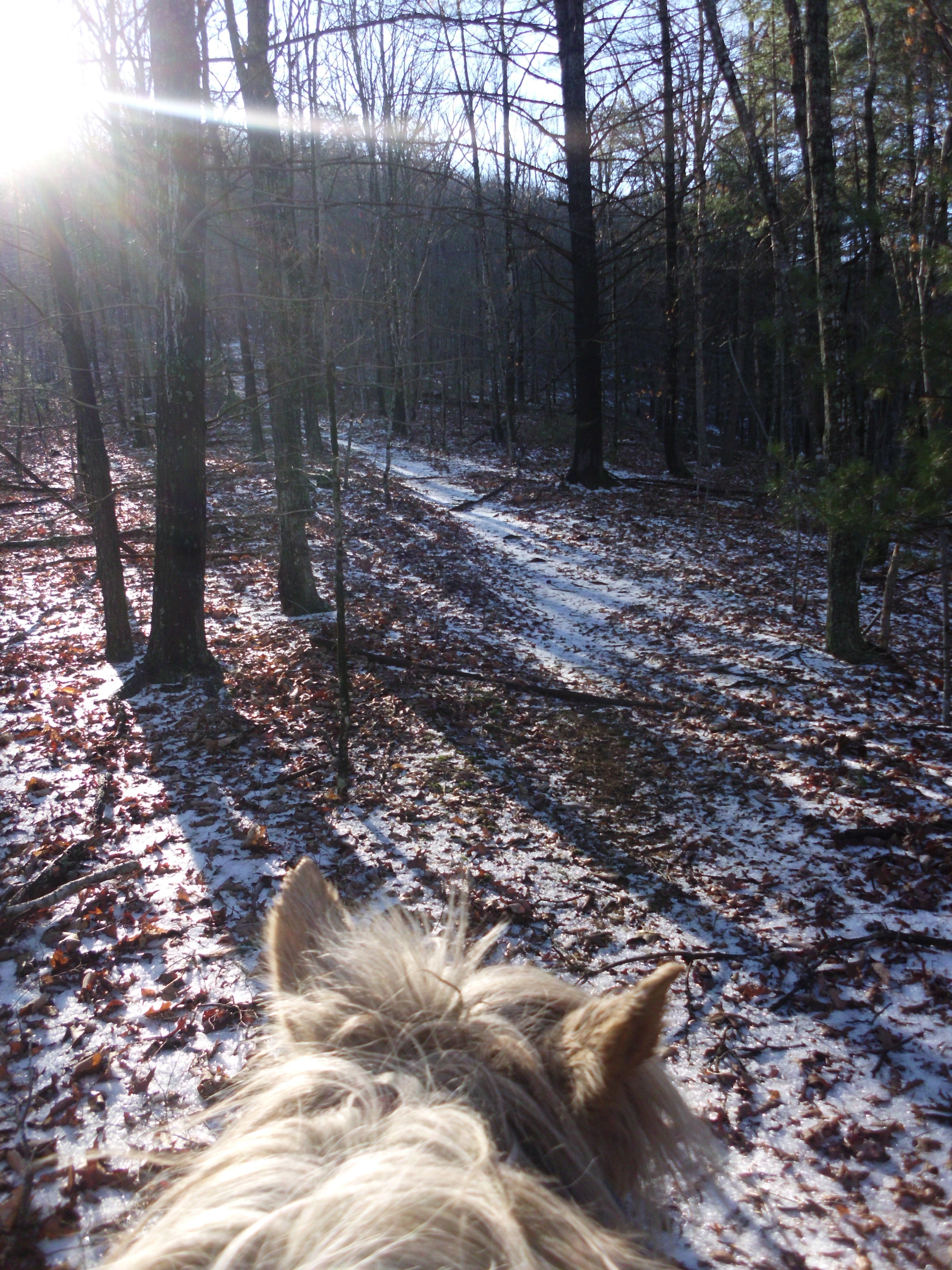
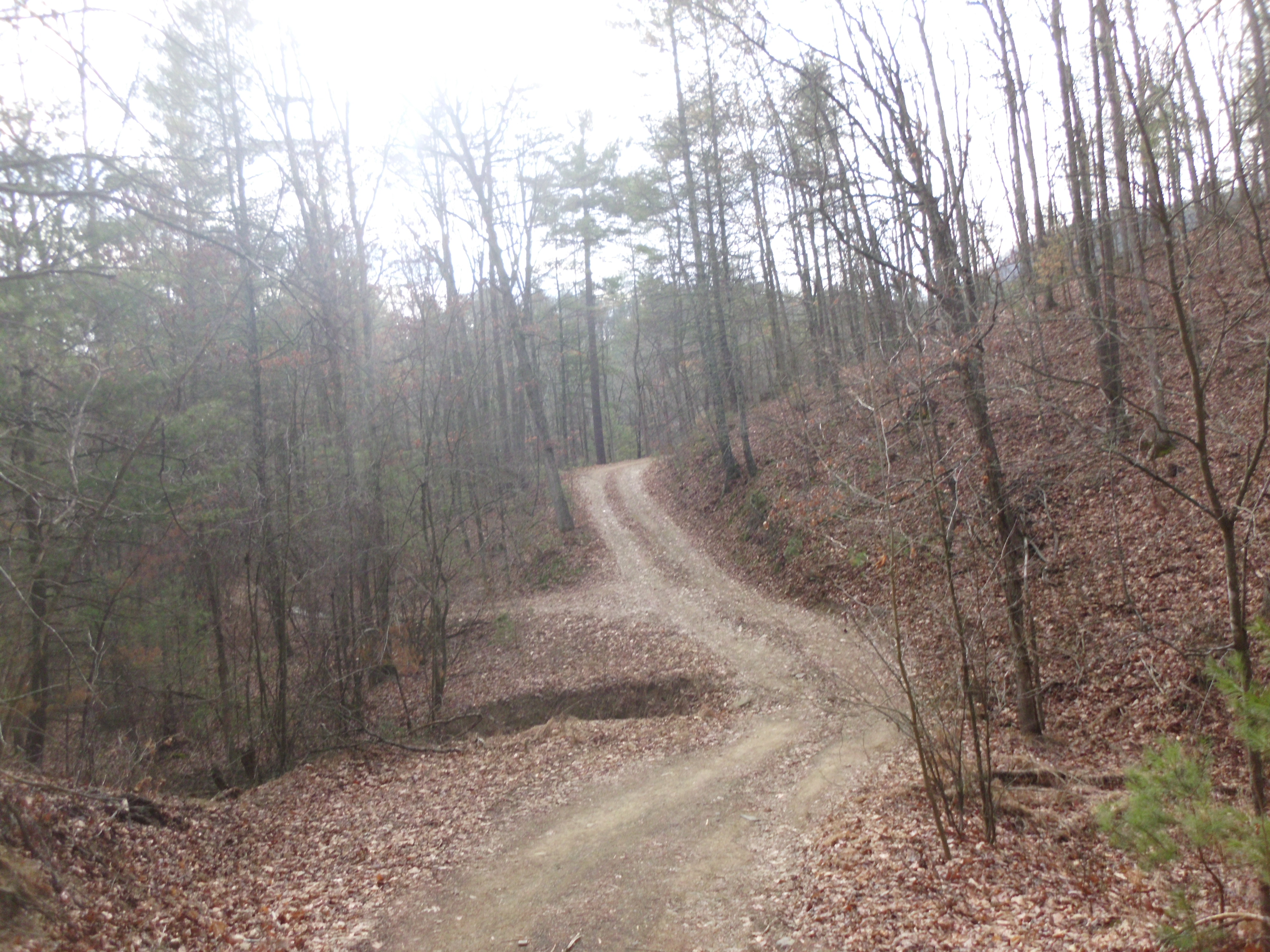
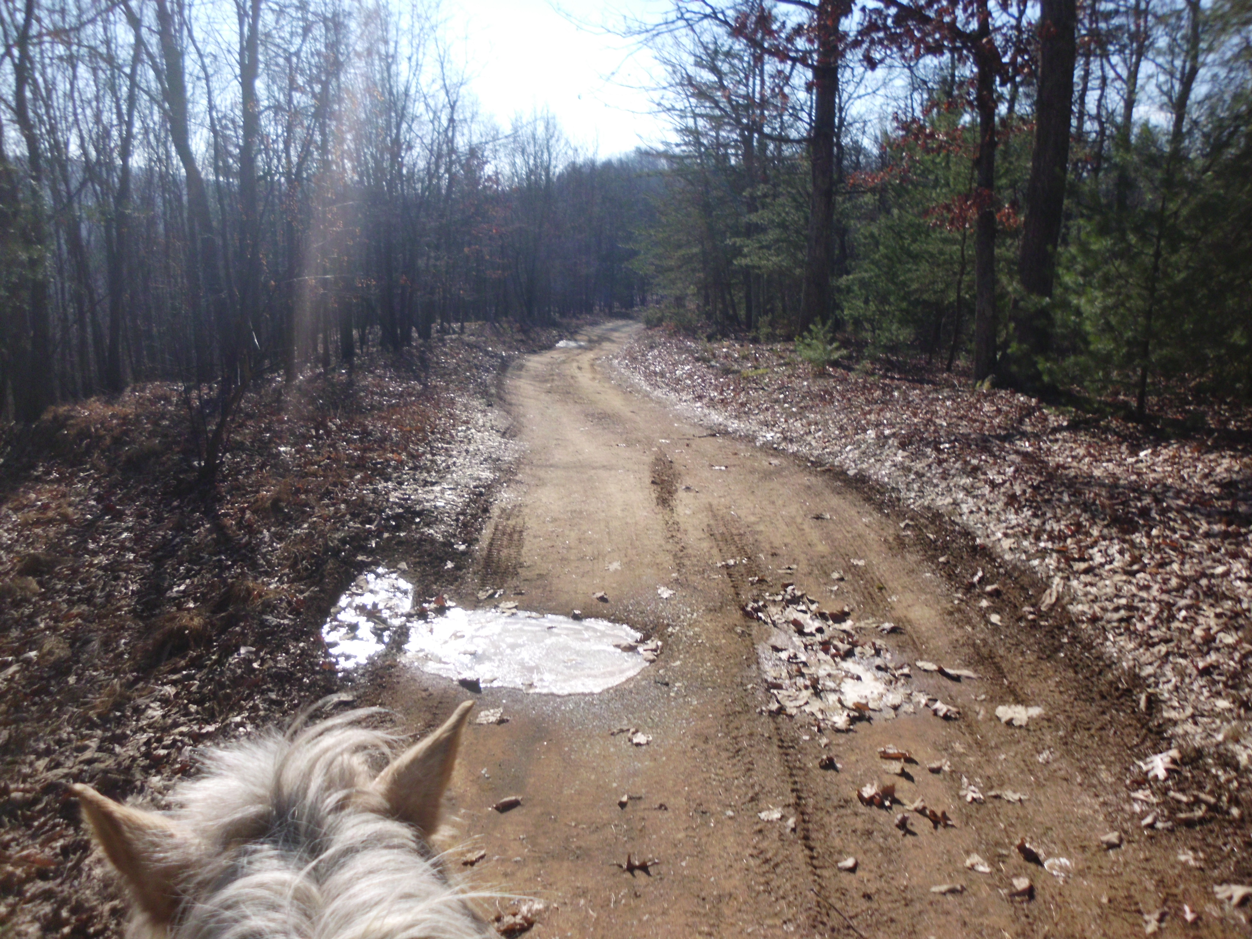
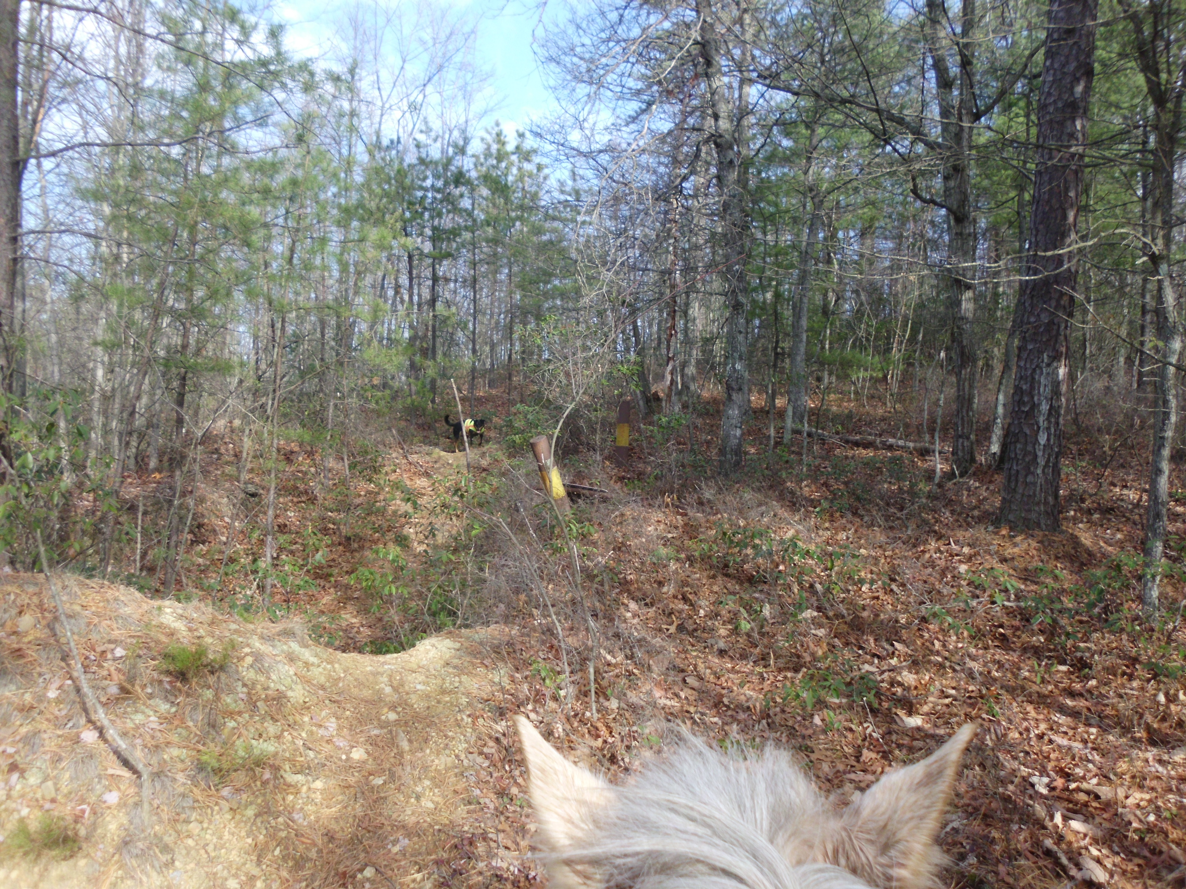
I really wanted to check out the side fire road that I had turned around at the last time I was up there.  This side fire road is marked as being very short on the map, although it is quite a bit longer in reality.  It starts with a closed gate and it provids some amazing views.  There was a log freshly down across the road that required Simon to do a little climbing, but otherwise it was a well kept fire road.  It ends in a tall yellow grass field, and a trail continues, turning up the mountain face.  Again I saw pony poo along this trail.

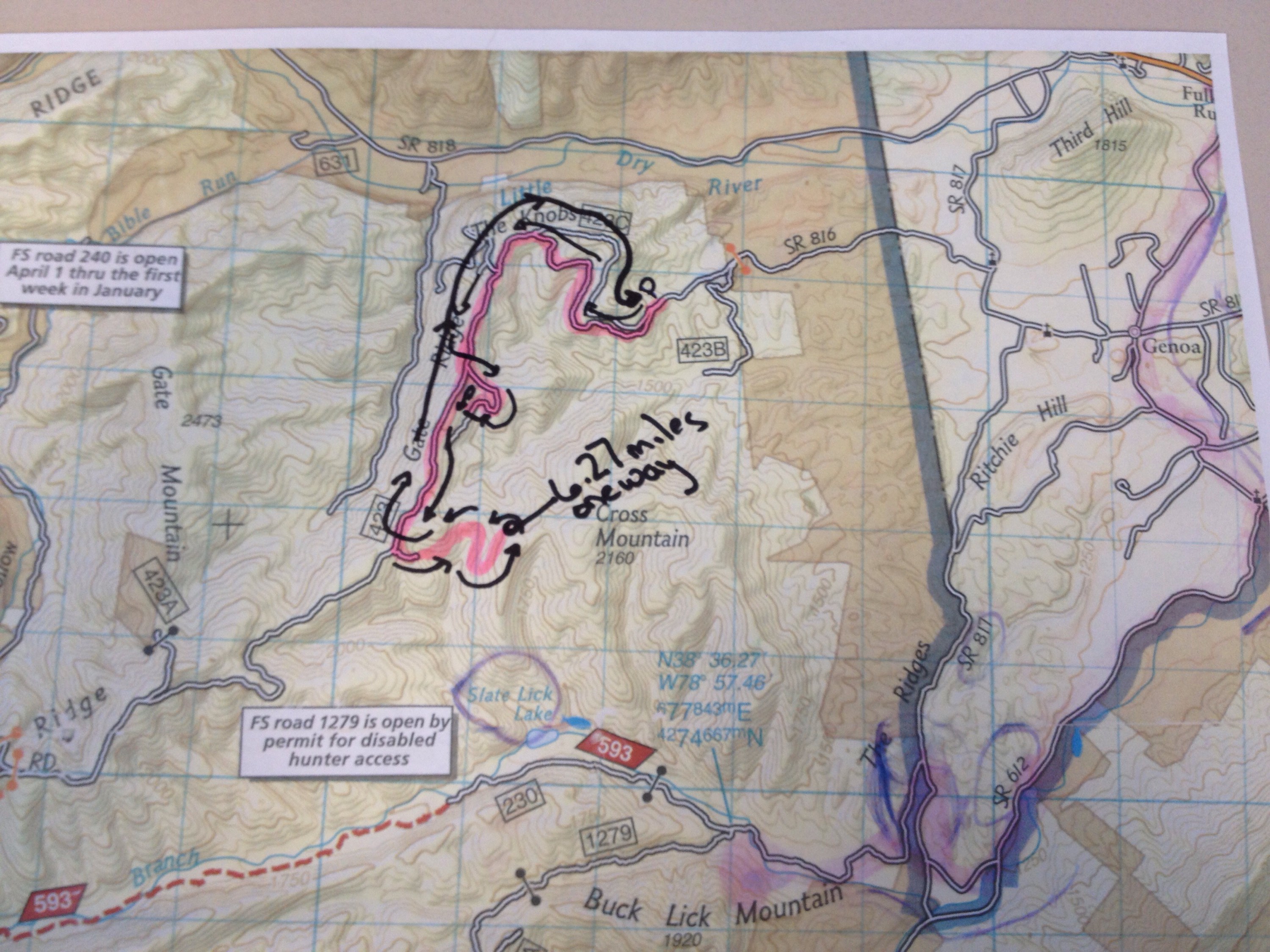
I checked my tracker at this point, which read 6.27, and then my phone promptly turned off.  AHH, this phone shutting off is getting old.  I will be investing in an upgrade soon.  Here I was in the middle of no where, with no person likely to be in this area for a while, days in the least, and my phone shuts off.  Now that I have become accustomed to having a phone on me when I ride alone I have begun to look at it like a safety blanket.

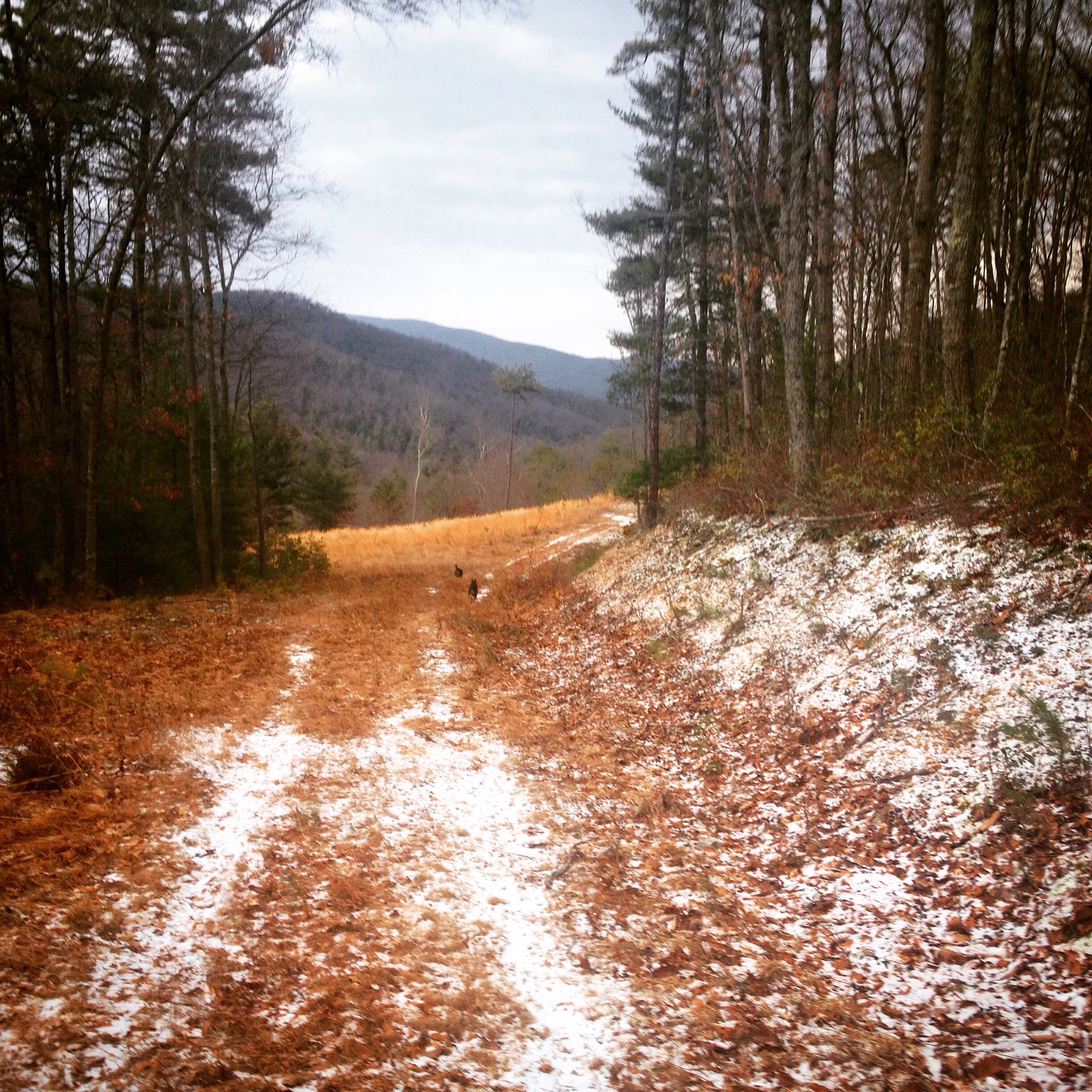
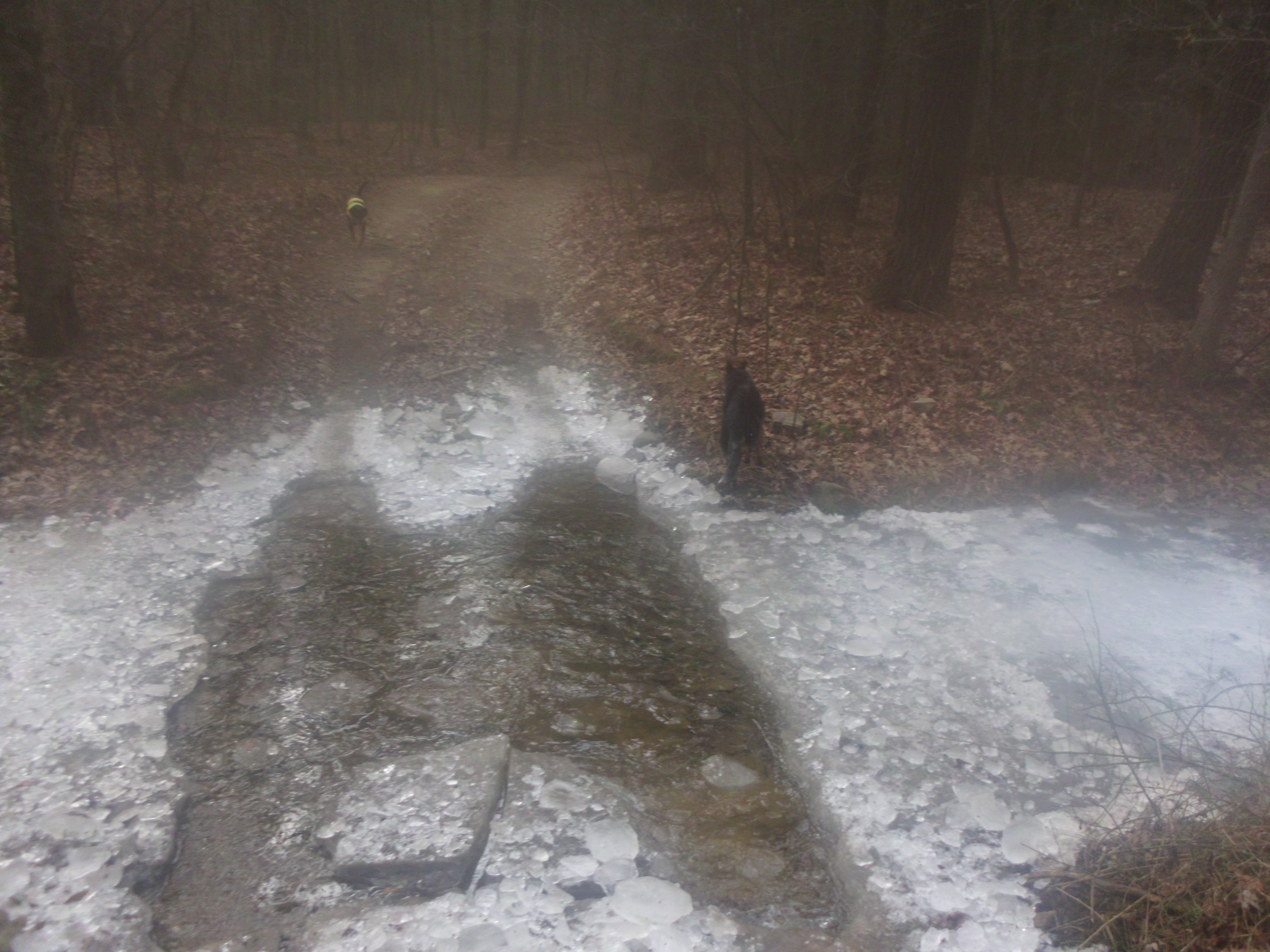
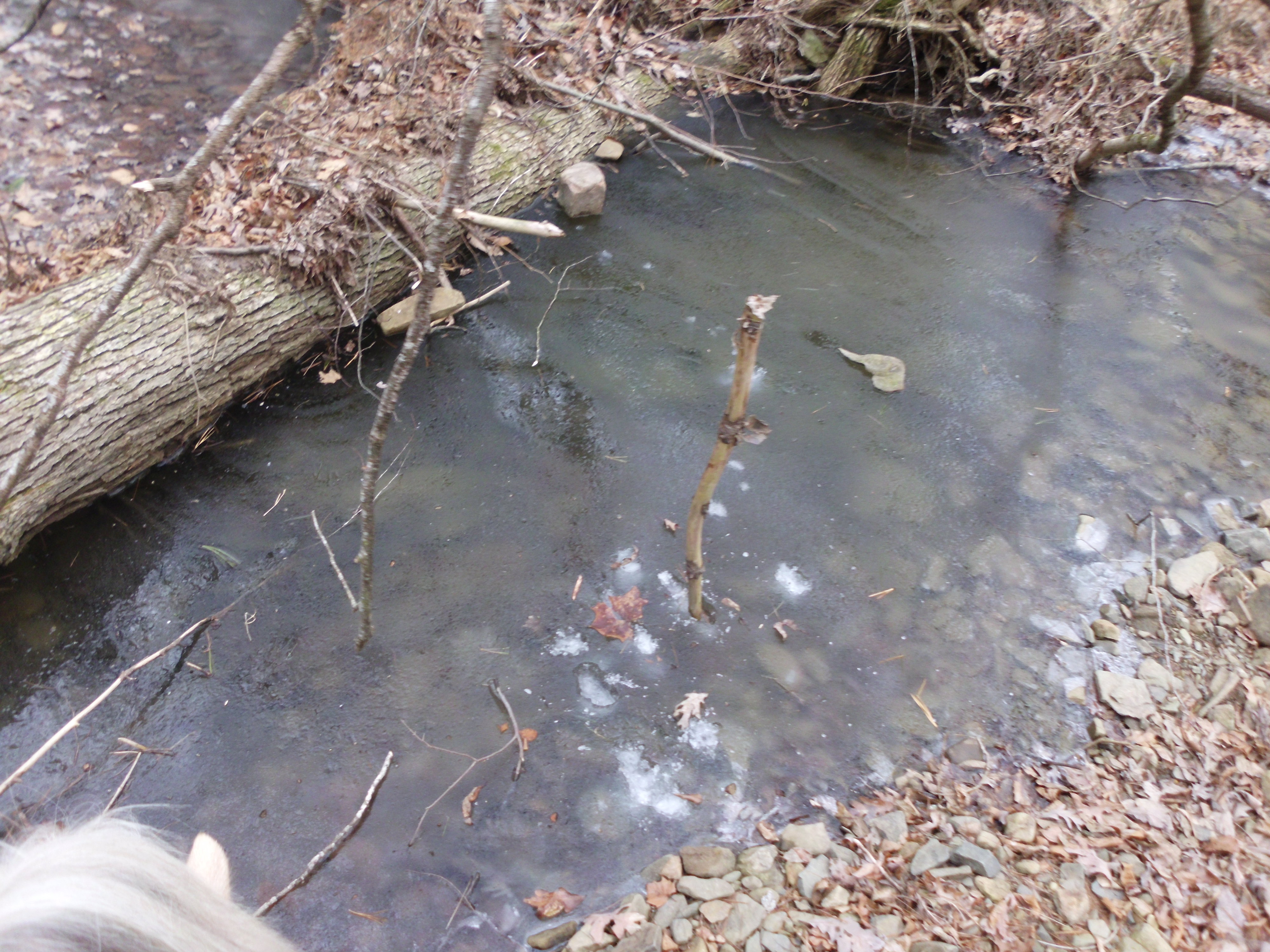
I called the day at that point and headed back the way I had come.  There were some light flurries and I enjoyed the views.  I also managed to drop and break my point and shoot camera, which I take on these rides.  I had stuffed it into my hoodie pouch after snapping off a pic of the amazing view and then proceeded at a solid canter when it flipped on out and crashed to the ground.  My fault.  I never put my camera in my hoodie pocket for just this reason, and I even have a little camera saddle bag attached to Simon’s breast plate just for its storage.  I climbed off to collect the pieces and took the opportunity to water the dogs.

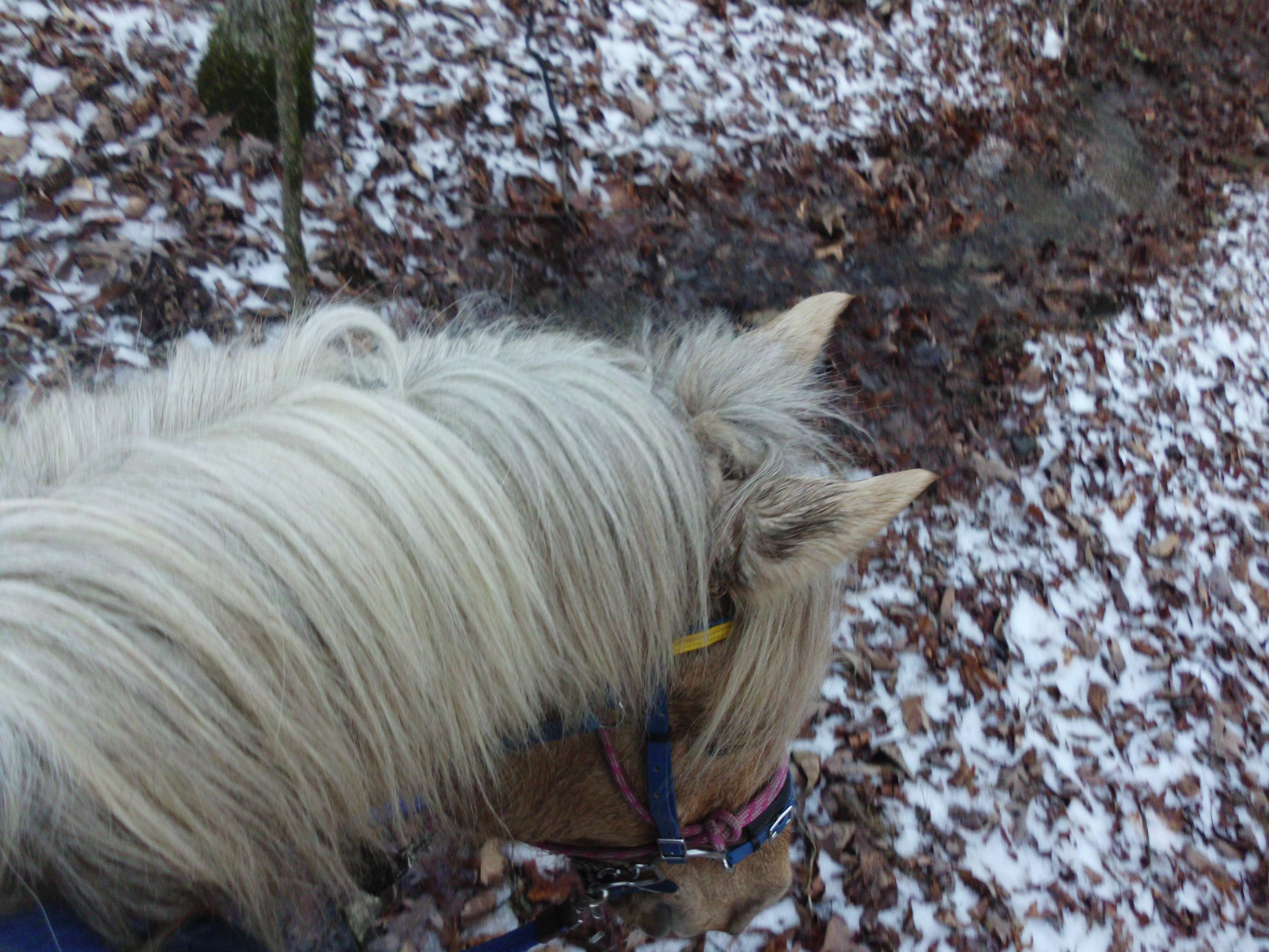
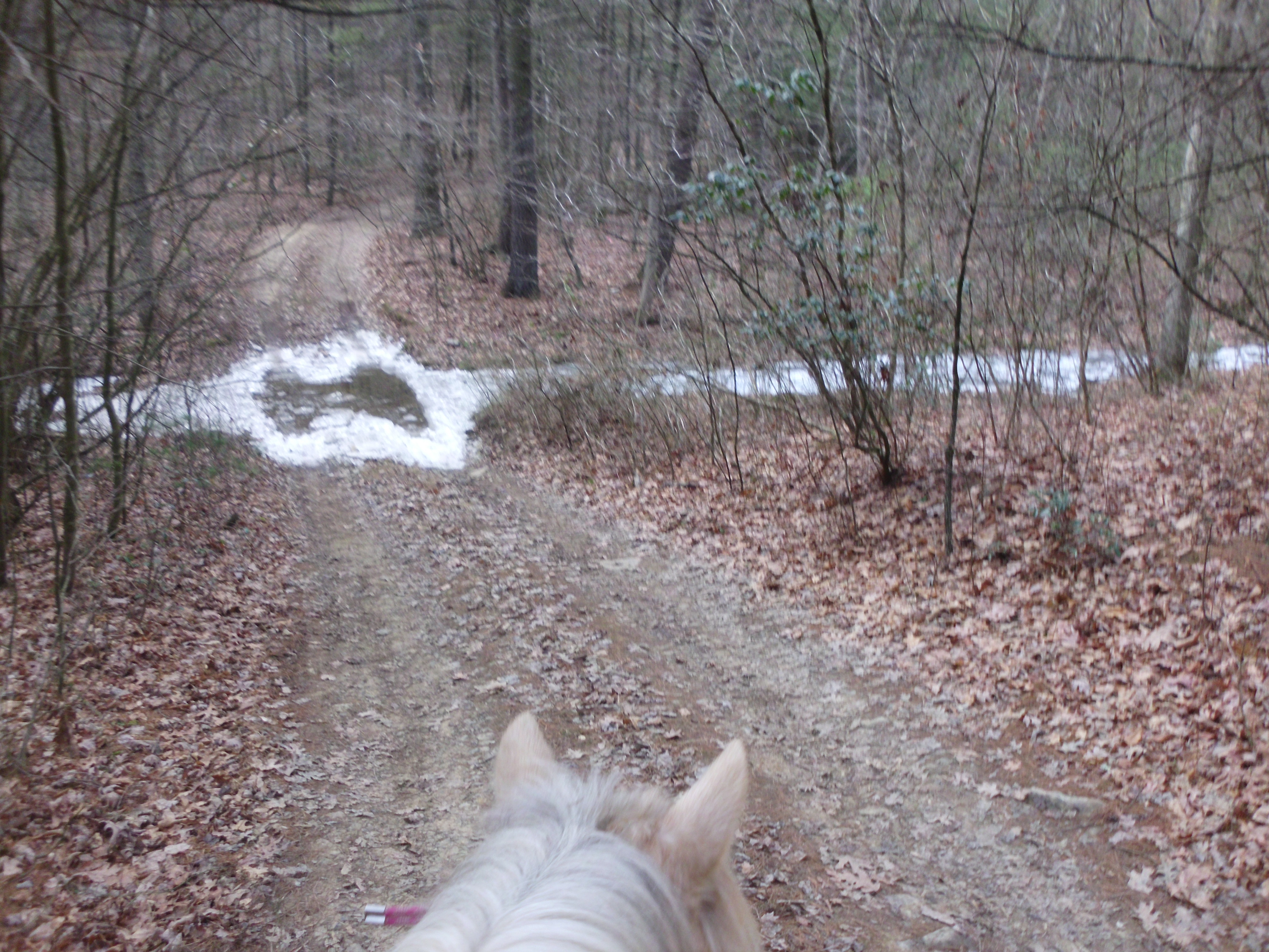
I did manage to get a few good photos on the ride before my phone and camera died.

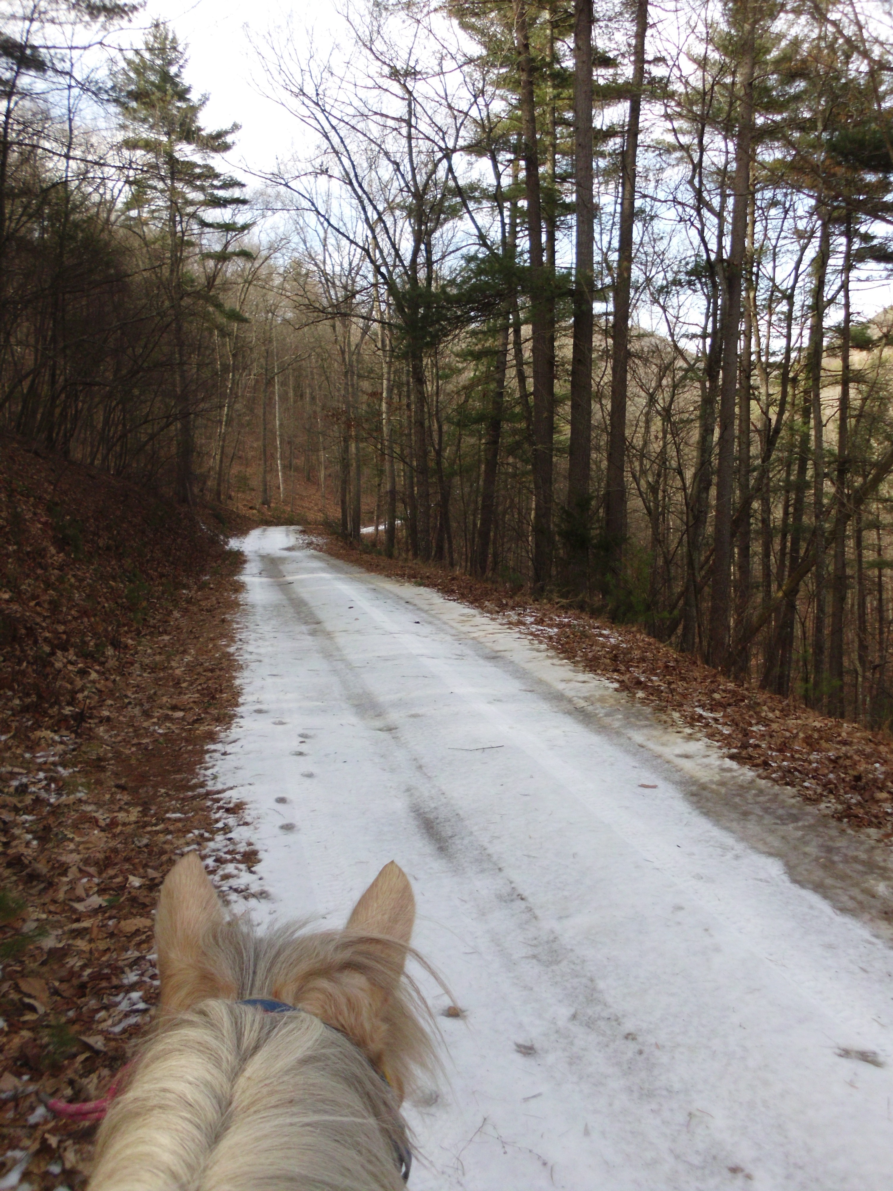
The whole ride ended at about the 12 mile mark and took a little over two hours.  this ride felt considerably easier than the one the previous week at Marshall Run.  I am sure part of it was the significant difference in the temperature.  Last week it was around 50 degrees and this week it was around the 30 degree mark.  This week was also almost all fire roads and Simon and I could make really good time.  There were also no big climbs or descents.  Last week there was a good portion of ice roads to slow us down and winding hilly trails.

We did get that snow during the week, and excessively low temperatures to prevent it from melting.  And we are expecting anther storm on Saturday, so it looks like there will be no trail riding this coming weekend.  I guess training for the spring LD Endurance ride, Fox Catcher in Maryland will have to wait a week.

IMG_4547

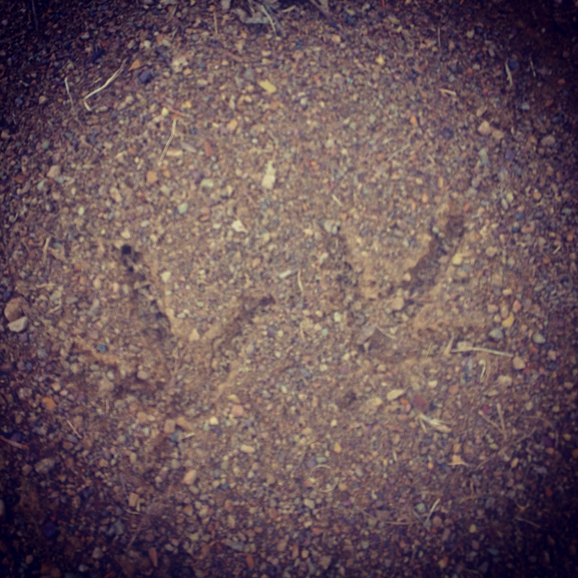
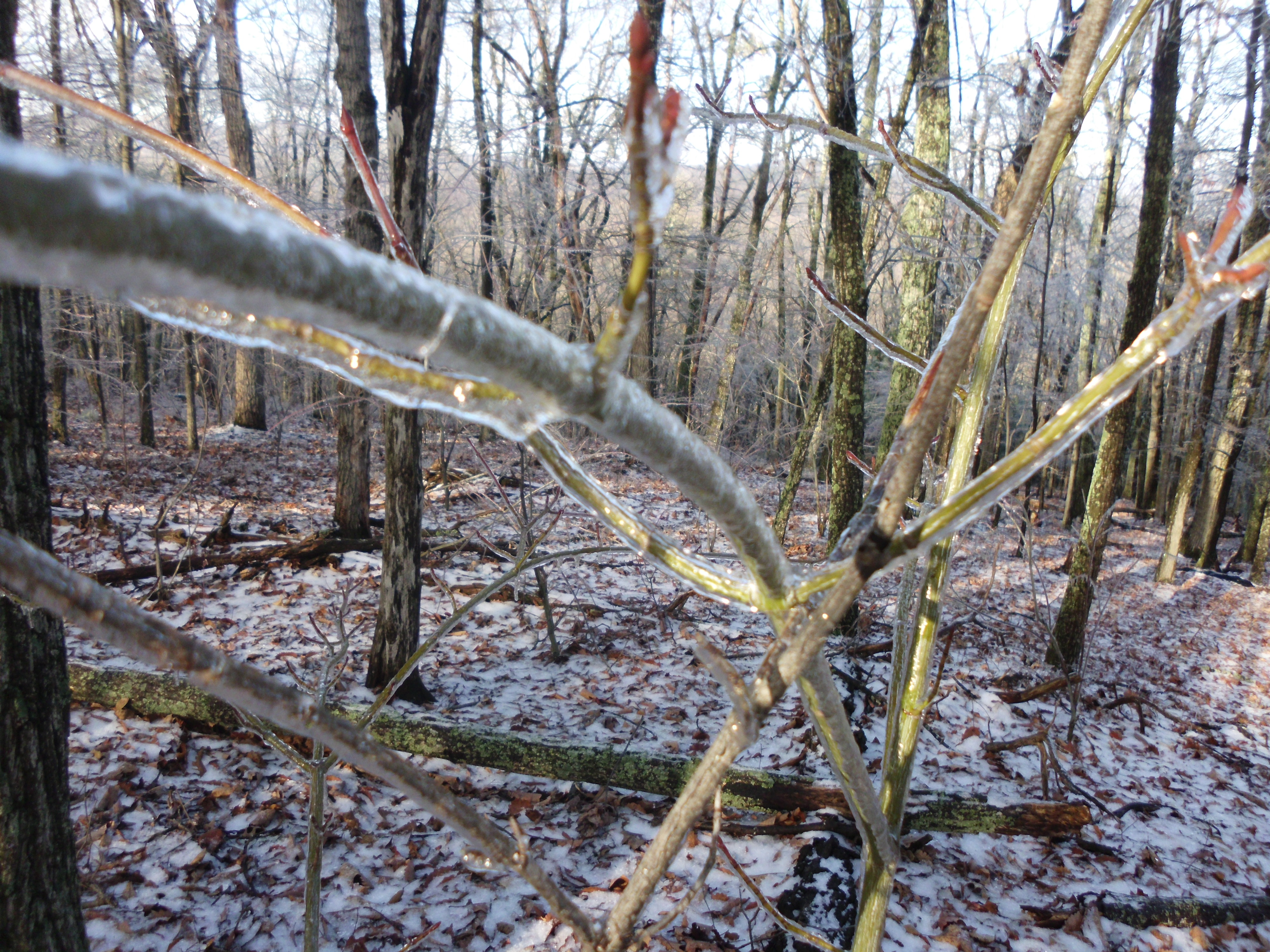
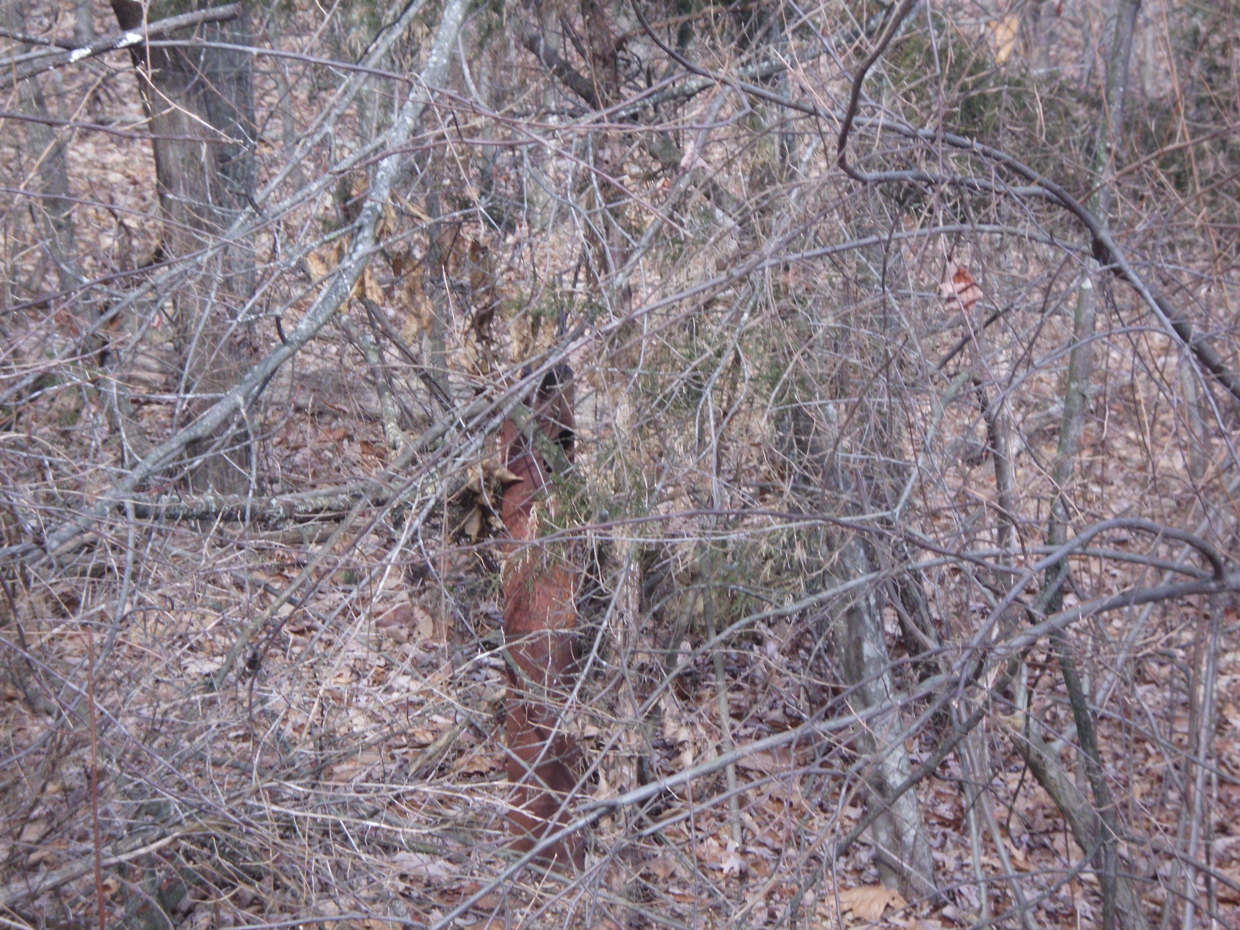
giant bird tracks.  I should have laid something down for size perspective.

IMG_4540

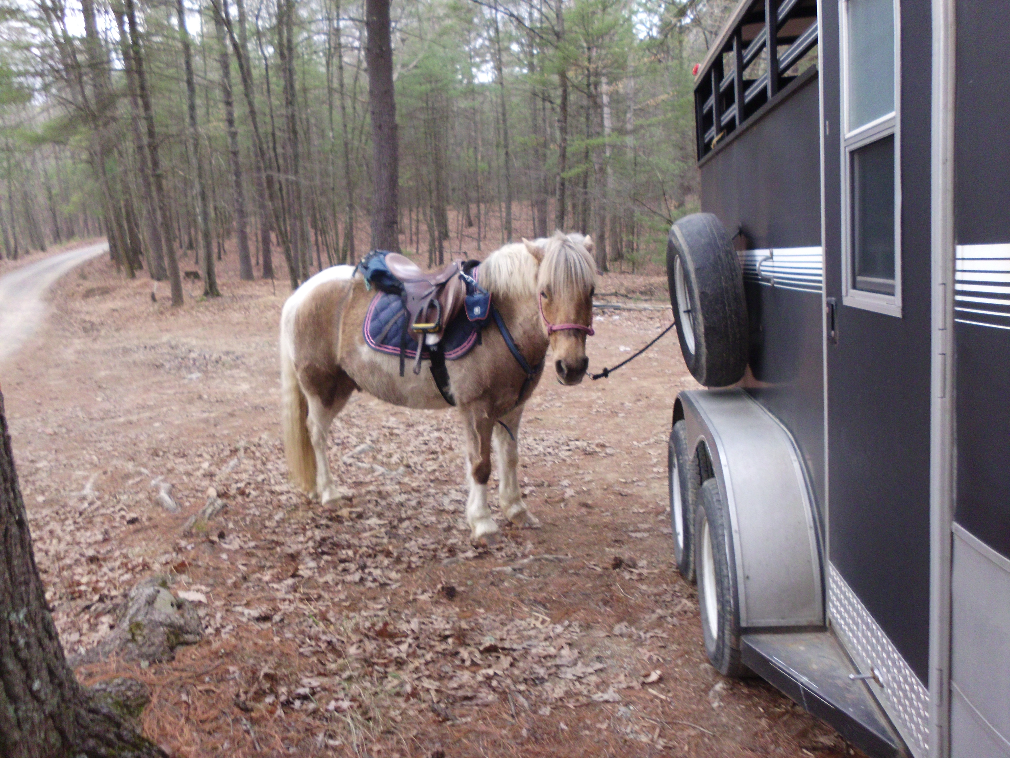
Simon at the end of the ride.  Ready to head back home.

IMG_4539

IMG_4544

IMG_4541

IMG_4546

IMG_4545


Trail Report – 2/7/15 – Marshall Run Loop 235

February 10, 2015

IMG_4448

***Again, my phone cut off the tracker, and it did not complete the circuit for me. Please add about 2 miles and about 25 minutes to it. ***

IMG_4468

Trail ride Saturday, and the weather was unseasonably warm in the 50s. I decided to step up our shorter 5-7 mile conditioning rides and make this one longer. Although I was shooting more for an 8-10 mile ride, but my exploring got the better of me and we ended up going closer to 13 miles.

I went back to Marshall Run. There were already two trailers parked there, mine making three. I hit the fire road and stayed on the main one, bearing right. The snow had melted from the forest, but the snow on the road had melted and refrozen several times making a nice solid sheet of ice almost continuously back to the fire road gate (about 1 ½ miles worth). I had planned to get a nice trot going up the road, and was becoming frustrated with it. Simon was ready to stretch out some and seemed intent on walking directly on the slipperiest parts of the ice, instead of the very narrow shoulders on the sides. The dogs were running and sliding out on the road, which was actually rather funny. I hopped up onto one of the unmarked side trails about ½ way up the road. It is on the left hand side as you go up, at one of the bends to the right in the road. Is a step but short step up, and leads to a rather smooth trail. I saw signs of horses having used the trail somewhat recently, and some encroaching branches that had been snapped back but there were a few more recent logs down that needed a chainsaw to eliminate them. Only two of these were too big for Simon to step over, the first one being easy to ride around. The second one had some snow around it, making it a bit slippery at the ride around, so I decided to save this trail for another day and went back to the road and continued up.

021

Icy fire road on the way out.

I explored a few other turn offs but none that were that enticing. Which left me ready to take the loop, in the opposite direction as is typical. I passed the fire gate, and over the creek and along the fire road, and then I turned off and into the forest. It is a well-used but unmarked trail, with several creek crossings. I came head up to three riders, from the other two trailers, and we stopped for a good fifteen minute chat before moving on. I continued down the trail, past the turn, which was uphill to the right, and very easy to miss. I just to see what was ahead. Although, knowing that the loop is already a good ride, and having added a few miles already with exploration, I returned to the turn off. We headed up the hill and enjoyed the terrain, eventually coming back around to the fire road. By going this way I had saved the gradual downhill for a longer part of the ride. Which gave me the opportunity to work on Simon’s downhill. We trotted quite a bit of it and cantered some as well. The road was nice and clear, with just a few snow spots on shadier places.

026

Eventually we reached back to where we had turned off and continued the ride back. Again being annoyed by the icy conditions for the last 1 ½ miles. I did note that there had been considerable melt while we were on our ride, making the shoulders wider and some of the ice areas much smaller! The whole loop was clear, freshly so in some places (THANK YOU), and made for an excellent ride. The actual loop, if I had left off all my exploring, would probably have been close to 10 miles, I’ll try to track it more accurately in the future.

I was also pleased that Simon was still peppy at the end, eagerly picking up a trot or even canter.  Although I was a little sore the next day, I think our conditioning is coming along.


Trail Report ~ 1/24/15 ~ Marshall Run 235

January 28, 2015

image1

I rode the pink highlight to the best of my drawing ability.  This is marked on map 729 for the National Forest. 

IMG_4287

*Add 1.3miles and 20minutes to the calculations

The weather was a little inclement Friday night into Saturday morning, but the roads were clear, the grass was mostly just dusted.  So I decided to go for a new trail t adventure.  I picked a local area that had paved road parking available and headed up Marshall Run 235.  This fire road wraps quite a ways back into the forest and splits in two directions at a closed gate.  Its a rough drive up with very few areas for passing.  Not the most comfortable drive with a horse trailer.  But there is turn around, although a little tight, and parking at this split.  This is not something I am sure I will consider driving my trailer on a nice day, so I decided to try Clover Lick Run 731, which is much shorter and ends at a three way split.

005

013

014

012

016

Part way up Clover Lick is a trail that crosses the creek and heads off into the forest.  I believe this is a trail I rode with a friend some six or so years ago that loops around and back to itself.  I decided to stick to Clover Lick and headed up to the three way split.  Straight ahead works its way out of the forest and to private property.  The left branch does the same.

015

017

The branch to the right starts as a pretty clear trail, marking very diligently in orange marker tape and spray paint.  Eventually the trail became heavily leaf littered, but the orange markers made it easy to follow.  This was also true as I climbed higher along the ridge and into a frosted wonderland.  All of the trees, branches, brush and leaves were coated in a layer of pristine ice.  On occasion a light breeze would pass by, allowing some small ice bits to *tink tink* to the ground.  Simon’s hooves crunched along, and I sat looking around in wonder.  It is the one time I really wished I had a real camera along for the ride instead of just my little pocket point and shoot.  It did not even come close to catching the magic wonder of the forest.

022

038

053

063

Sadly the orange markers disappeared.  I was nearly to Clover Lick Knob, but with the leaf litter and ice coating, I did not feel comfortable pushing on with no markers.  I did find one orange piece of tape on a branch on the ground.  It would have created a switch back, and there was a big of an over grown trail it led to, but it trickled out shortly.

I was getting a bit chilly after walking along the ridge top for so long, and decided it was time to head back.  Annoyingly my iPhone turned off, presumably from the cold, on my ride back.  My calculation adds about 1.3miles and 20 minutes to the ride after what the app recorded.

085

094


Trail Report – 1/18/15 – Turner Run

January 21, 2015

sun map

One day was not enough, so I got up early and headed back out on Sunday.  I decided to make this day into an exploring day.

IMG_4200

I started out on the first left hand turn that is right at the entrance to National Forest.  It is marked 423B Turner Run and wraps down, crossing some creeks.  It is also well marked on the map, although the very clear road disappears completely when it is marked as continuing twice in different directions.

089

096

112

095

144

090

134

104
I spent a good hour down in this area exploring and then headed back up the road to an unmarked side trail midway between the perimeter of National Forest and the closed gate. This fun trail eventually wrapped back down to the bottom of 423B.

Next I tried an unmarked trail that popped out behind a parking area.  it wound around, and had several side trails that lead off of it.  One ended at the edge of National Forest, at well maintained private trail.  I turned around and hopped onto the next trail branch.  It followed what I figure is an old overgrown logging road.  It eventually climbed up quite a ways.  At the top it became too leafy to follow, so I called it and headed back down.

163

119

I managed to explore all of the area before the closed fire gate and now I am ready to head into a new area to explore!

164

Simon says “give me cookies now!”

sun


Trail Report – 1/17/15 – Turner Run

January 20, 2015

sat map

I was a little grumpy this week and I didn’t have a good reason to be.  Then I realized I had not really gotten in any ride time in the past few weeks.  We are talking very minimal butt in the saddle.  At least the one time I did get in a good ride it was a games practice!  So I needed a mood-adjusting-ride stat!

IMG_4201

Having two days off in a row, with the weather predicted to break into the 40s, with no precipitation, that meant trail time.  I decided to start off Saturday in a new-to-me trail area, Turner Run.  Its just north of the popular Slate Lick area.  Turner Run Road turns into a dirt road, and works its way up into the mountains.  I drove up, and passed the first fire road signs, continuing to the closed fire road gate to park.  There are quite a few places to park between the first National Forest signs and the closed gate, and plenty of room in three places to easily turn a trailer around).

088

I decided for this ride, I was going to get in a few miles and make tracks up the main fire road, 423 Gauley Ridge.  This fire road gate was clearly open during hunting season, and a lot of hunters made places along it home.  There are plenty of pulls offs, camping circles and parking.  It is a wide and rather smooth fire road, no gravel and very few rocks.  I would feel comfortable taking a barefoot pony there to ride on this fire road and probably will later this spring.

023 024

032

I made a right onto the first clearly marked fire road that came up, 423p Dave’s Turnpike.  There was a large cleared area for camping at this juncture, and 423p was closed off with a gate.  It clearly has been closed for a long time, the road was over grown, although still clear of trees.  It wound down and around, ending at a nice wide turn around.  The footing was a bit rougher than the main fire road, although Simon and I had a nice gallop back up it and the views were pretty amazing.

045 012

I suspected I had missed the first split in the fire road, which appeared to make a loop (see map above), and that this must have been the back connection.  Clearly this was not the case.  Looking at the map it was obvious I had surpassed the loop area completely and this was the first fire road branch on the right.  I continued along, passing a turn to the left and eventually turning around at the next turn to the left where I met some friendly grouse hunters.

074

021

I passed quite a few side trails, which I decided to forgo for the day. This was not easy for me!  I love to explore.  I also saw a destroyed fire gate lost in the woods like some distopian future reality.

073

I did decide to give one of the unmarked side trails a try on the way back.  I suspected it was the missing part of the loop that is so clearly marked on the forest service map.  And yep, I was right!  There was even an old busted up gate a little ways back (although there was nothing at the bottom end to mark it).  Completely over grown, and not a trail I care to try again, it was pleasant in some places, but just too over grown in general.

075

077

080 001

The fire road is relatively smooth and flat for the most part, and there are plenty of nice views thrown in.  Even during this boring brown time of the year, it was a lovely ride.  I did not see much wildlife, just some common birds and squirrels.  Even the grouse hunters said they were luckless for the day.  I am looking forward to some more exploring rides up there, as well as putting in some miles.

sat