Trail Report – Gauley Ridge/Turner Run, just a hack 

February 8, 2017

It’s been a while since I have posted a trail report.  I have been trail riding, just not posting.  But this evening I was looking back at a trail report and started to get excited about trails I had forgotten about.  Which inspired me to start recording them again. 

Yesterday the weather was amazing. Seriously it hit 70 freakin degrees. So what does an unemployed horse girl do on a week day in February with 70 degree weather. She hits the trails.  

It’s been a while since I hit up the Turner Run. The drive in was simple and easy, and I pulled into the parking area at the top of Gauley Run and found it trashed. A ripped up couch and – no joke here – Pieces of hog strewn about. Yep, hog parts. Who the flip does that? 3 giant hog heads laying out in the parking area? Not ok.  

So I parked, took a few pics with my phone for proof, and then hacked out.  

Simon and I were feeling chill so we took out time and did a little “refreshing” of the area. It’s been so long I needed to remember where I was.  

We went down the right hand, Daves Turnpike trail (closed gate in the back of camping area to the right side of the road). Nice views.  

We took the top road on the way back. It’s marked on the FS map, google maps, tracking apps, etc. this was surprisingly clear. There were a few ehh spots but not many and I was actually surprised.   


Trail Report – Old Man Run 1117 – Exploration Day 1

April 6, 2015

image1 (2)

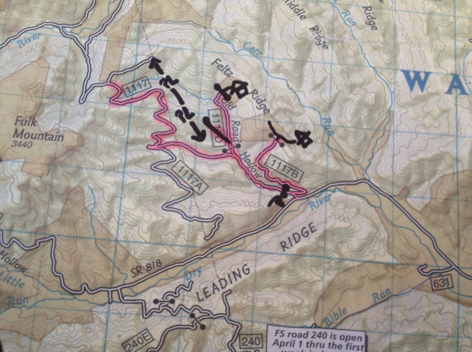
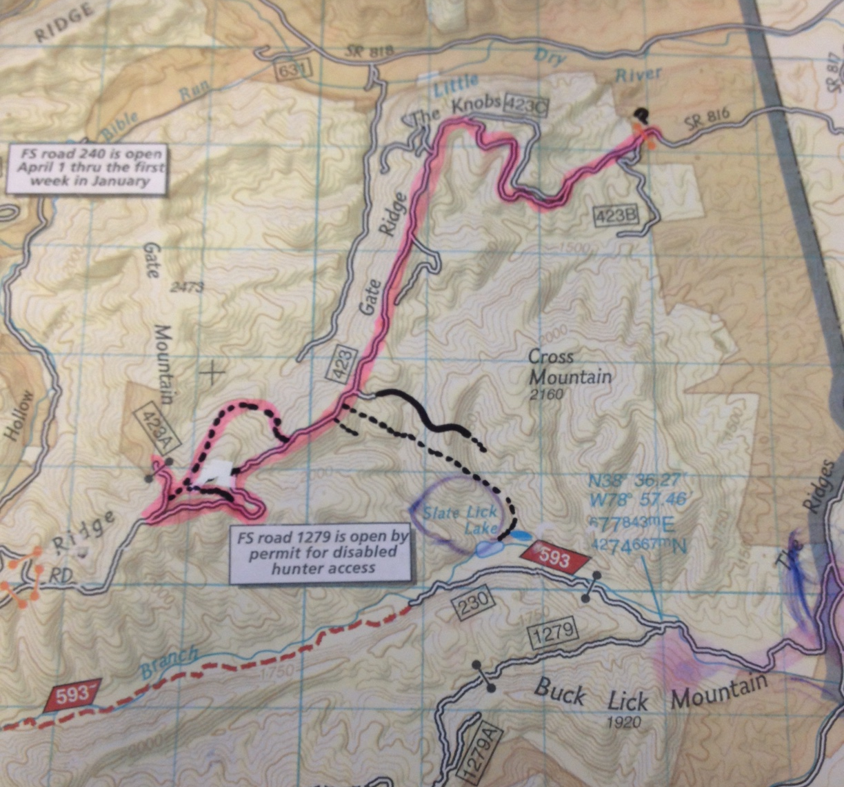
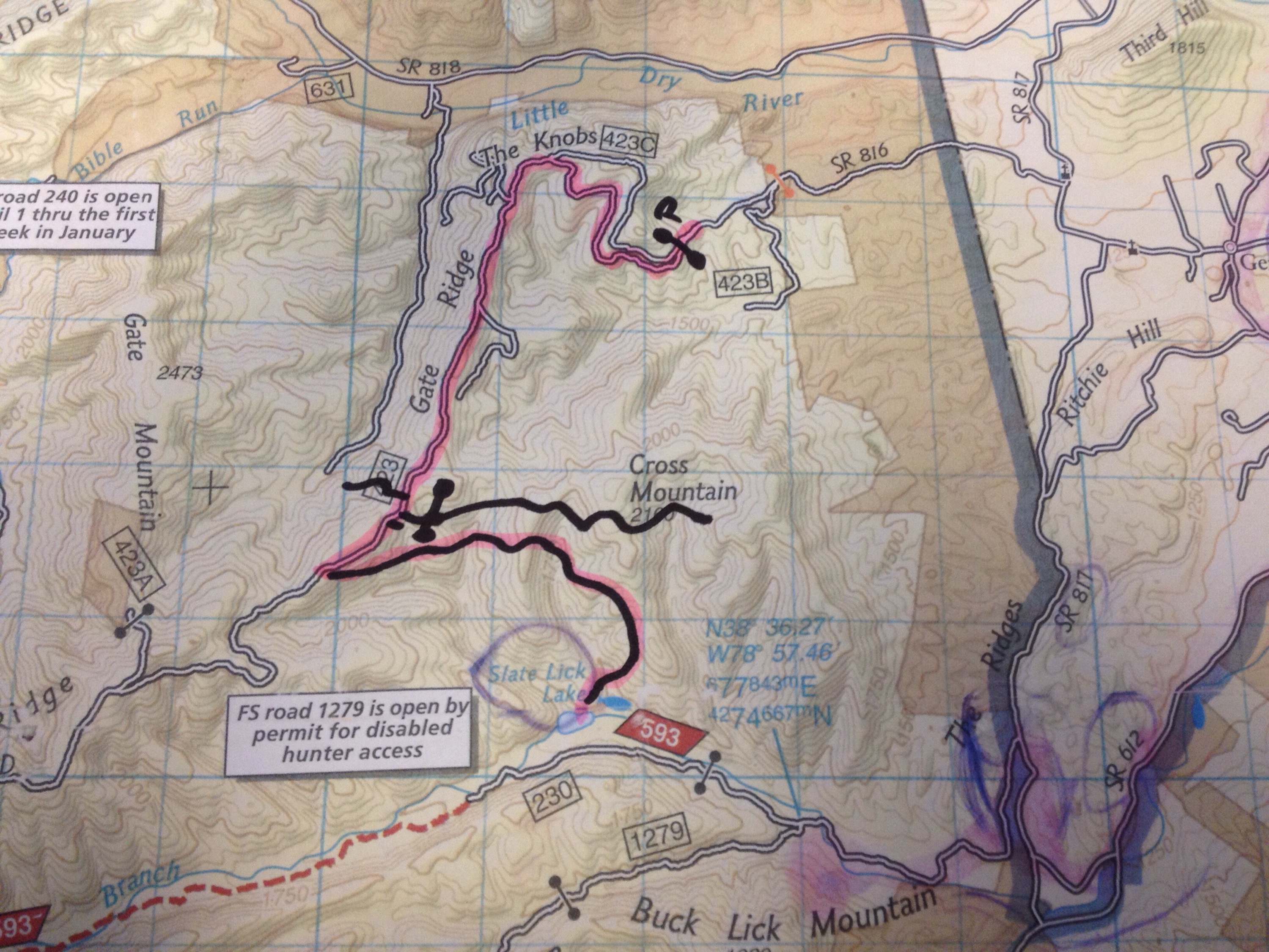
On Sunday I checked out a new (to me) trail head off Little Dry River Road in Folks Run area.  Driving a few miles back on Little Dry River Rd, there is an “Entering National Forest” sign on the right hand side, and a little ways past that is a road on the right, Tom’s Cabin (or Camp) Road, I think.  It is well marked as a trail head for 1117 Old Man Run, or on the Forest Service Map, Old Road Hollow.  Just to make things easy.

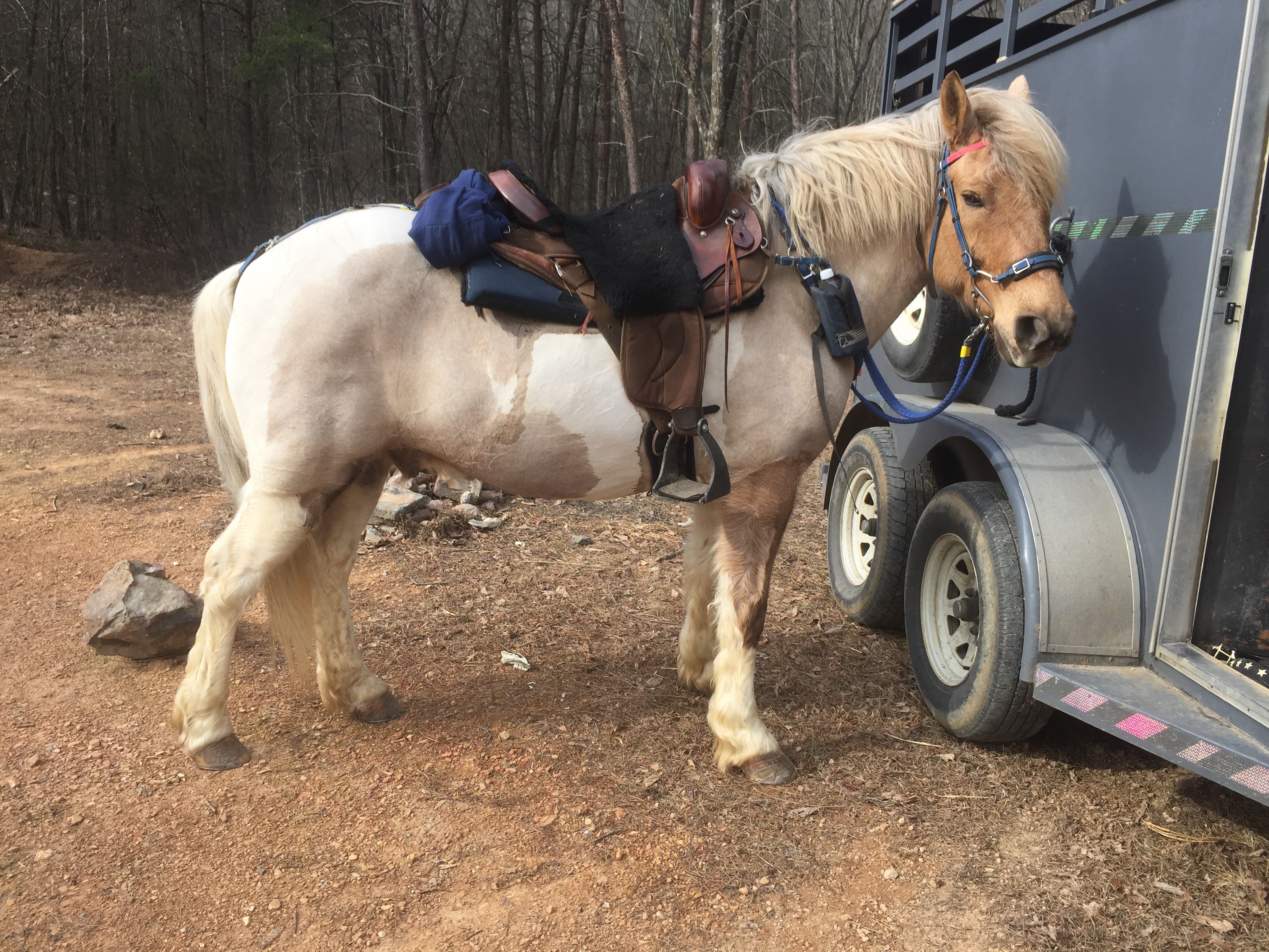
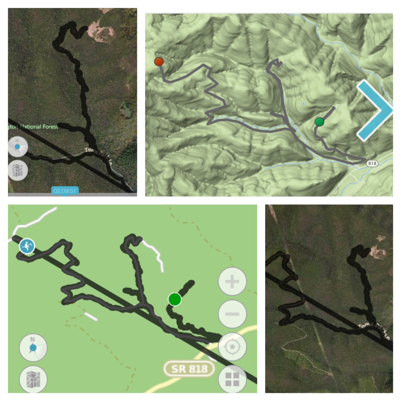
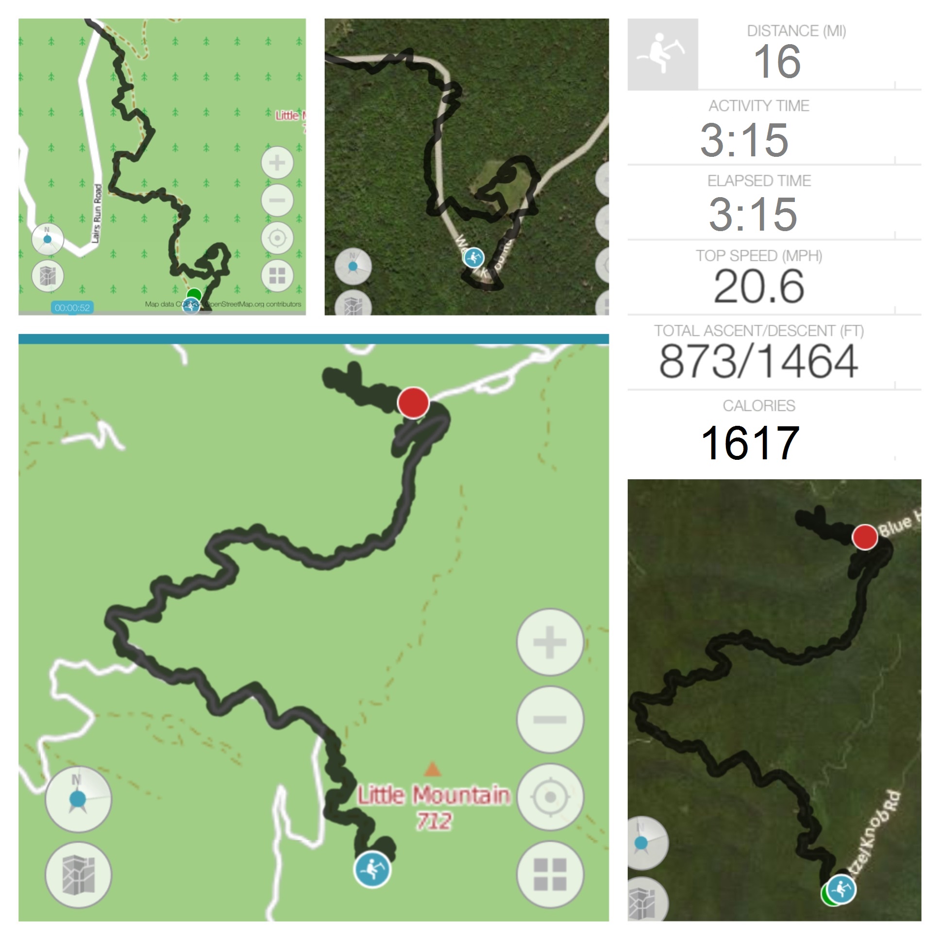
I pulled in, drove just a few dozen yards, and turned around by backing my trailer up the first side fire road on the right, and then parked on the nice wide side, designed for parking.  I spent about 3 1/2 hours exploring around 14 miles of forest.

image2 (2)

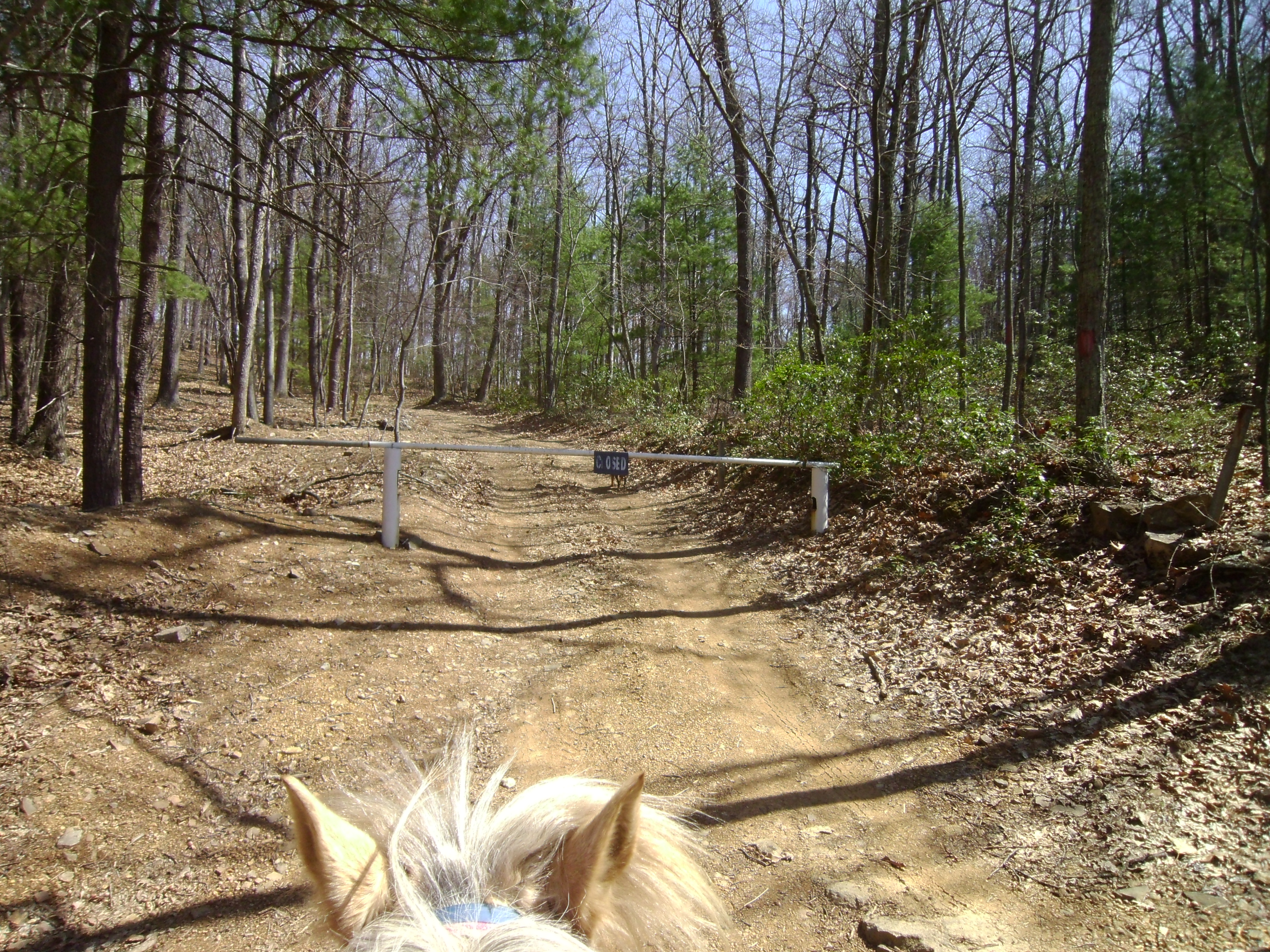
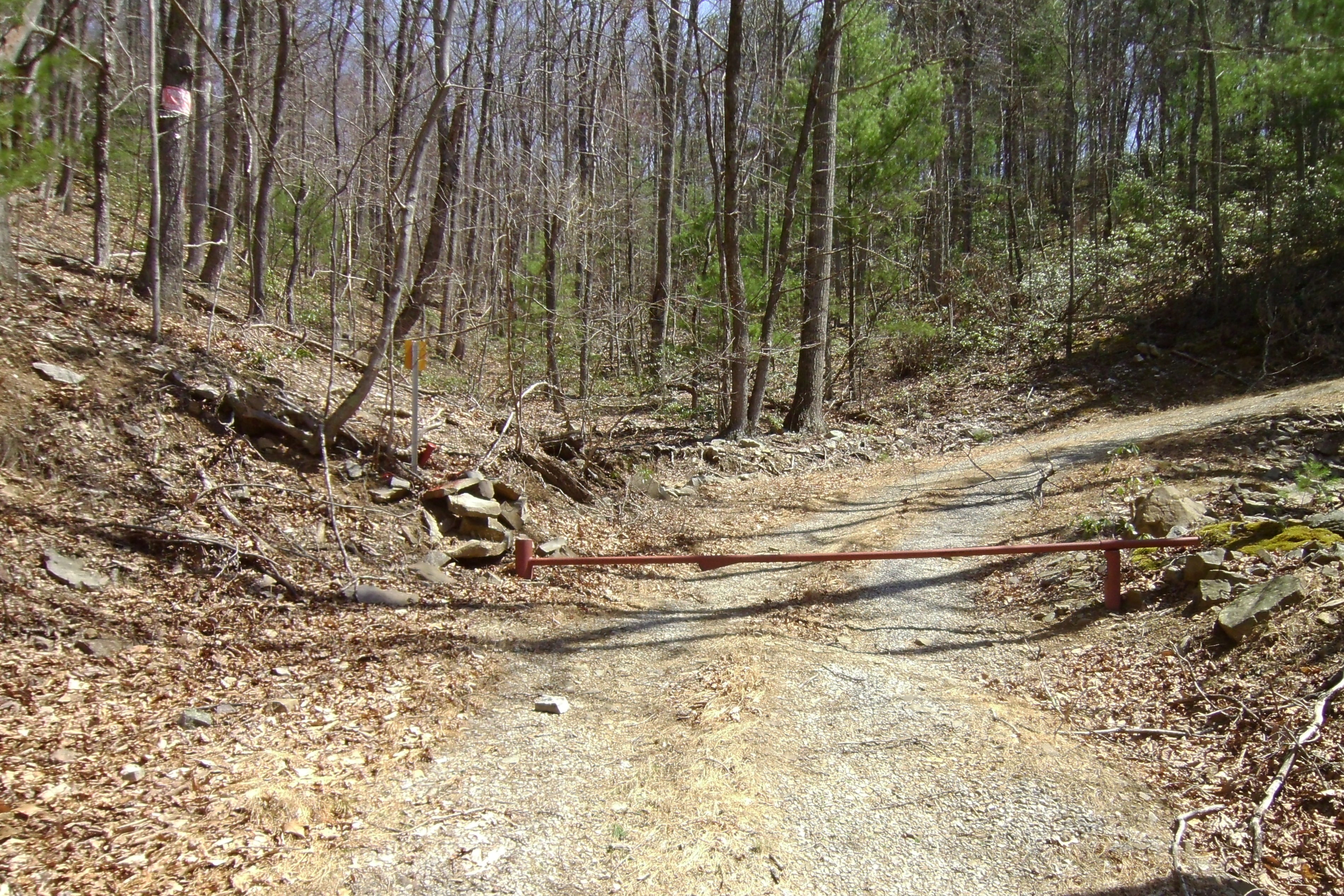
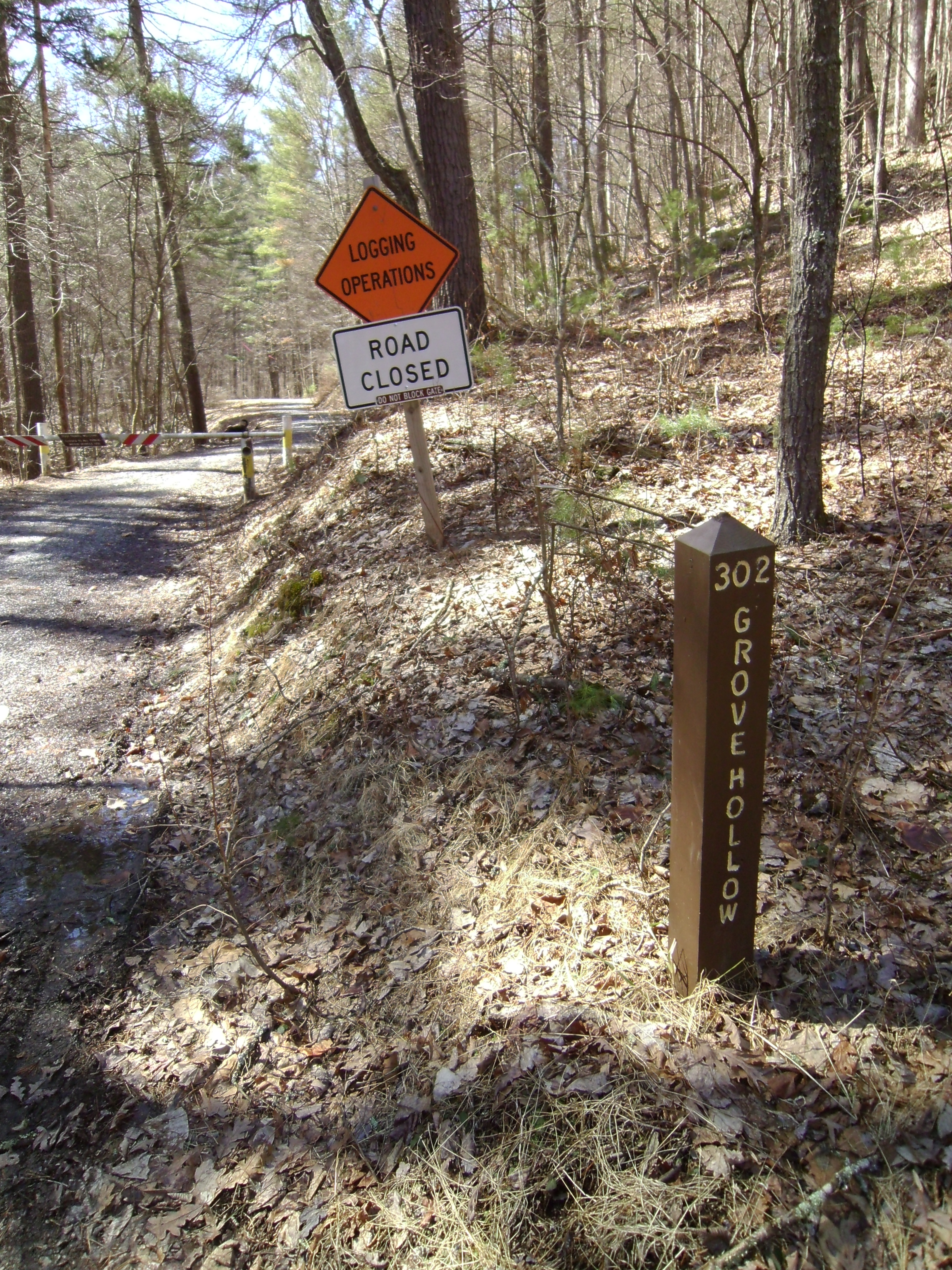
I initially started out by taking the fire road to the right, 1117B, the one I backed into to turn around, and rode up it to the top.  There was a fo-fire road gate, closed. Just a few yards beyond this closed gate the road slit to the right and left, and to the right is a house.  I did not venture off onto private property.

SANYO DIGITAL CAMERA

SANYO DIGITAL CAMERA

I headed back down to my start, and decided to head up the main fire road, and through the open gate, which is just a few yards from the parking/turning around area.

????????????????????

????????????????????

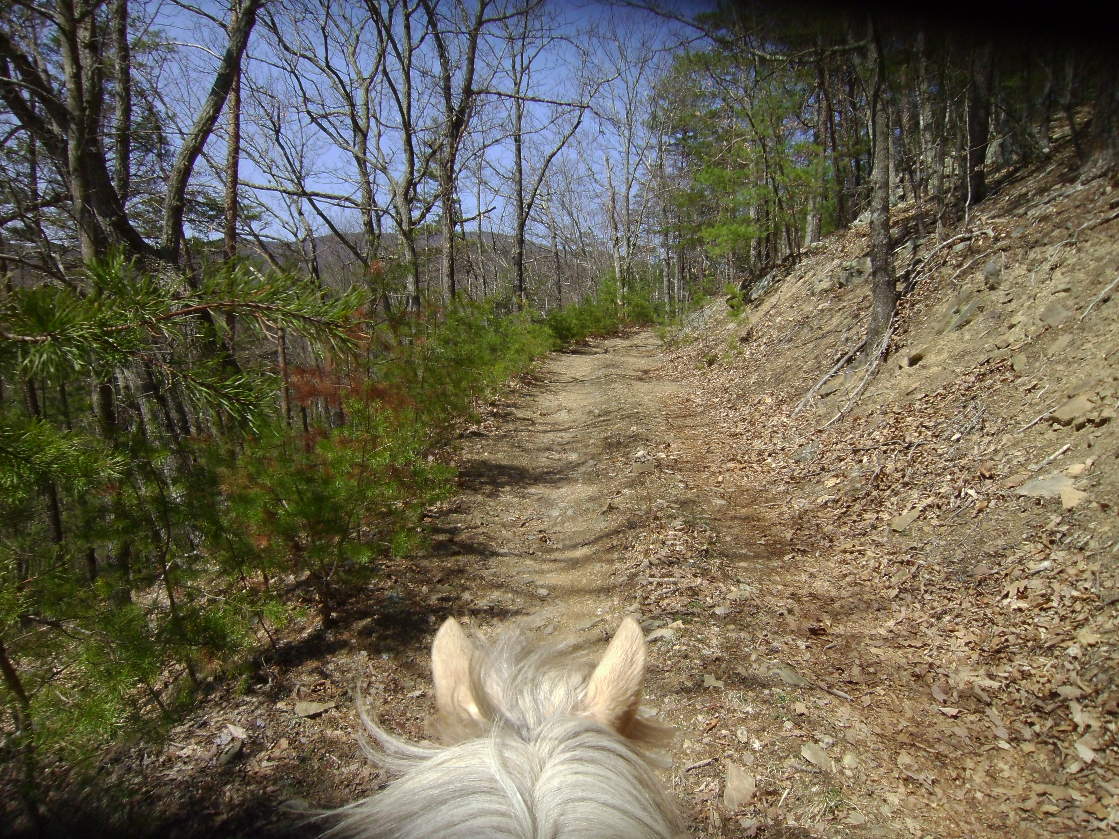
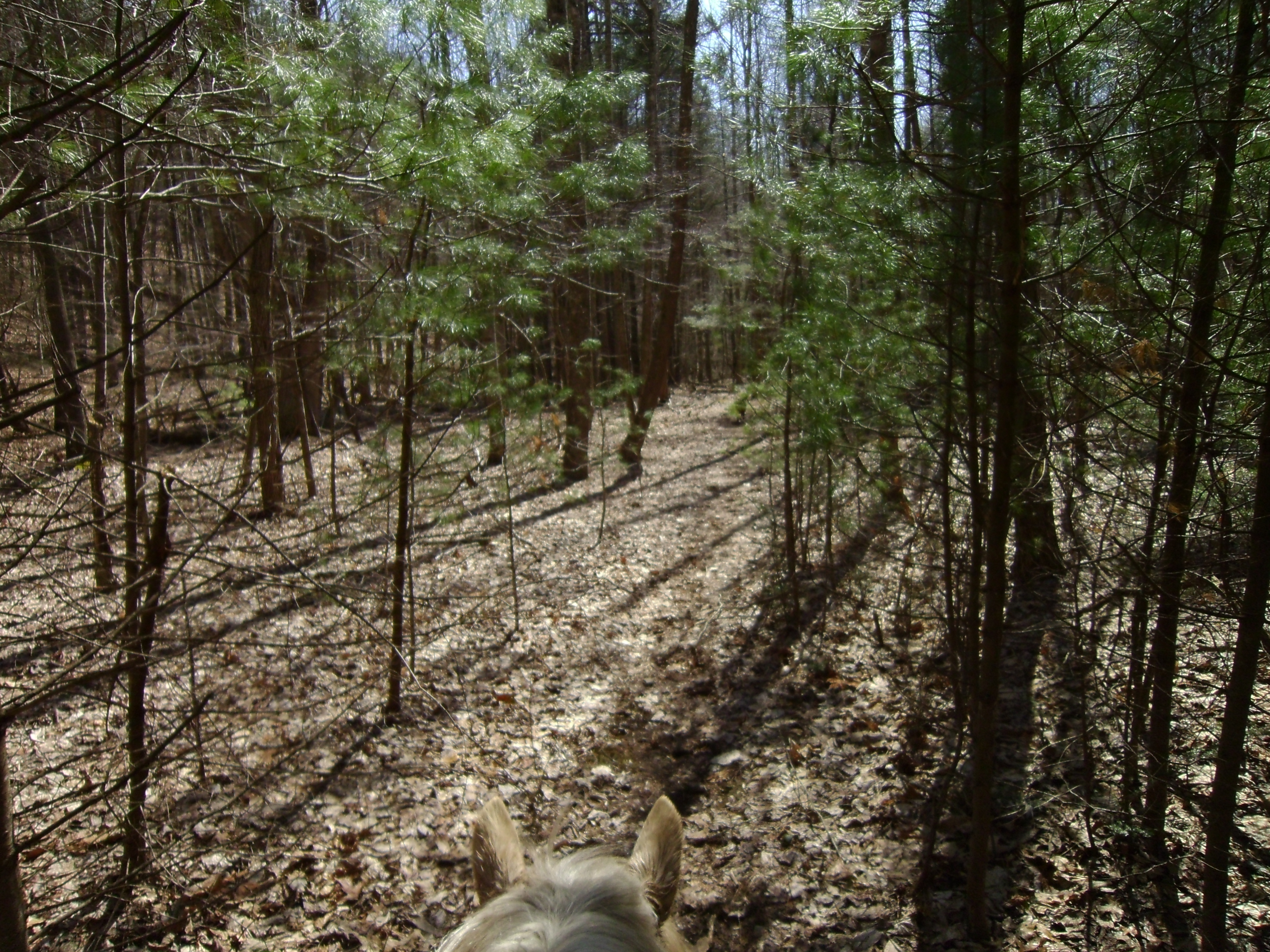
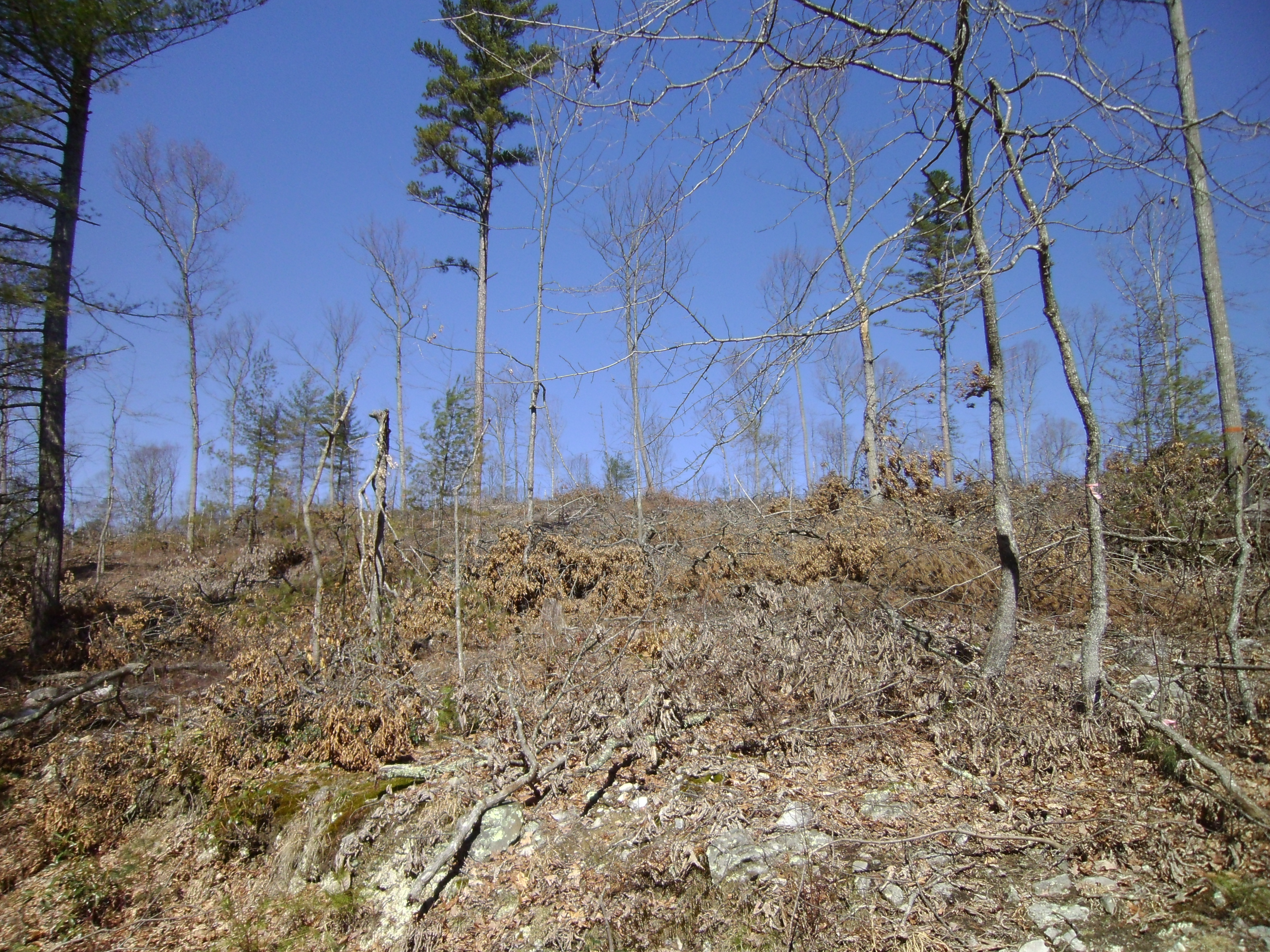
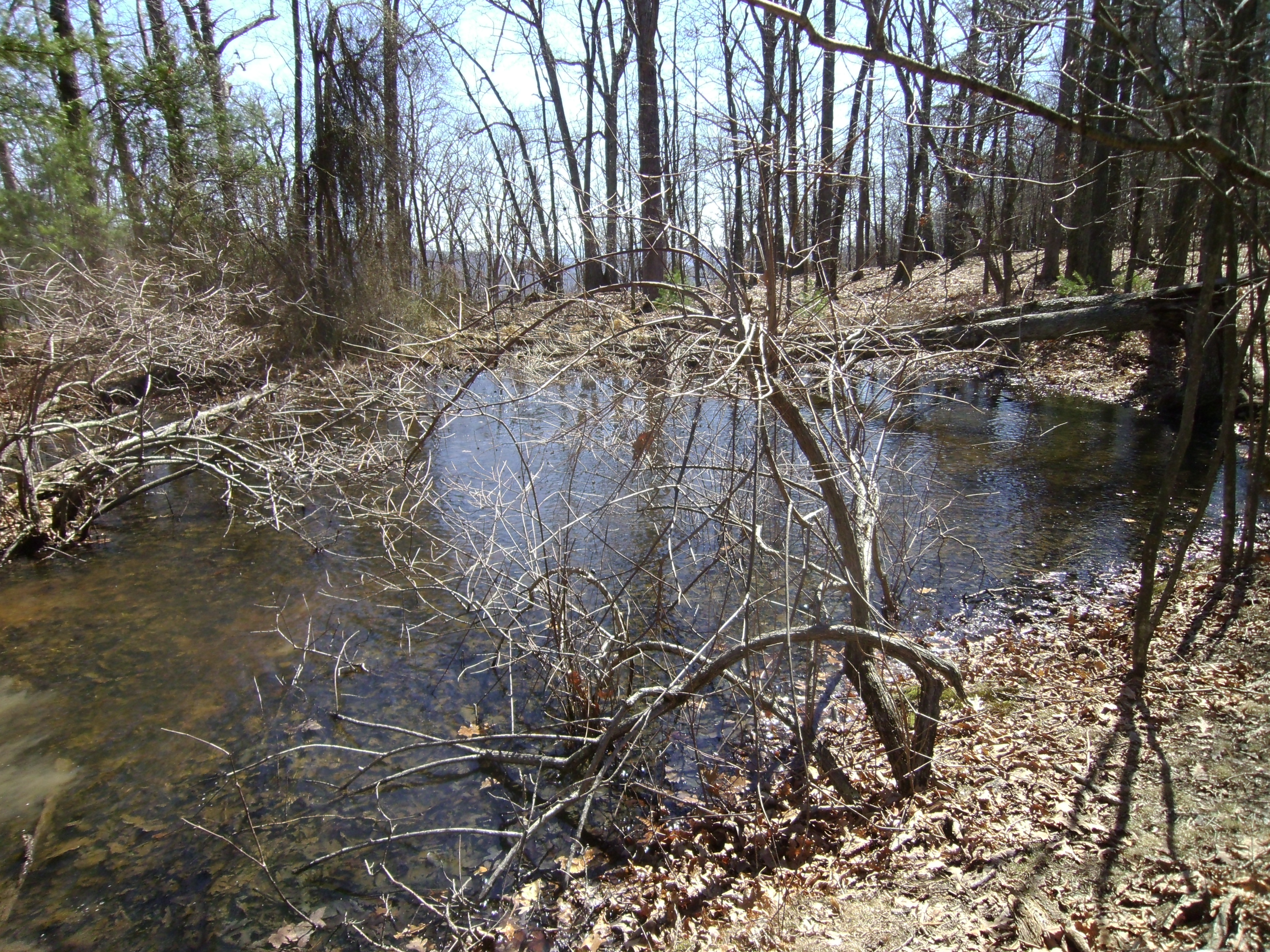
Heading up “Old Man Run” is quite lovely.  There is a creek initially on the left that tinkles along pleasantly.  Not too far along is an unmarked turn to the right.  On the FS map it is 1117D, although there is no marker in the forest.  It crosses down and over a creek and then up a small incline to a split.  To the left is just a camp circle, straight ahead I did take a short ways but it was rather leaf litter deep and a bit inhibitive with fallen branches.  nothing too out of control though.  There was a large boulder in the middle to block vehicles.  I only went a few hundred yards up before deciding to venture else where.

SANYO DIGITAL CAMERA

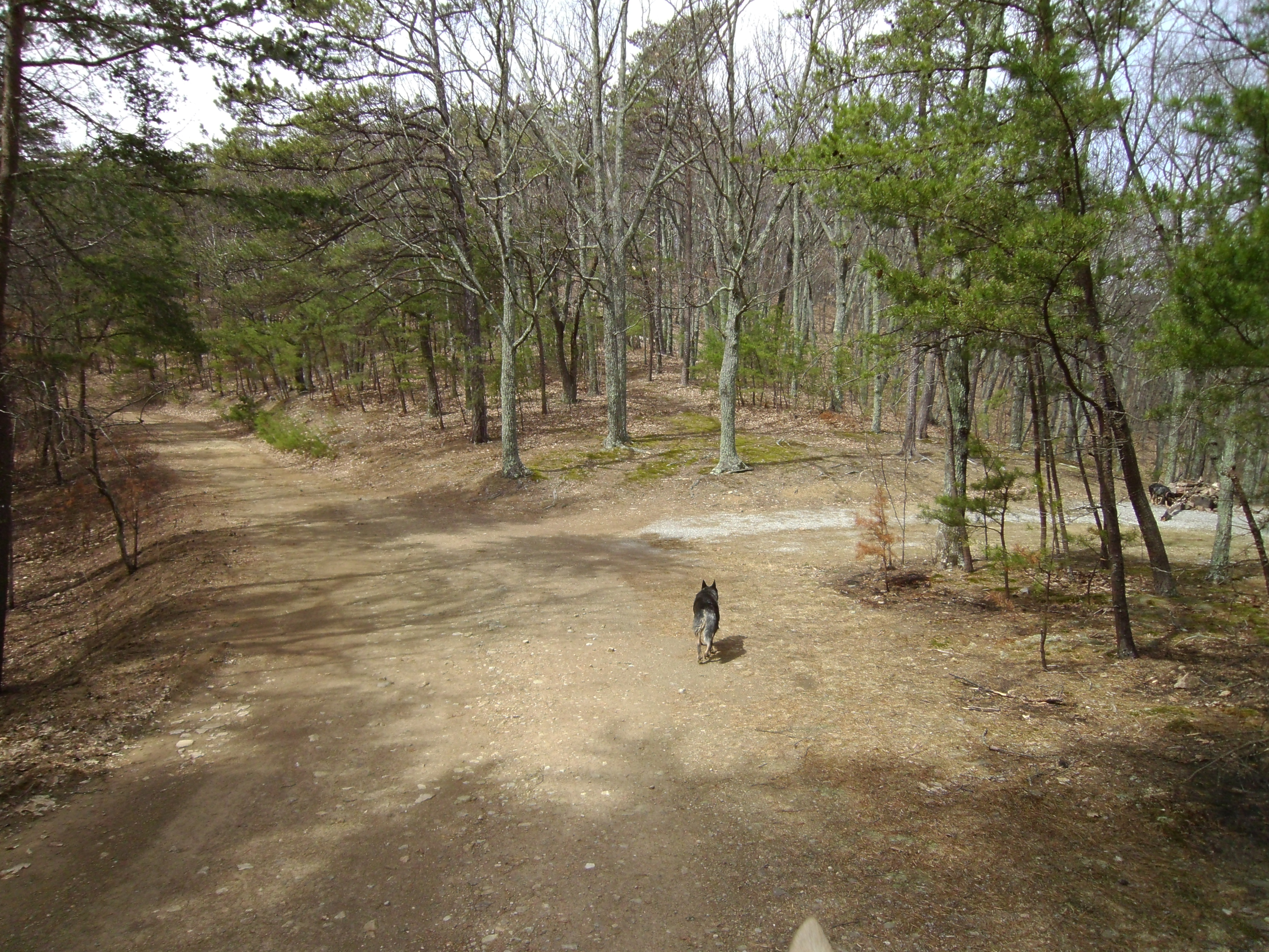
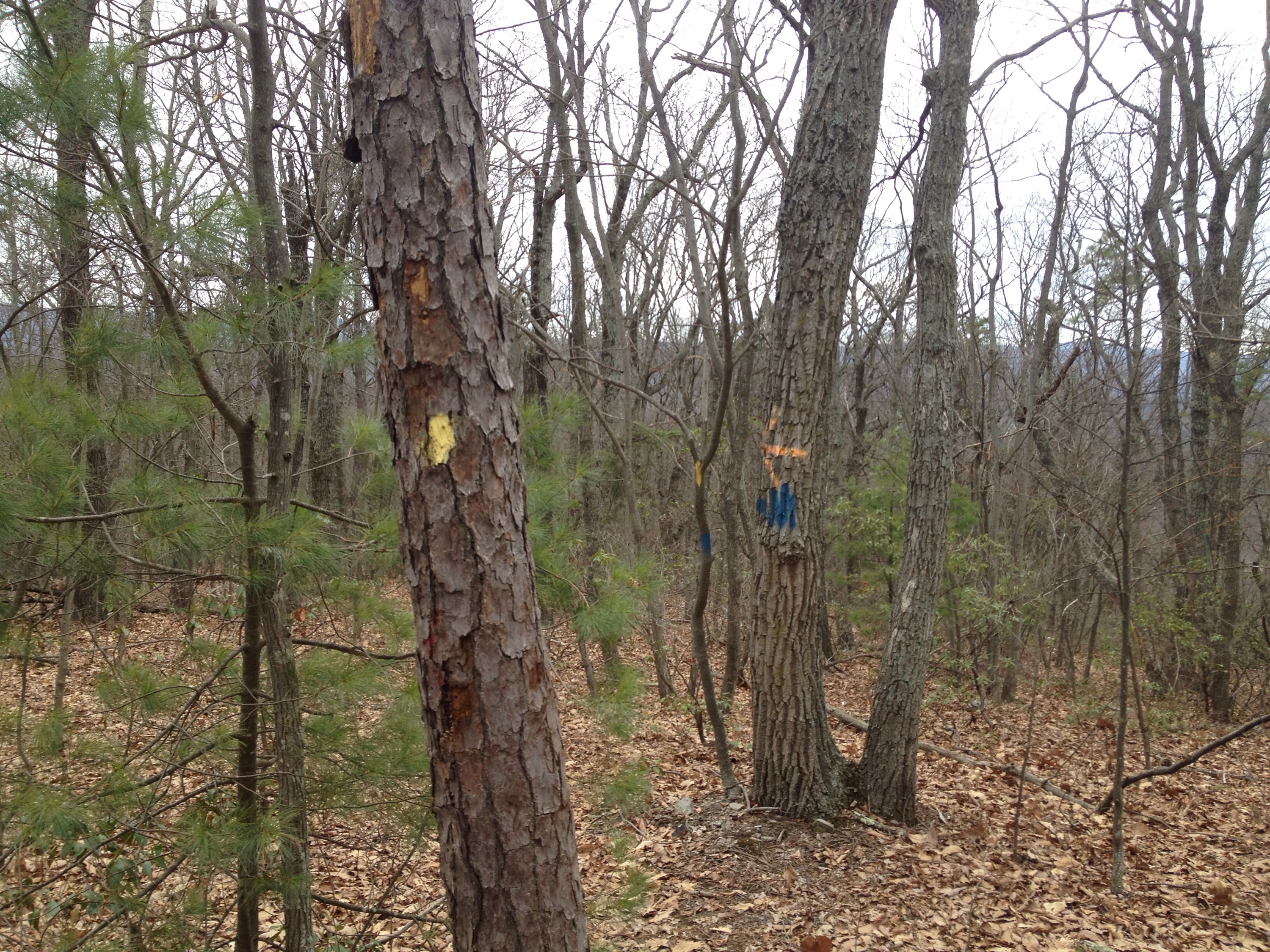
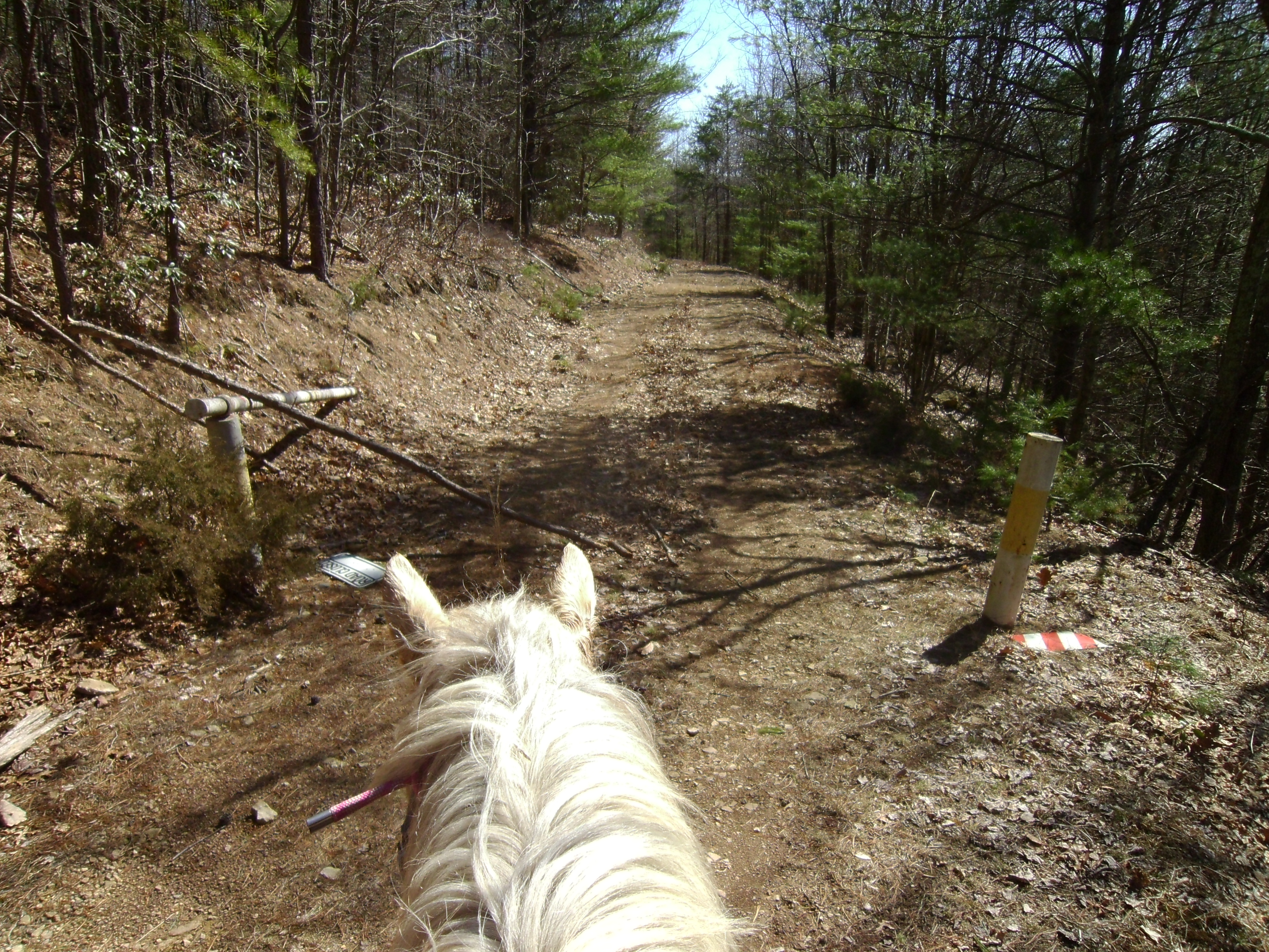
Above is the road branching 1117D to the right.

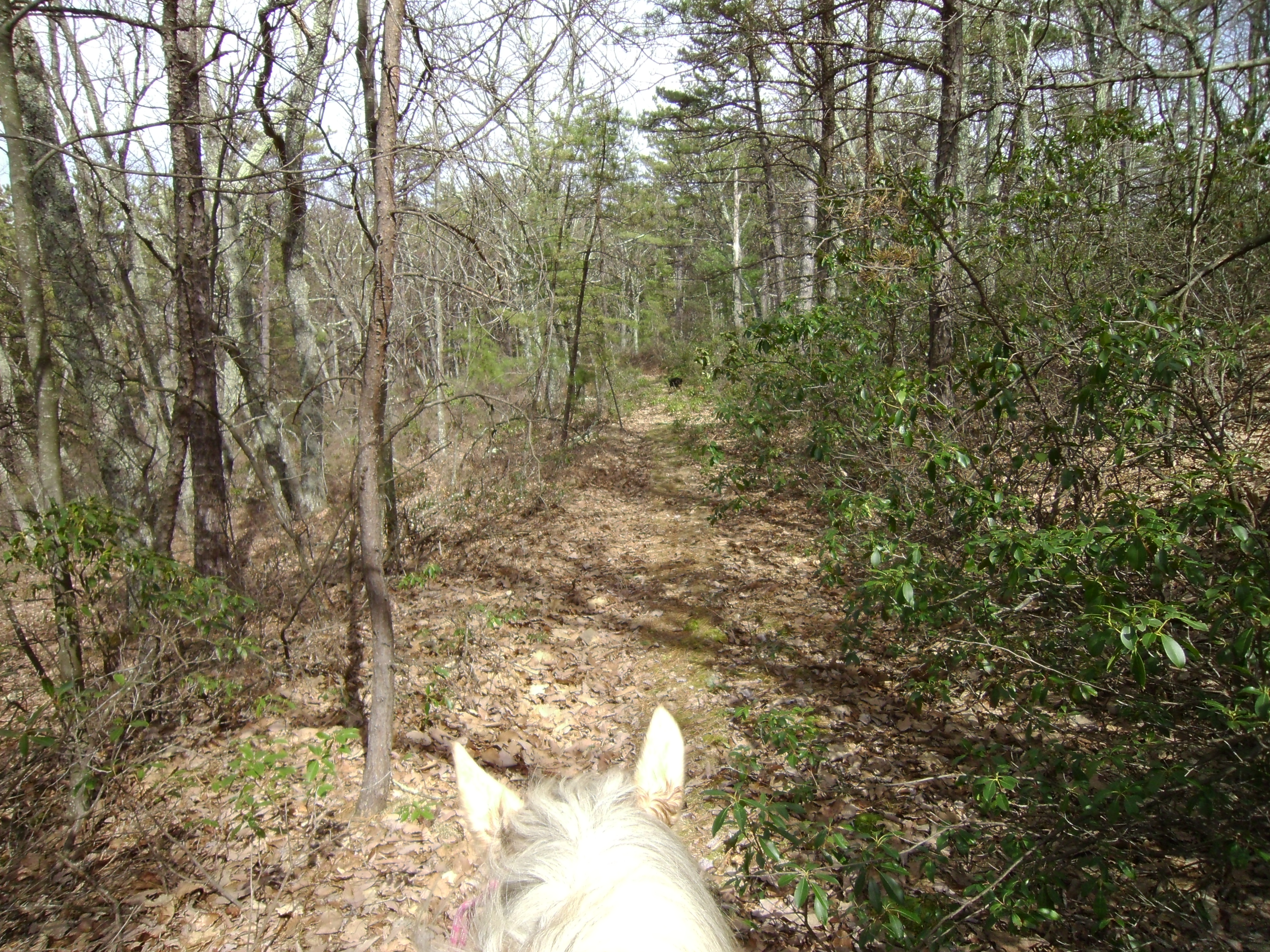
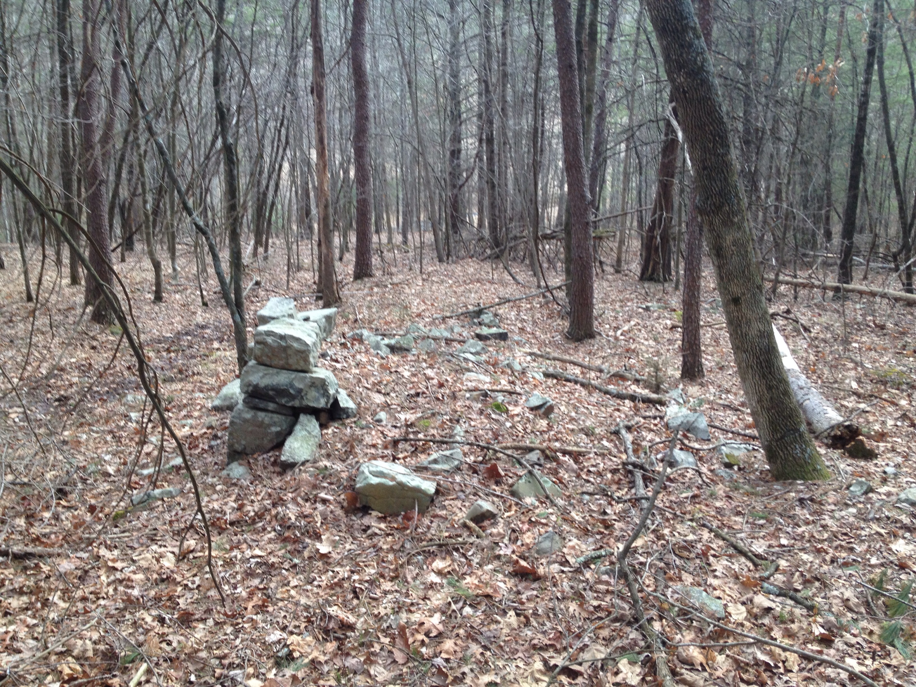
???????????????????? The trail straight ahead.  SANYO DIGITAL CAMERASANYO DIGITAL CAMERA SANYO DIGITAL CAMERA
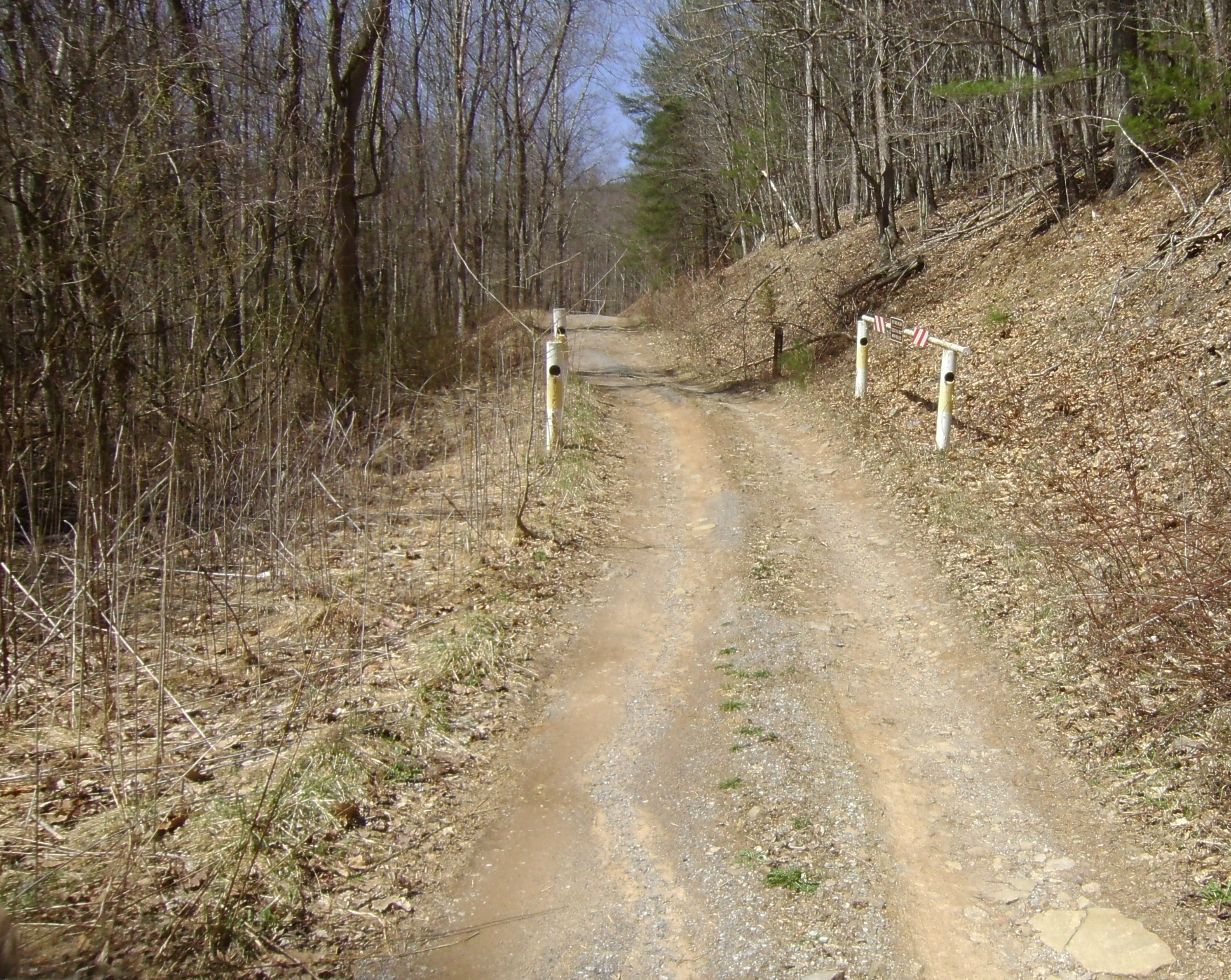
The photo above shows the camp area to the left, the over grown trail straight ahead and you can just see the more dominant trail to the right.

????????????????????

Going right is the main way, clearly used and very well maintained.  A closed fire road gate was just a bit forward from this point.  I headed up it a ways and eventually came to a low fo-fire gate.  I was a bit confused and rode just a bend beyond this gate and realized it was private property with a home off in the distance.  I quickly turned around and headed back to the main fire road.  Should not have been confused.  It was a low red gate.  Red = edge of National Forest.

???????????????????? ???????????????????? SANYO DIGITAL CAMERA 
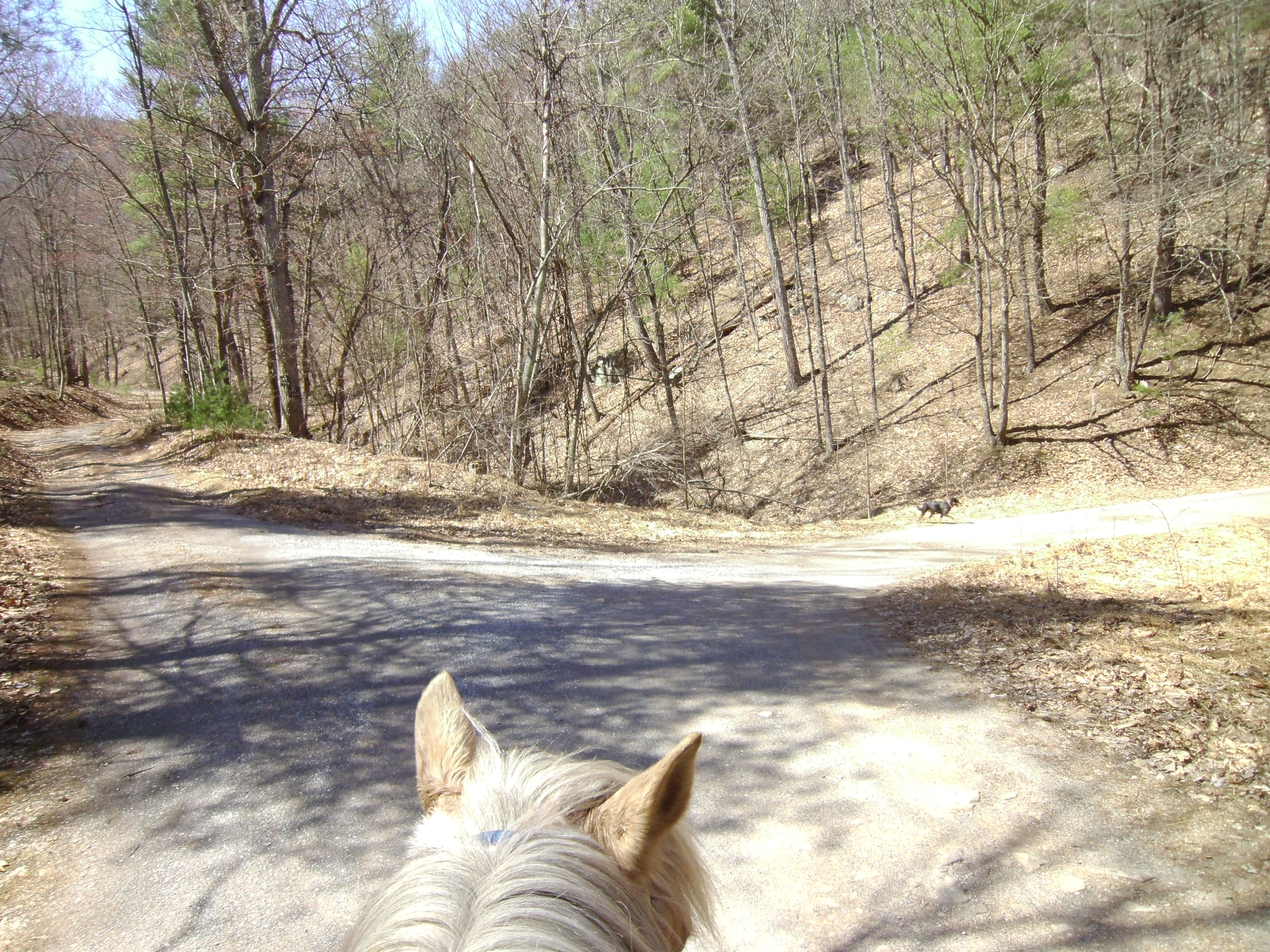
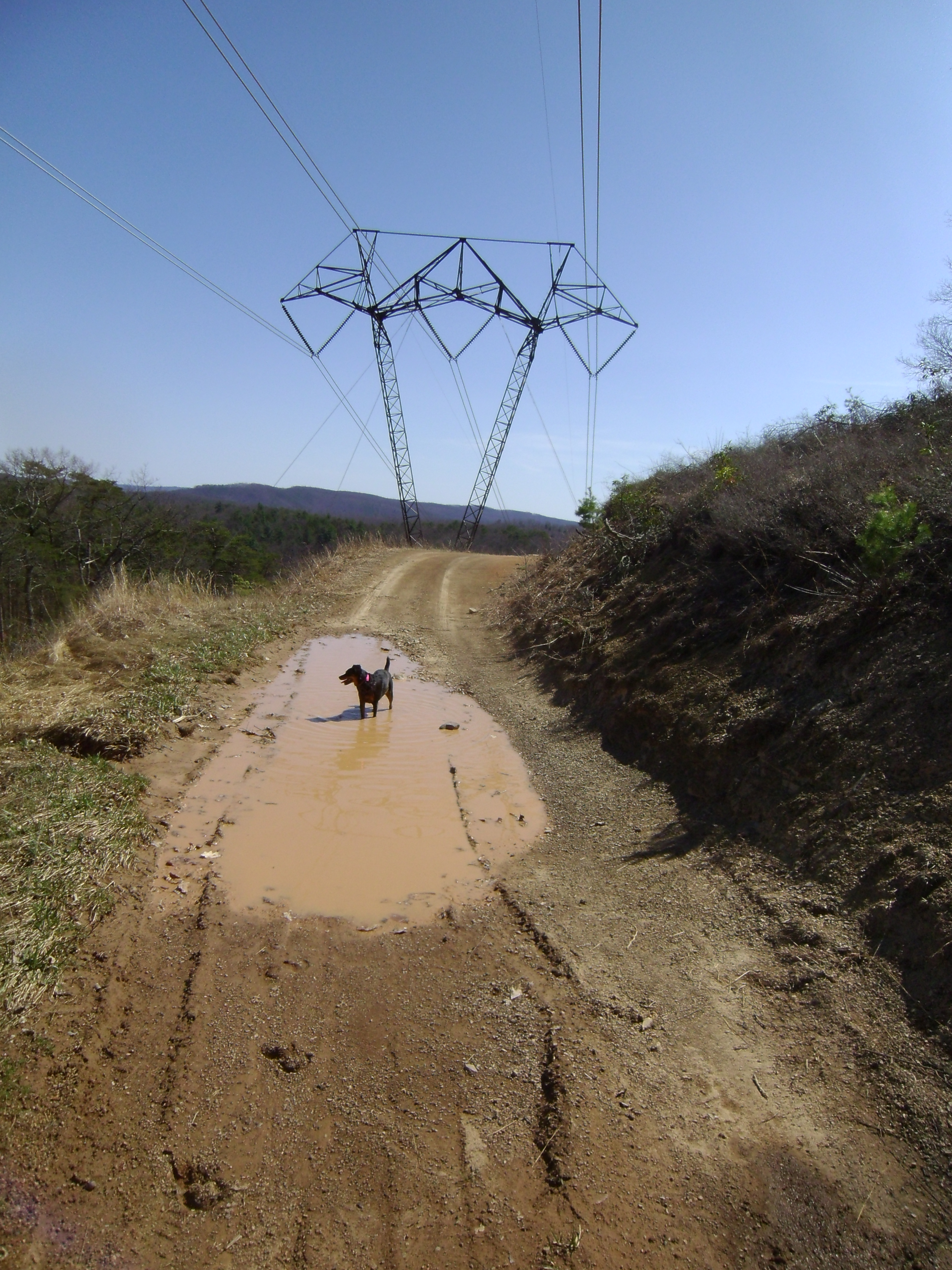
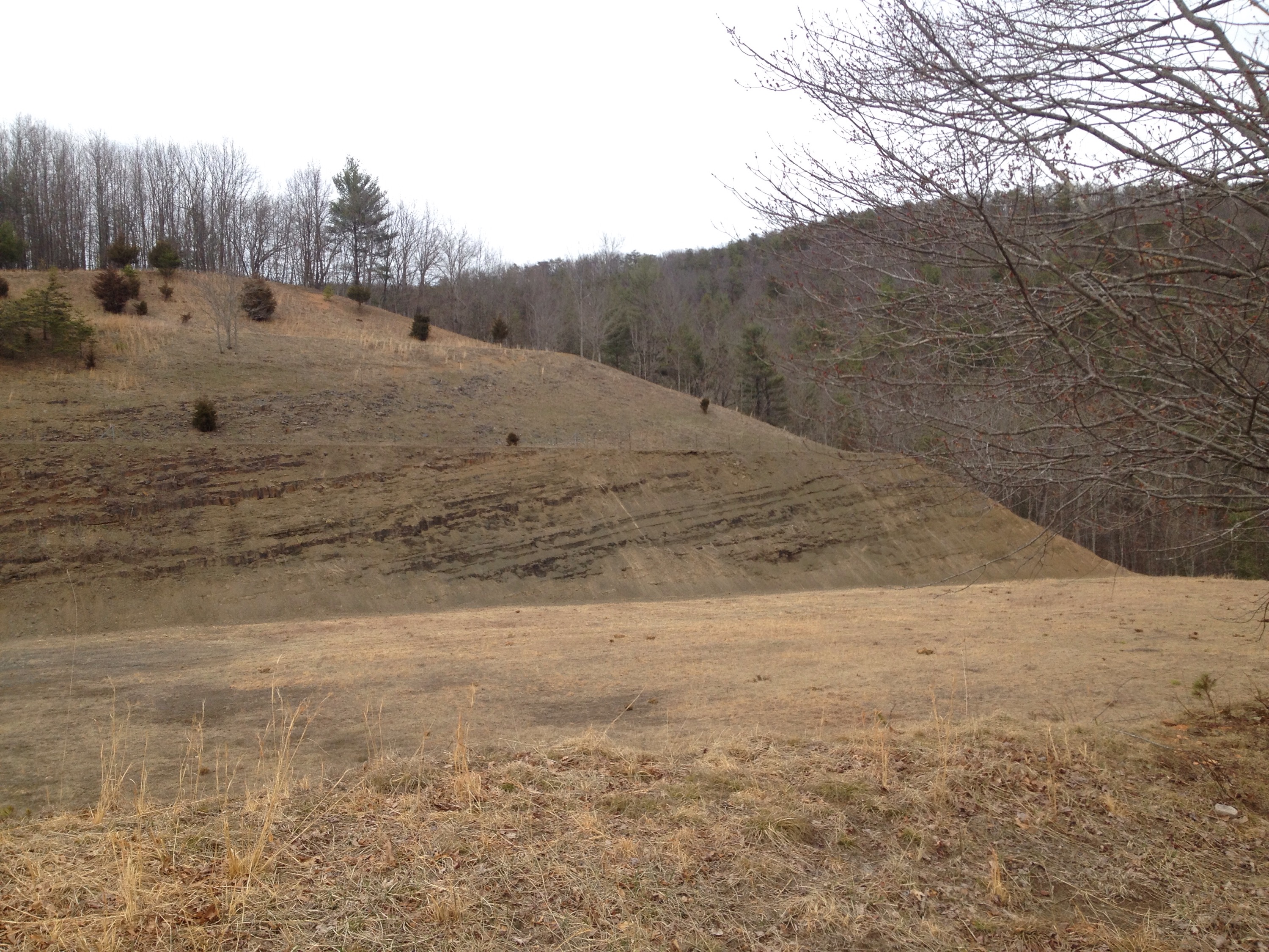
Back to the main road, I continued up.  The road continued to climb for the entire ride.  A bit of a ways up the road split.  Going left (straight) would put me onto 1117A, although I choose to head right, staying on the main 1117.  I rode for a few miles, twisting up and eventually bumping out to the power line towers.  There was a trail that led out under them and there was a moment of vertigo looking down and away.

SANYO DIGITAL CAMERA

???????????????????? SANYO DIGITAL CAMERA SANYO DIGITAL CAMERA SANYO DIGITAL CAMERA

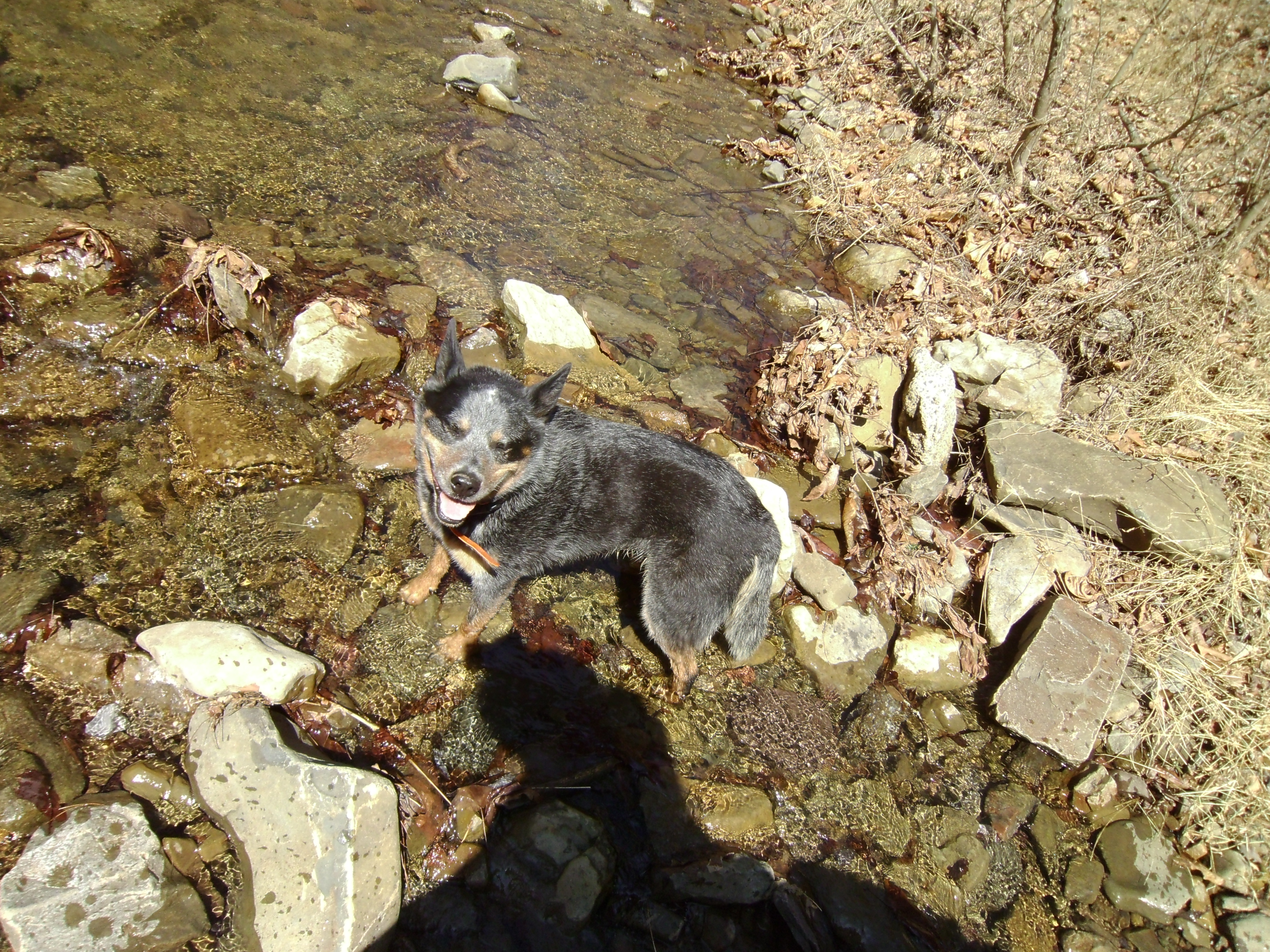
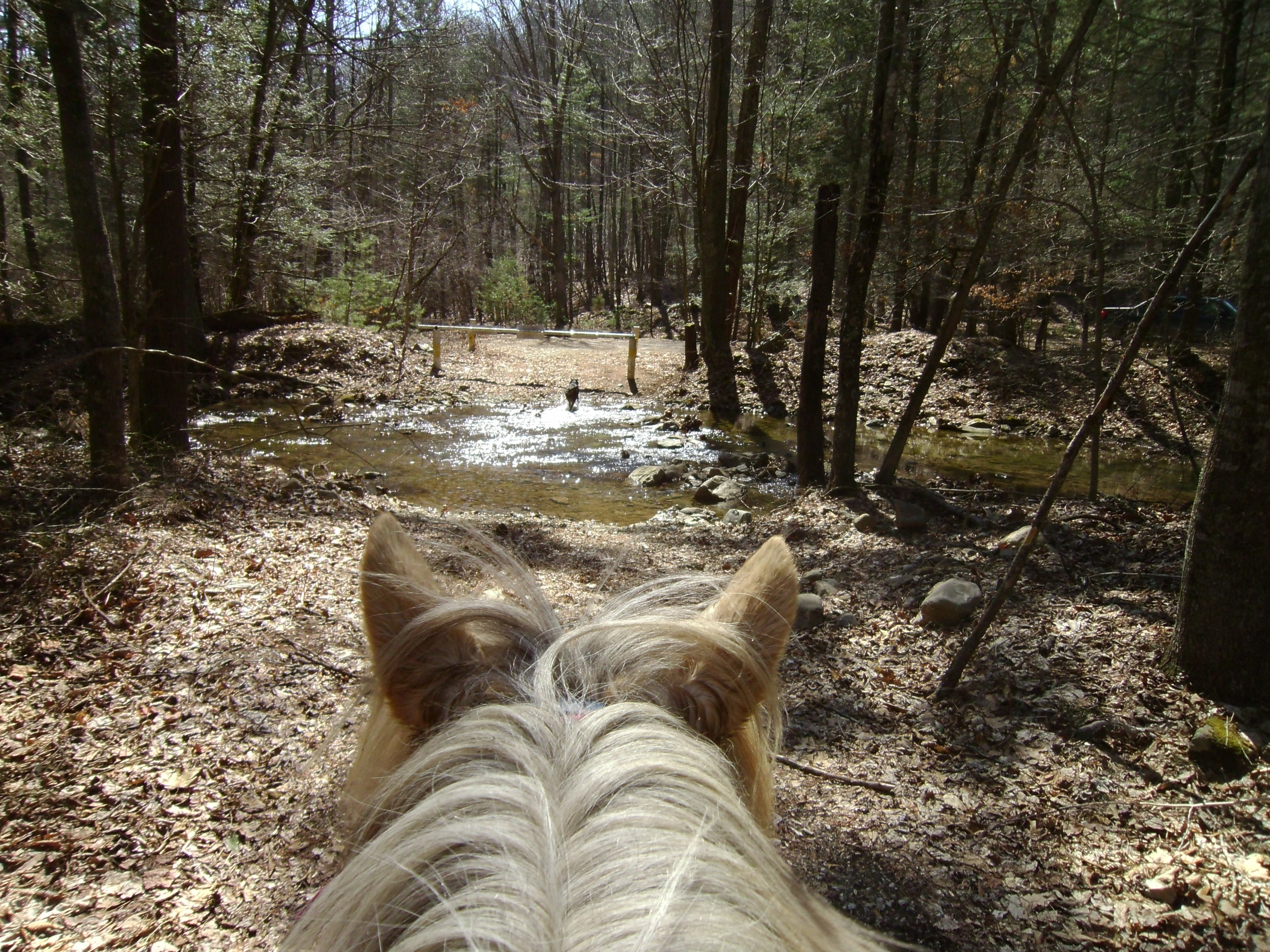
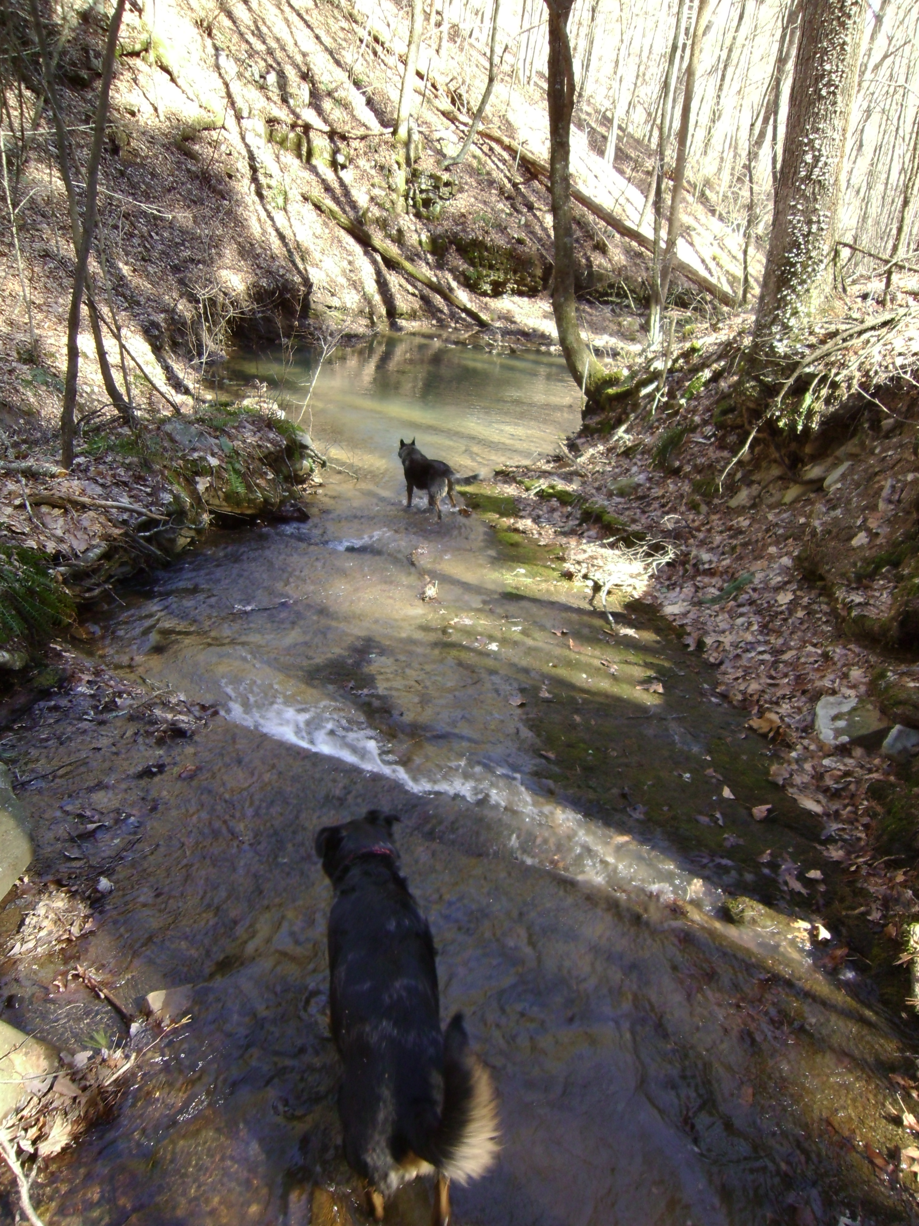
In the above photo you can see the turn that I took the previous photo of the towers from.  If you look read close you can see the puddle that Daisy is standing in.  I turned around for that photo.

And in this photo below, you can see the second house in that clearing off in the distance at the end of 1117D.

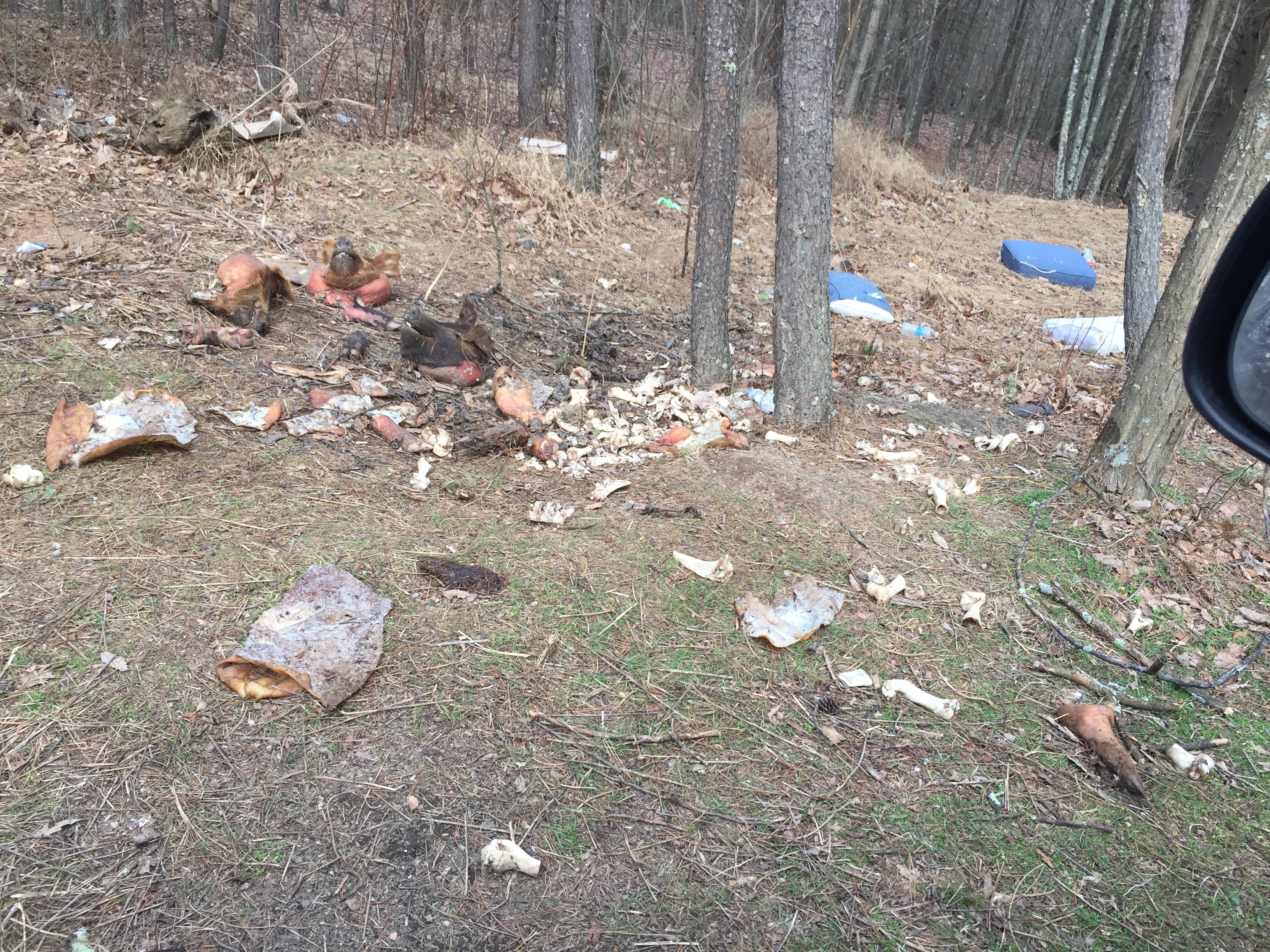
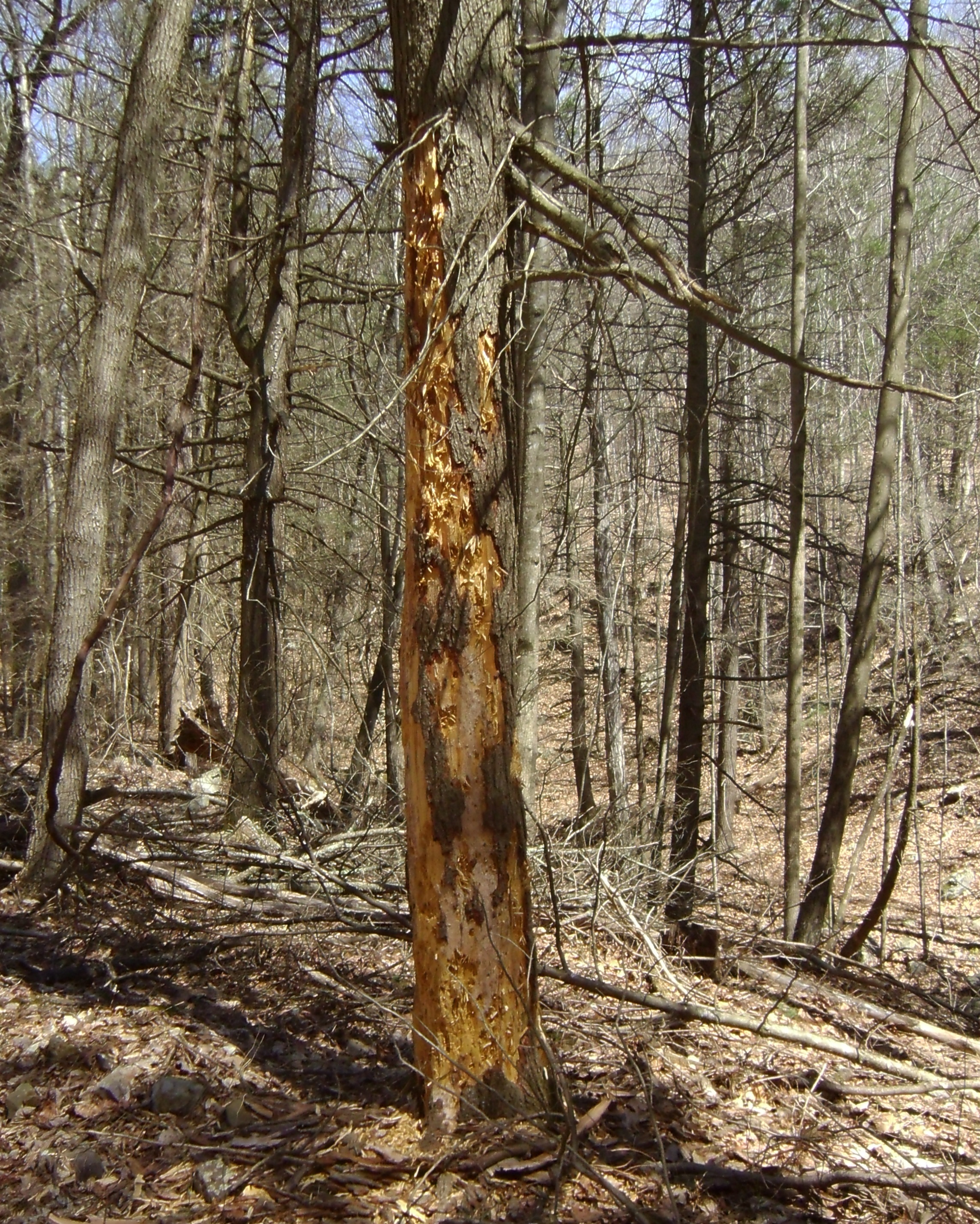
I continued on and eventually came to a private gate to the right (a real gate, not a fire road bar).  Next to it was a large stone fire pit and a trail/ATV path directly to the left.  I realized I had lost my camera along the way and decided that it was time to call it.  So I turned around and headed down.  *I did find my camera intact just a little ways back.

SANYO DIGITAL CAMERA SANYO DIGITAL CAMERA

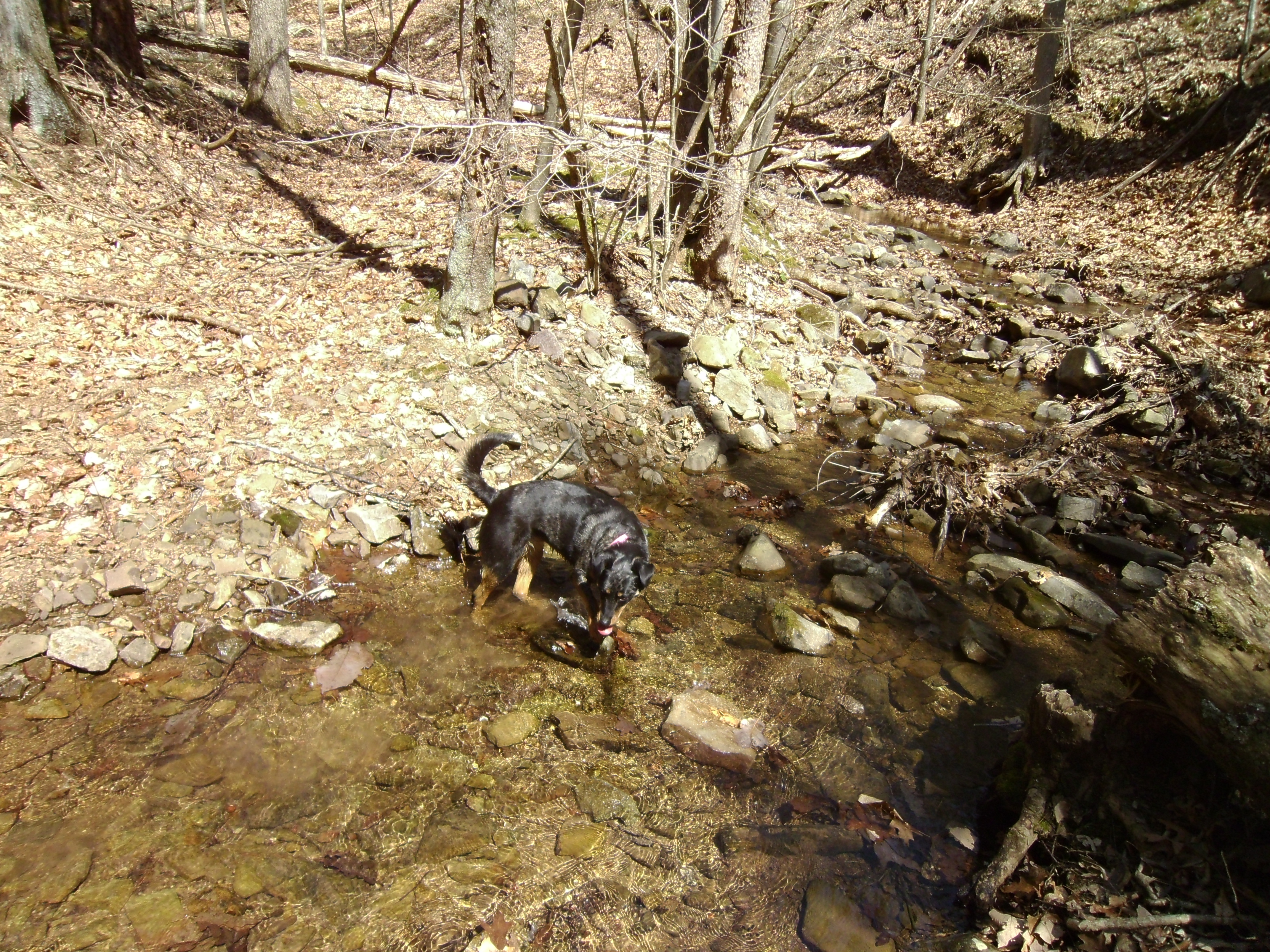
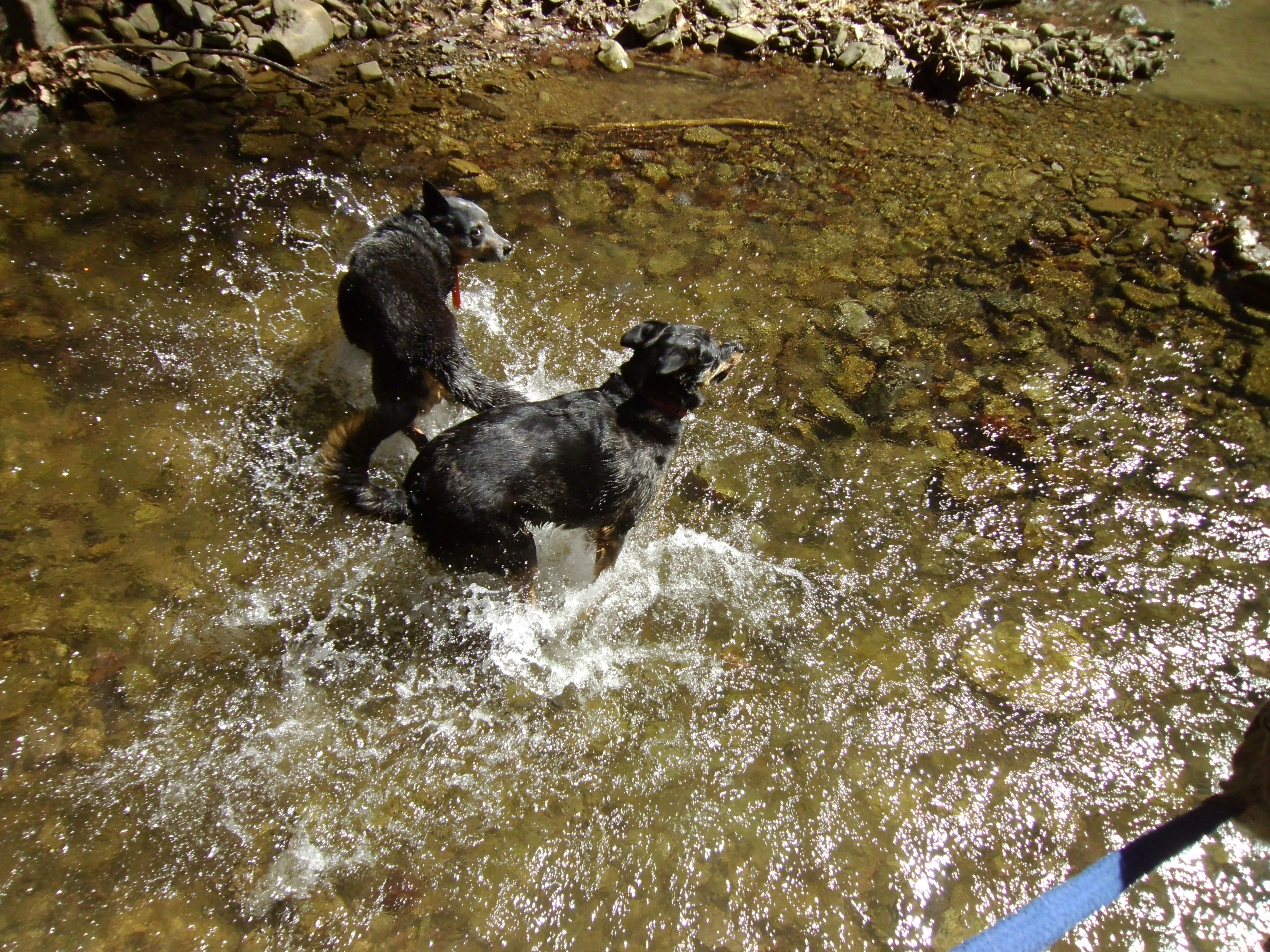
Of all the nice big deep puddles, I only found one that had eggs.  I presume frog eggs.

SANYO DIGITAL CAMERA SANYO DIGITAL CAMERA SANYO DIGITAL CAMERA

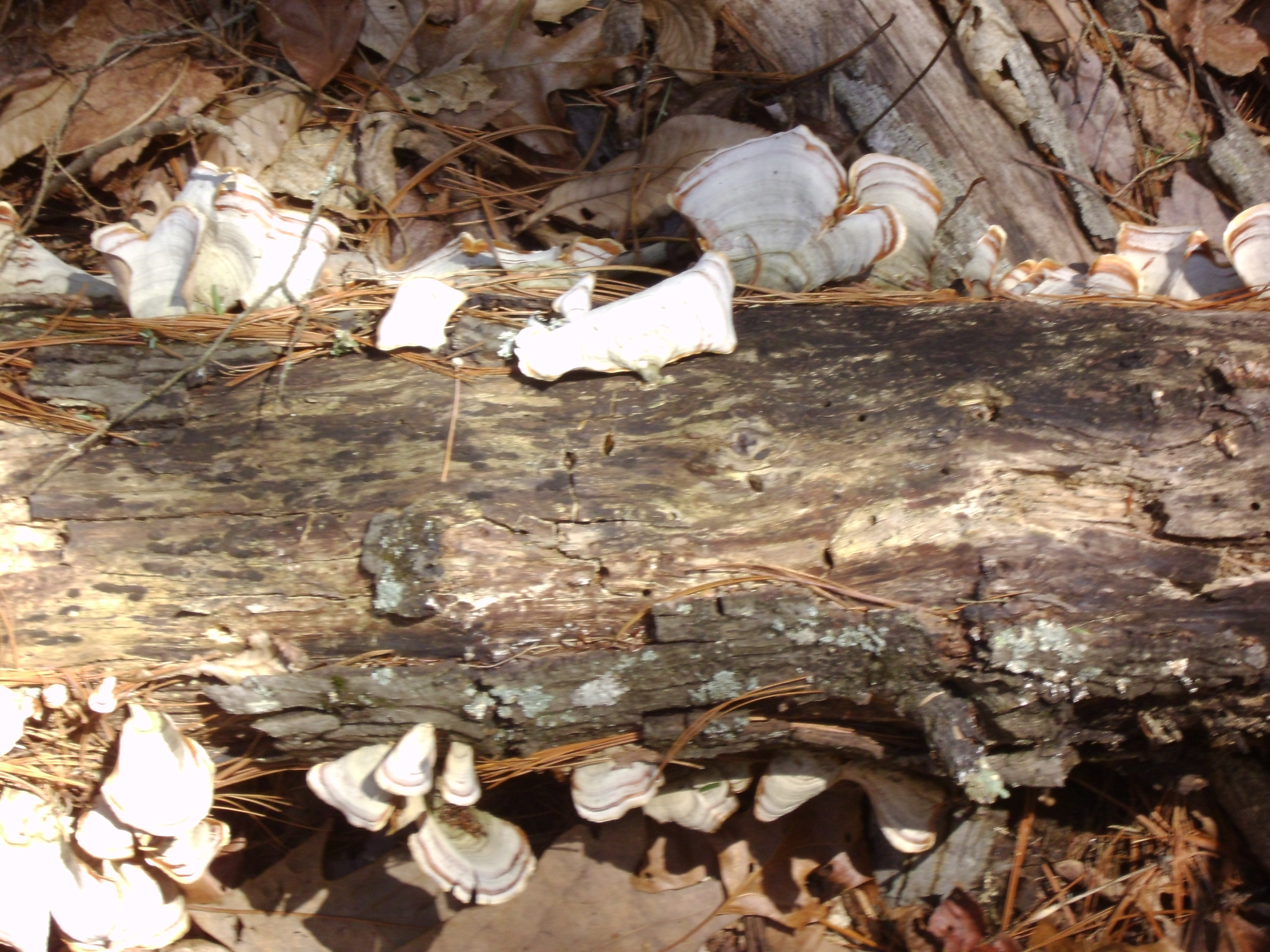
And finally, just before reaching the trailer I noticed mushrooms growing on the top of the trail marker.

????????????????????

There is still a lot to be explored back at this trail head.  I am looking forward to the next time I can get out!

Trail Report – Yankeetown and Turner Run

March

Two rides in two days in one report.

Saturday – Yankeetown, Marshall Run, 235

This loop is about 12 miles with plenty of creek crossings.  I ran into Gale and Dale when I got back to the trailer.  They were just ahead of me on the loop.  I also ran into some hikers.  These are the community serving guys that cleared the trail over the winter.  I wish I had some beer in my saddle bags to cheers them with.  Simon and I completed out ride in about two hours (my tracker cut out about mid ride).

4

SANYO DIGITAL CAMERA

SANYO DIGITAL CAMERA

SANYO DIGITAL CAMERA

SANYO DIGITAL CAMERA

????????????????????

SANYO DIGITAL CAMERA

The dogs went for a few swims when crossing some of the creeks and Simon even waded out to his belly.   SANYO DIGITAL CAMERA

SANYO DIGITAL CAMERA

SANYO DIGITAL CAMERA

Sunday – Turner Run, 423

This ride was about 13 miles and mostly fire road.

2

I wanted to check out the fire road father along, and also two trails marked on my mapping app that were not on my forest service map.   On the map image above I also marked the second fire road on the left (which has a gate) and roughly the trail I took on Thursday down to Slate Lick Lake and back.  I also marked the start of a second trail on the left, just past the one from Thursday.  It is right about where the forest shows signs of recovery from a forest fire and tracks straight down the slightly sloping terrain.  It is very pounced and hard to miss.  On the return trip the rocks along it showed white from a distance, catching the eye.  I am eager to try this trail out.

3

Ash was very excited for this ride.

SANYO DIGITAL CAMERA

There is a camp circle to the right that has a large fire pit in it.  This is where the trail that rides closer to the road starts.  This trail rides up and quickly spills out on fire road 423A.

If picking up the trail on the return, from fire road 423A, it splits.  The left branch runs father out and cuts back to the main fire road father along, as marked on the map above.  This trail was a bit over grown, more so just before dumping back out on the fire road.  I won’t bother to ride it again.

Both of these two trails were marked on my tracking app, but not the actual fire road map.  The left split is clearly an old logging road or fire road.  The right split had an old fire road gate post on it, and appears recently used.

SANYO DIGITAL CAMERA

This tree was down across the road just after the turn off for fire road 423A, which is on the right and angles back.  There was another tree down just a little ways past this one as well.  A large field opens just beyond it to the left.

SANYO DIGITAL CAMERA

????????????????????

SANYO DIGITAL CAMERA

Fire road 423A is recently used and ends cleanly at a gate to private property.  Time to turn around.

SANYO DIGITAL CAMERA

Above is a photo of the right split of the trail from 423A headed back towards home.

SANYO DIGITAL CAMERA

The above is a photo of the left split of the trail from 423A headed back towards home.

????????????????????

The above is the trail head for the trail I want to check out soon.  It heads off in the direction of Slate Lick Lake.


Trail Report – Turner Run to Slate Lick Lake 

March 24, 2015

For this ride I started off on fire road 423 at Turner Run.  I rode out, and just past the second fire road turn on the left.  Just up a small incline in the road from that turn is a turn off for parking/camping with a bit of fresh gravel at the entrance.  In the back of this parking area is a small berm that starts off a well marked and heavily used trail.  There were a lot of hoof prints and pony poo and it was more heavily marked with different colored paint and marking tape as the trail continued.

IMG_4929

I rode down and back, making it a 15 mile ride in about 2 1/2 hours.

IMG_4930

IMG_4931

IMG_4920

There were often arrows marking harder turns in the trail.

IMG_4917

IMG_4913

IMG_4927

IMG_4928

Eventually the trail popped out below Slate Lick Lake.

On the same side of the lake, if turning to the right and proceeding over the stone wall and up the large hill, several other markers could be seen showing the start of other trails.  I was at my “point of no return” and did not want to risk checking these trails out but I suspect one will lead back to the fire road I started from.  It is also quite possible that these markers and what appears to be more than one trail head all converge into one trail.  Ill have to explore more in the near future.

IMG_4925

We saw some geese down at the lake and a red tailed hawk on on the fire road.

IMG_4924

IMG_4923

IMG_4921


Trail Report – Blue Hole 302 Grove Hollow

March 17, 2015

image1

You have to cross 4 cattle guards to get all the way back to the trail head.   Fire road 302A leads up to a handicapped hunting area. The two cattle guards on the road before this turn are easy to navigate a pony around.  If you continue straight past 302A and directly over a cattle guard, and eventually a second one, you will come to a good parking area for the main part of 302.  There is a gate just a bit past the second of these guards and parking areas.  Both of these guards are not possible to ride around, at least not that I can see.  There is room for a couple trailers to park as long as everyone is mindful of the others need to turn around (or pull through).

map203

Sunday morning Rich and I drove out to Blue Hole to check the road conditions for trailering in.  It tends to flood and also stay snowy and icy later than other areas and I didn’t want to get stuck on the one lane road in.  Everything looked good.  Just a little snow by the parking areas, one of which was pretty muddy, but the other was just fine.

I arrived at the area about two hours later with pony in tow and began the drive back into the National Forest.  Since we had checked the road that morning a tree had blown down across the road.  Uh oh.  Not to be thwarted I put the truck in park and went to bust up some wood.  Not to exaggerate my (wo-)manliness, the tree was small and it was so dried out that most of it had busted up on impact.  I cleared the pieces away and was able to rotate the rest of the trunk off the road.  The picture below is an “after” clearing shot.  Go me.

IMG_4877

Tree removal done, I finished the drive in, parked, mounted up and headed out.

????????????????????

They are logging the area so the initial fire road in is very well maintained, and has fresh gravel on it.  There is also a new logging road that shoots off to the right a little ways in.

SANYO DIGITAL CAMERA

I noticed a lot of hoof prints (and poo) at the start, almost all headed up the fire road like me.  I saw very few headed back down.  Not too far along two very fresh sets of tracks headed off left to the side of the road and down the hill onto marked “Private Property”.  It had the feel of a loop, and no tracks came back up.  But being private property I moved on.

SANYO DIGITAL CAMERA

Most of the tracks eventually disappeared, and I found I was on the same path as one set of rather fresh tracks.  I made a left onto the first real and pronounced fire road turn.  There had been a few other turns and small trails that I would like to explore, but I wanted to make some distance and see the over all layout to start out with this new-to-me area.  Plus I really wanted to know where these one way tracks went.

SANYO DIGITAL CAMERA

There were a couple turns on this road as well, some probably old logging roads.  There were also quite a few camp areas on the sides, and even one in the middle of the road.

SANYO DIGITAL CAMERA

????????????????????

We found a mineral salt lick near one camp area. and quite a few old piles of tree tubes left behind.

SANYO DIGITAL CAMERA

At one of the large clear areas the fire road branched down to the left, straight, and there was a trail that branched up to the right.  Unfortunately this area was heavy in grass and leaves and I could not determine which direction the other horse tracks went.  I decided to continue straight.  Eventually it became clear that the other tracks did not go straight.

It was an extremely windy day, but both dogs and Simon started to alert around the same time I began to hear a noise loud enough to be distinguished over the wind.  At first I thought it must be a large flock of birds nearby, but then I realized it was spring peepers.  Sure enough, there was a pond off to the left.  Mixed with the wind they almost sounded like a whole flock of hens clucking about.

SANYO DIGITAL CAMERA

SANYO DIGITAL CAMERAThis seemed like a good time to turn around and head back.  I figure the other horse had taken the first road down to the left.  When I got back and looked at my GPS tracking vs the forest map, I suspect this is a loop of sorts and I am eager to check it out in the near future.

????????????????????

Behind the parking area is a trail that runs back along the creek.  I followed quite a few set of fresh horse tracks back a ways, and crisscrossed the creek a few times before I decided Simon and I had enough for the day.  There were a few large logs down that Simon was just tall enough to maneuver over.  He is quite the little tank.

I am really interested to explore this area a lot more.  I put a post up on a local Facebook equestrian group in hopes of finding someone that rides back there that can give me some insight on the possibility of a loop.   I was also pretty pleased with Simon and myself doing a good 16 mile ride.  I don’t think either of us were too worn out at the end.