Trail Report – Slate Lick, short loop 230, 5/25/15

May 26, 2015

Memorial Day Monday I decided to go for a short ride at Slate Lick.  the next two weeks are going to be extremely busy so I thought I should get in a ride while I still had time.  I was feeling very laid back, and so was Simon, so we walked a good portion of the ride.  It was perfect weather and I thoroughly enjoyed it.

IMG_5587

I plan to give his loop a go in the somewhat near future, and strap the tracker to Daisy, so I can compare my mileage to hers.  It should be pretty interesting.

For this ride I parked in the usual field that horse trailers parked.  There were two already parked there when I arrived.  I headed down the fire road, and took the right hand split to Slate Lick Run, past the closed gate, and the lake and into the woods.

SANYO DIGITAL CAMERA

SANYO DIGITAL CAMERA


SANYO DIGITAL CAMERA

SANYO DIGITAL CAMERA


SANYO DIGITAL CAMERA

SANYO DIGITAL CAMERA


SANYO DIGITAL CAMERA

SANYO DIGITAL CAMERA

I saw these puddles full of tad poles.

SANYO DIGITAL CAMERA

SANYO DIGITAL CAMERA

 
I let the dogs go for a quick swim at the end of the lake.  There were a lot of butterflies out and about too.
SANYO DIGITAL CAMERA

SANYO DIGITAL CAMERA

SANYO DIGITAL CAMERA

SANYO DIGITAL CAMERA

Into the woods and following the well worn and marked path, I crossed the creek beds and saw a snake.

SANYO DIGITAL CAMERA

SANYO DIGITAL CAMERA


SANYO DIGITAL CAMERA

SANYO DIGITAL CAMERA

Eventually I came to the turn up hill to the right to take the short loop.  I took it.  Simon climbed the hill, Daisy bounced ahead.  At the top we came to one of the peanut butter jar message bottles.  I love these things.  There were only a few messages, and I noticed that the dates were sort of spread out.  This trail gets a lot of traffic and I figured the book would be full. nope.  I added an entry.

SANYO DIGITAL CAMERA

SANYO DIGITAL CAMERA


SANYO DIGITAL CAMERA

SANYO DIGITAL CAMERA

This is also the point where the long loop meets up.  On we went through the woods, enjoying the breeze.

Nothing special but a very pleasant ride.

SANYO DIGITAL CAMERA

SANYO DIGITAL CAMERA


SANYO DIGITAL CAMERA

SANYO DIGITAL CAMERA


SANYO DIGITAL CAMERA

SANYO DIGITAL CAMERA


SANYO DIGITAL CAMERA

SANYO DIGITAL CAMERA

Trail Report: 1117 Old Man Run – Little Dry River Road – to the left.

May 11, 2015

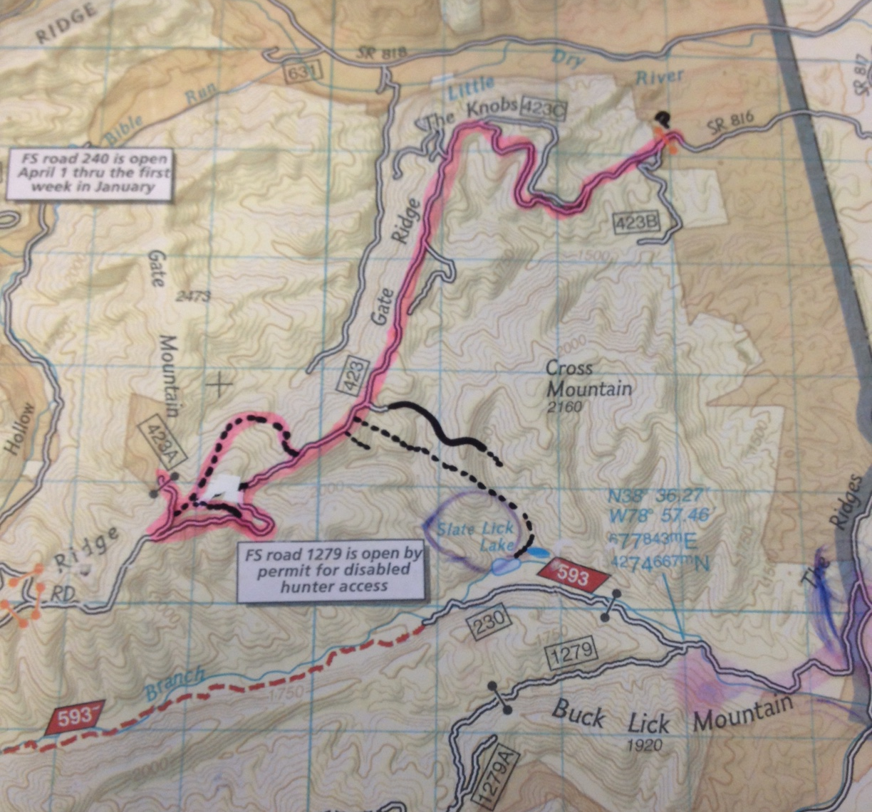
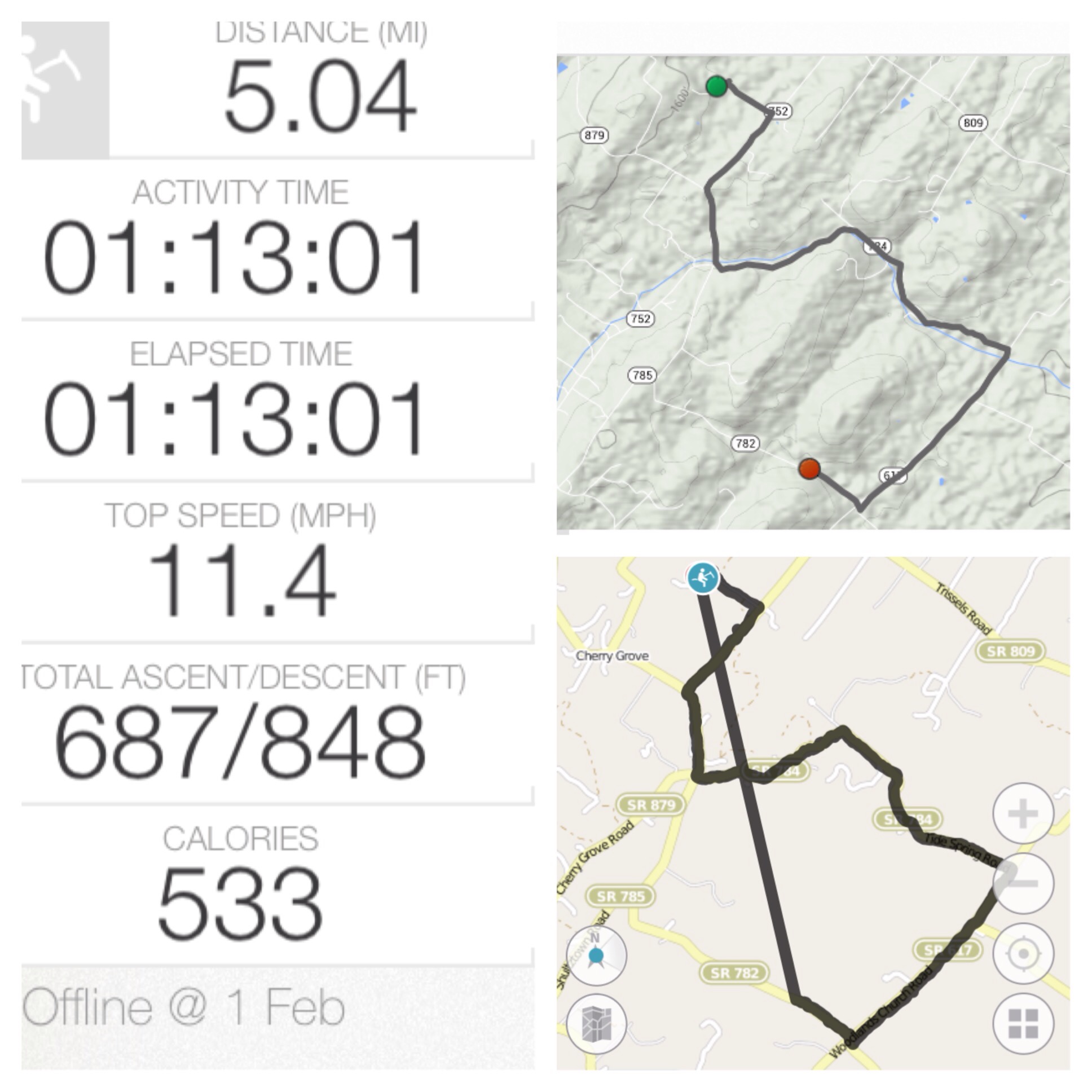
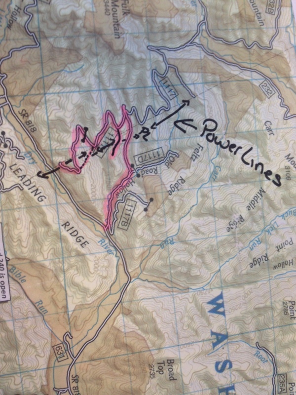
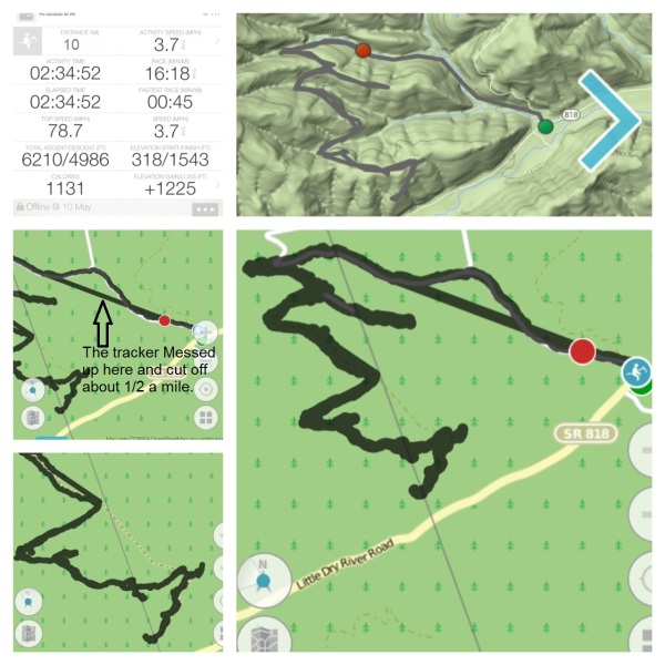
**The power line black line I drew onto the map is not exact, and the trail crosses the line much more frequently than I make it appear. But it gives you an idea.

IMG_5475 map

SANYO DIGITAL CAMERA

SANYO DIGITAL CAMERA

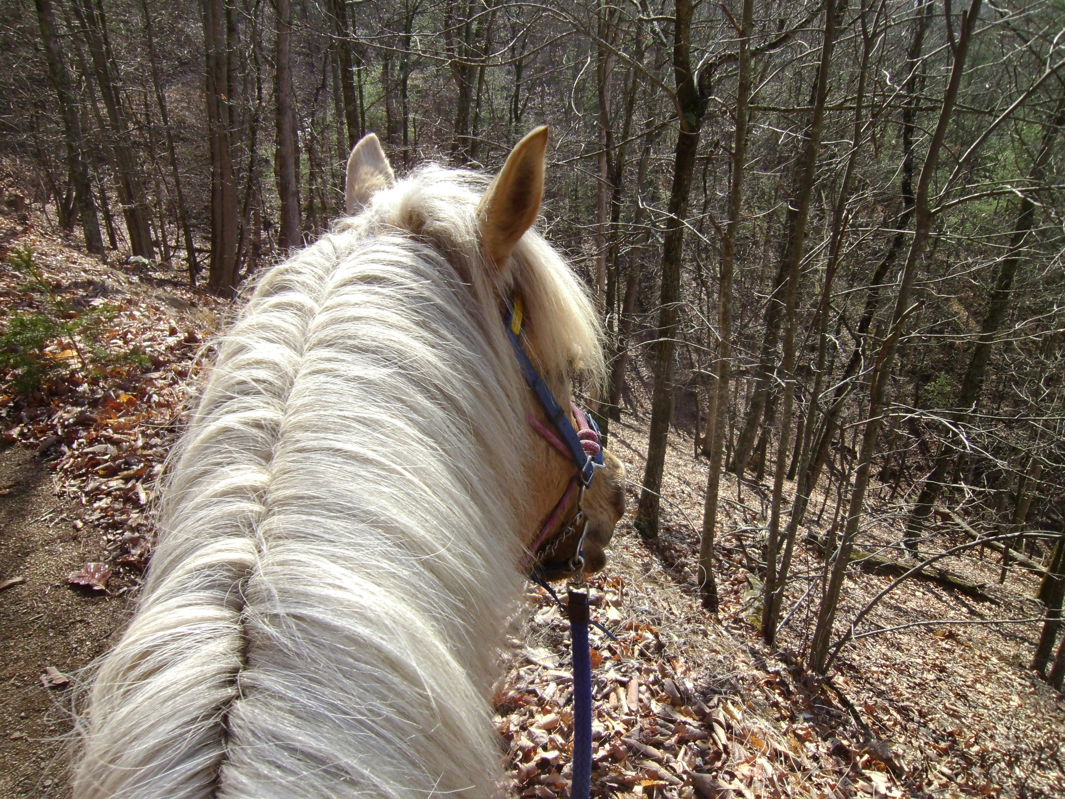
Sundays are for the woods.

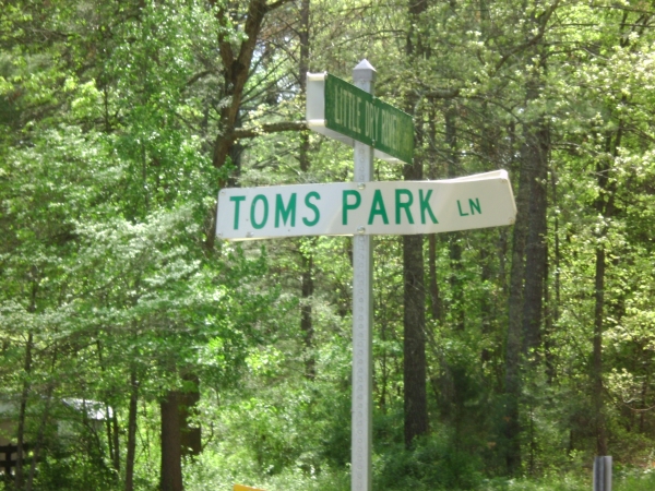
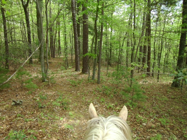
Yesterday I went back to Old Man Run 1117 off of Little Dry River Rd. Last time I went to this trail head I explored the right branch. This time I explored the left.

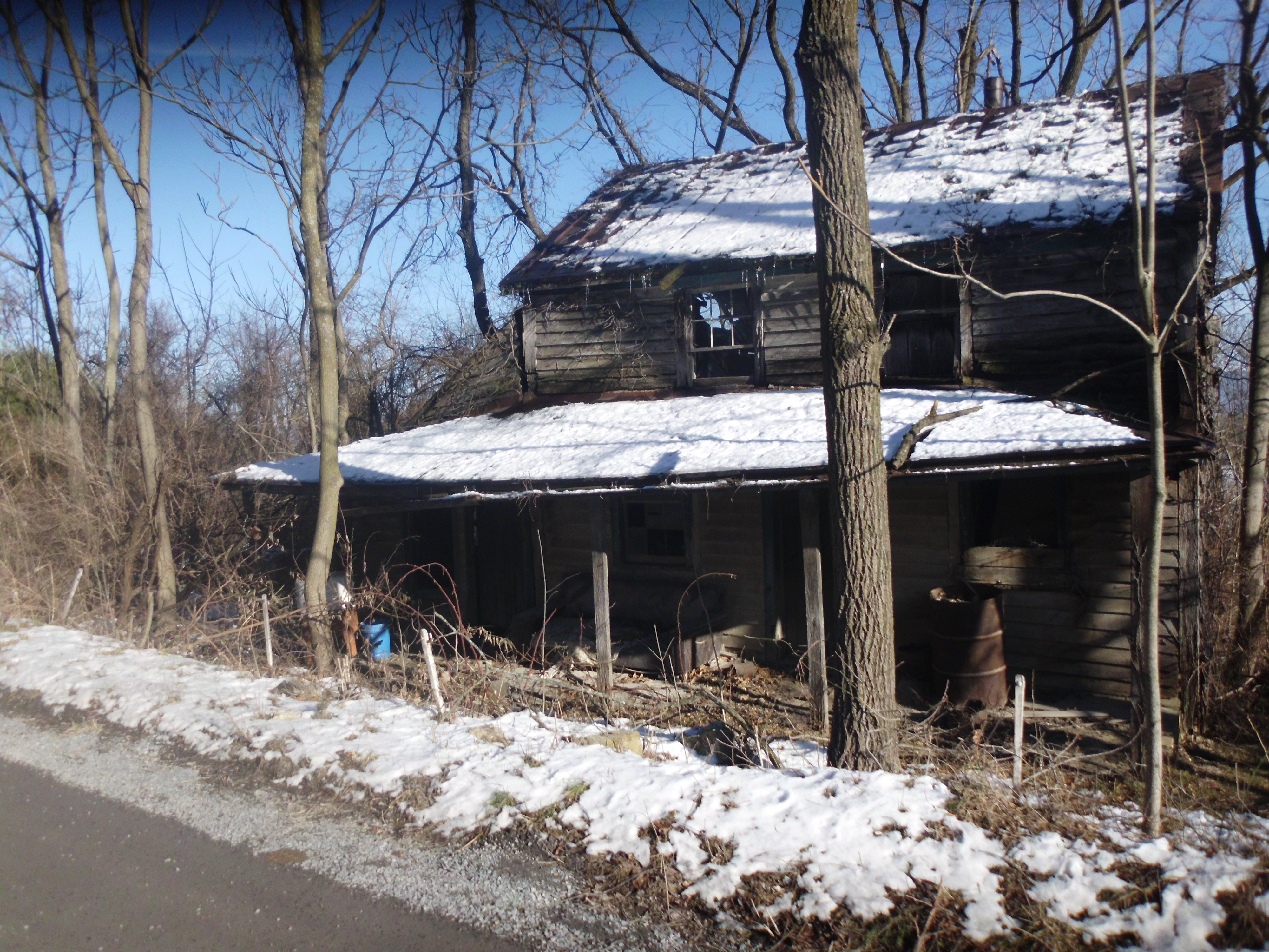
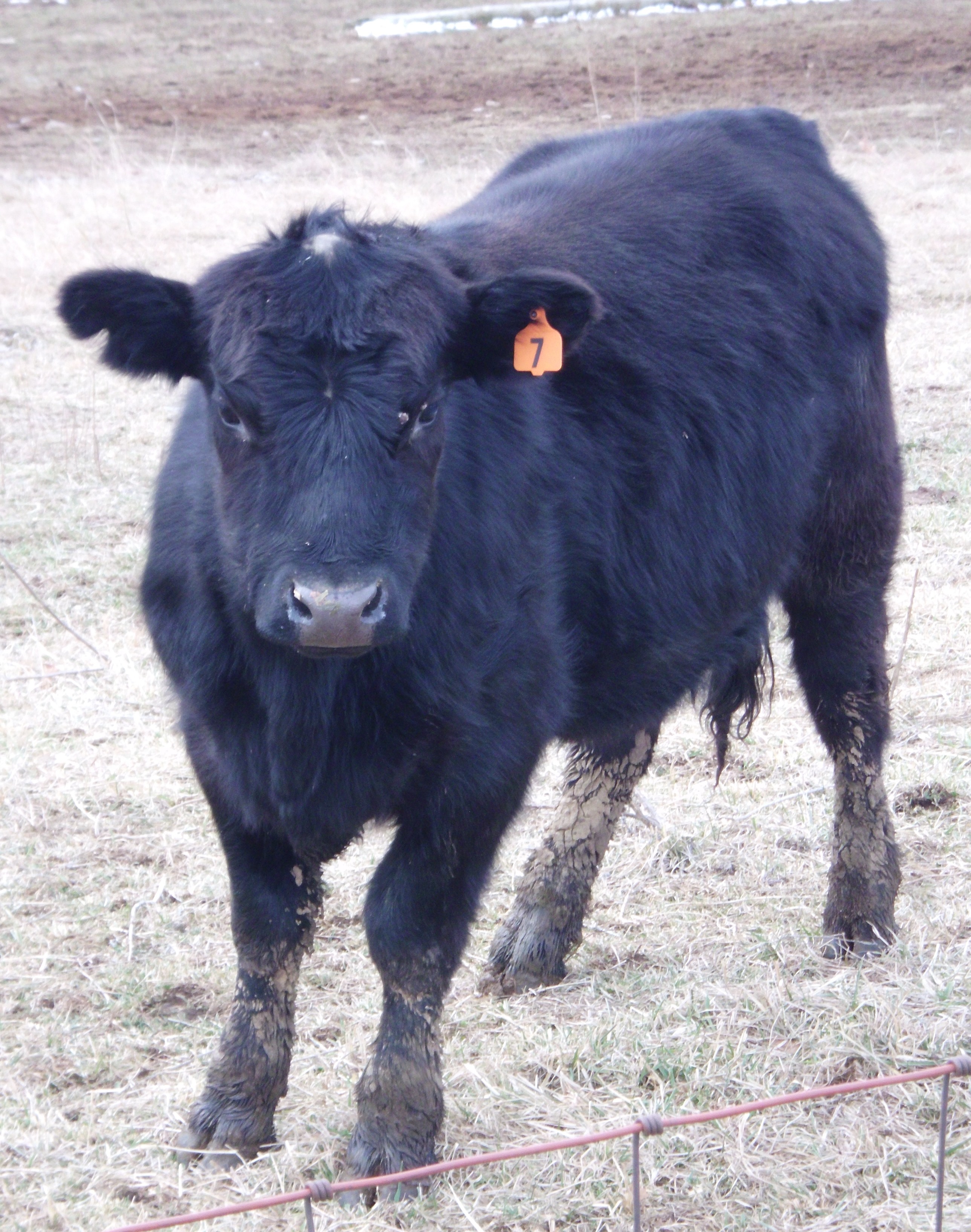
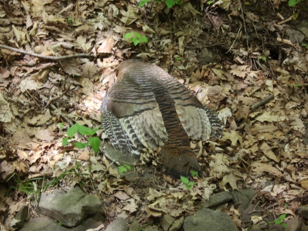
I parked near the main road, and headed up the road fire road. It’s a little shy of two miles to the split in the road, this includes passing two turns to the right. I think next time I venture into this area Ill drive up and park at this split so I can go a little farther out.I took the left split and checked out some debris on the side of the trail right at the turn.  It appears that someone either dumped some housing supplies or a little tiny shack collapsed. Next to the pile I found a dead bird. I did not touch it but snapped off this photo from Simon’s back. I think it might be a pheasant. But I really have no idea.

SANYO DIGITAL CAMERA

SANYO DIGITAL CAMERA

SANYO DIGITAL CAMERA

SANYO DIGITAL CAMERA

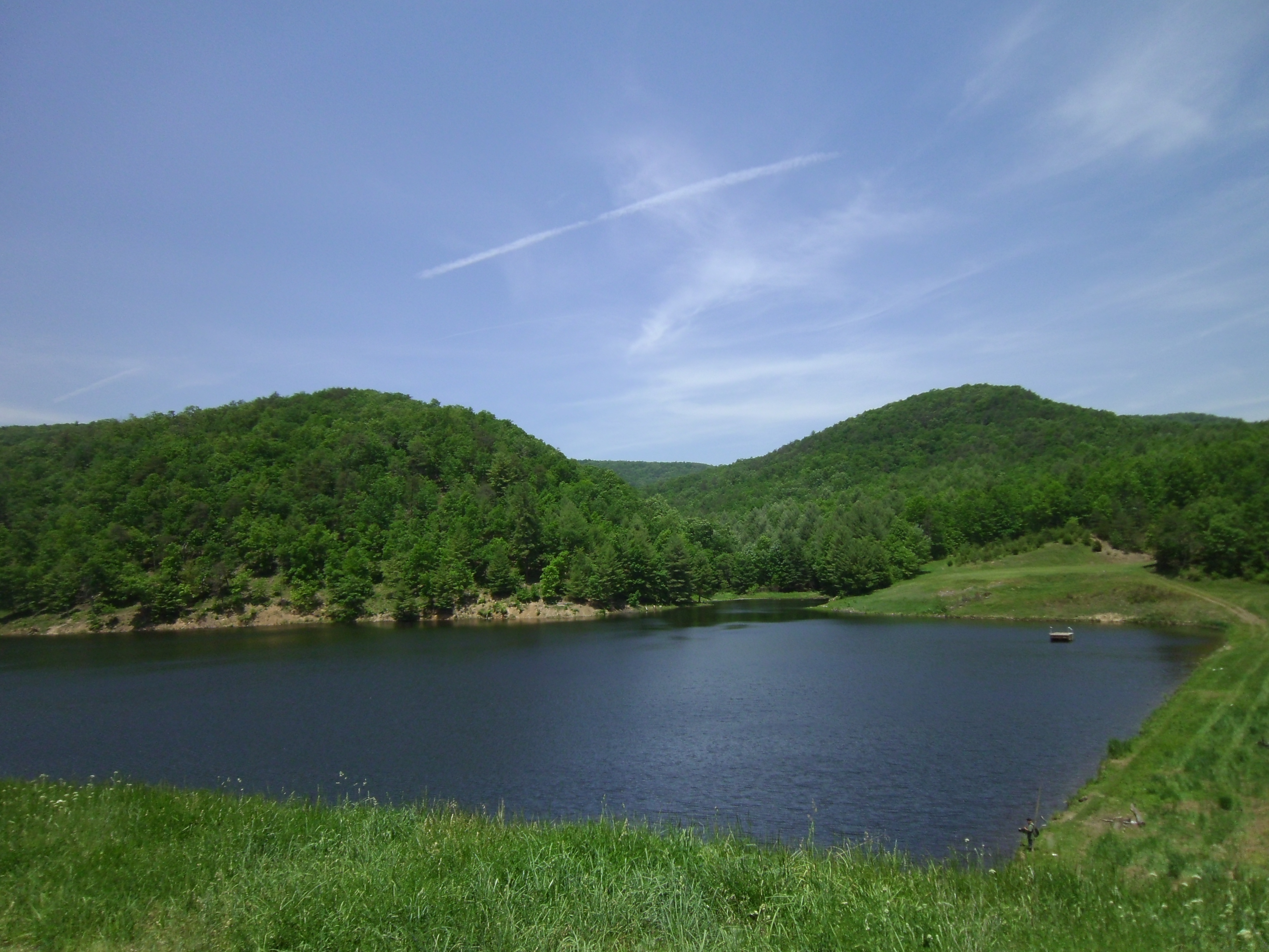
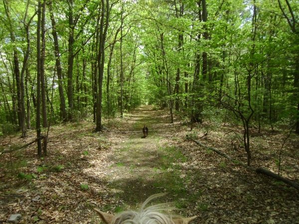
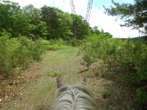
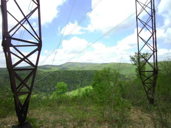
I continued up the road, which was a rather well-manicured. At the top there was sort of a wide turn around area that has signs of recently being used for camping. There is a nice wide green turn off to the left, over a berm, which goes out to the power lines. Of course this is a spot for amazing views. I took a few minutes to enjoy looking around at the mountains and tree tops and then proceeded along a small unmarked trail straight ahead. I went a short ways and eventually turned back around. I saw a lot of beer signs including some scat and lots of clawed up trees. The trail was rather simple and nice but did not appear to be headed anywhere.

SANYO DIGITAL CAMERA

SANYO DIGITAL CAMERA


SANYO DIGITAL CAMERA

SANYO DIGITAL CAMERA


SANYO DIGITAL CAMERA

SANYO DIGITAL CAMERA


SANYO DIGITAL CAMERA

SANYO DIGITAL CAMERA

 
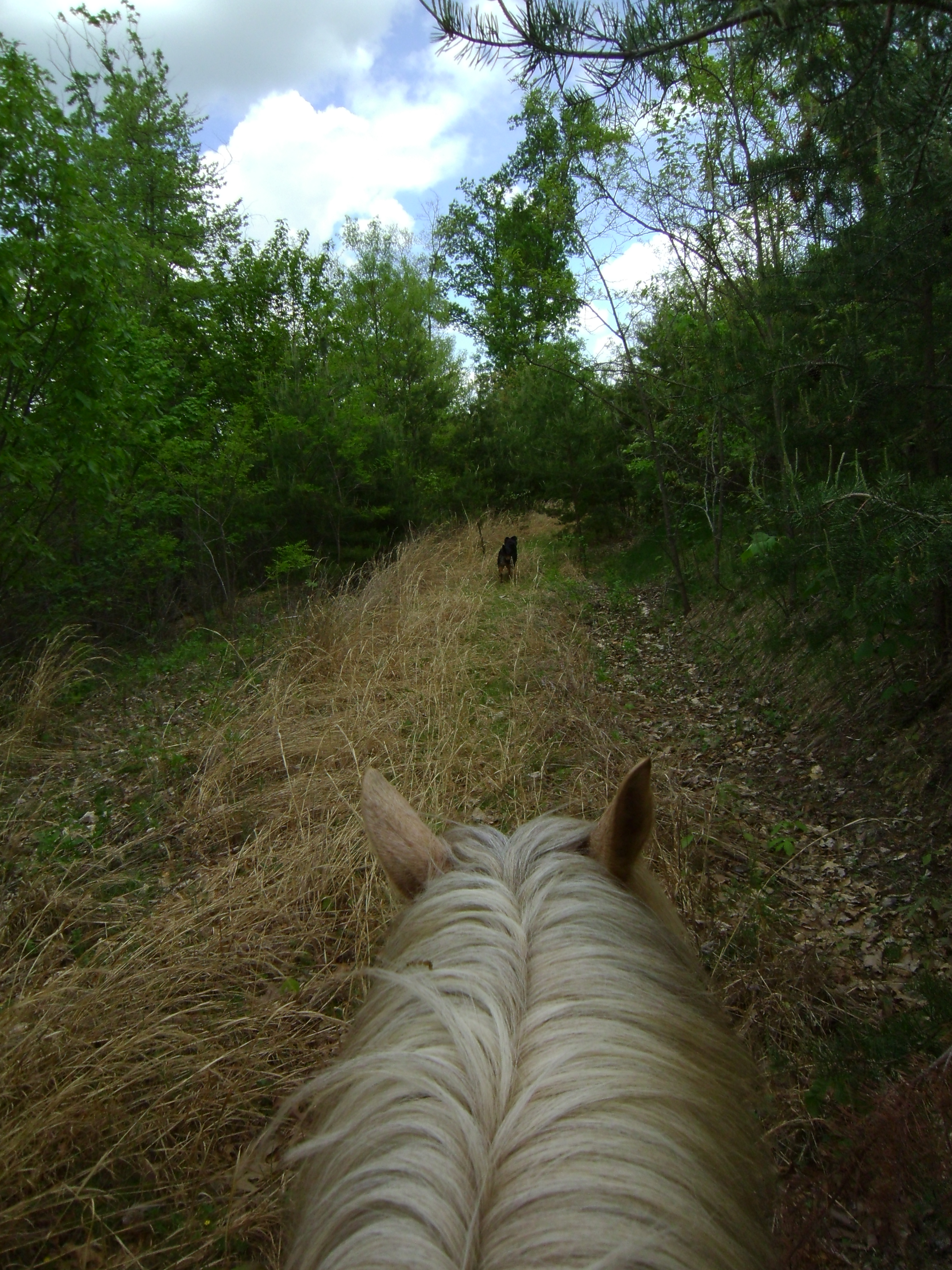
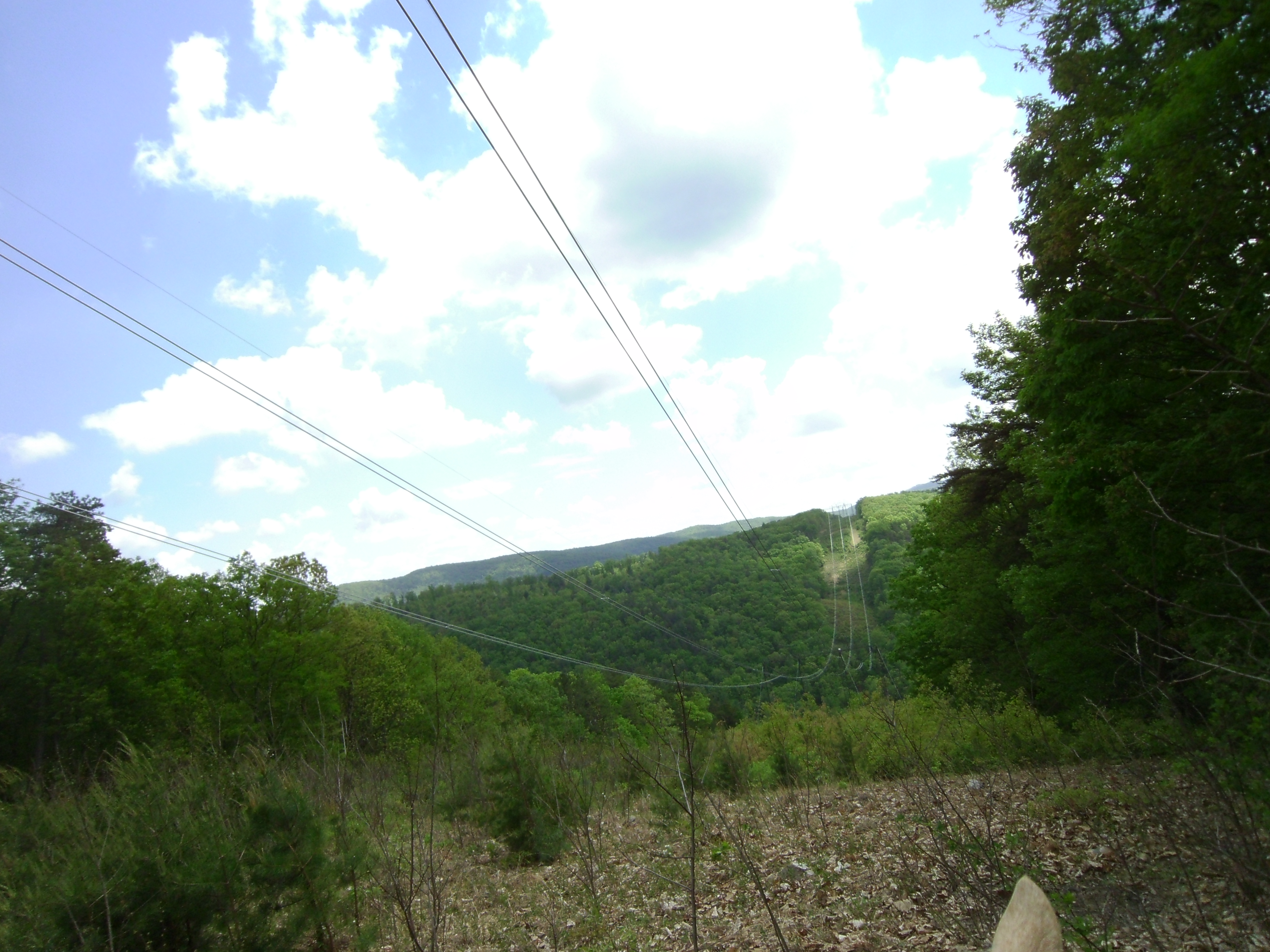
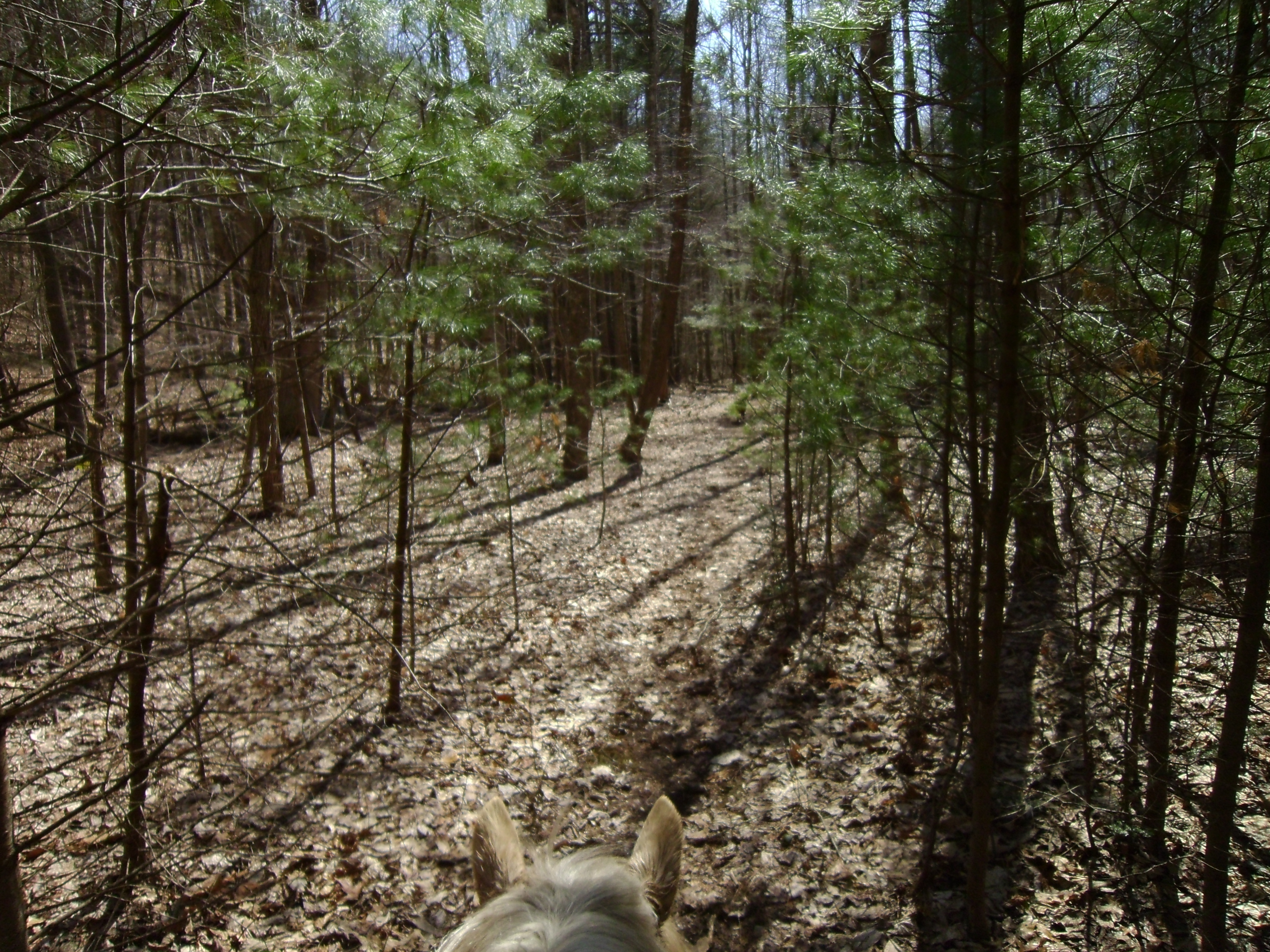
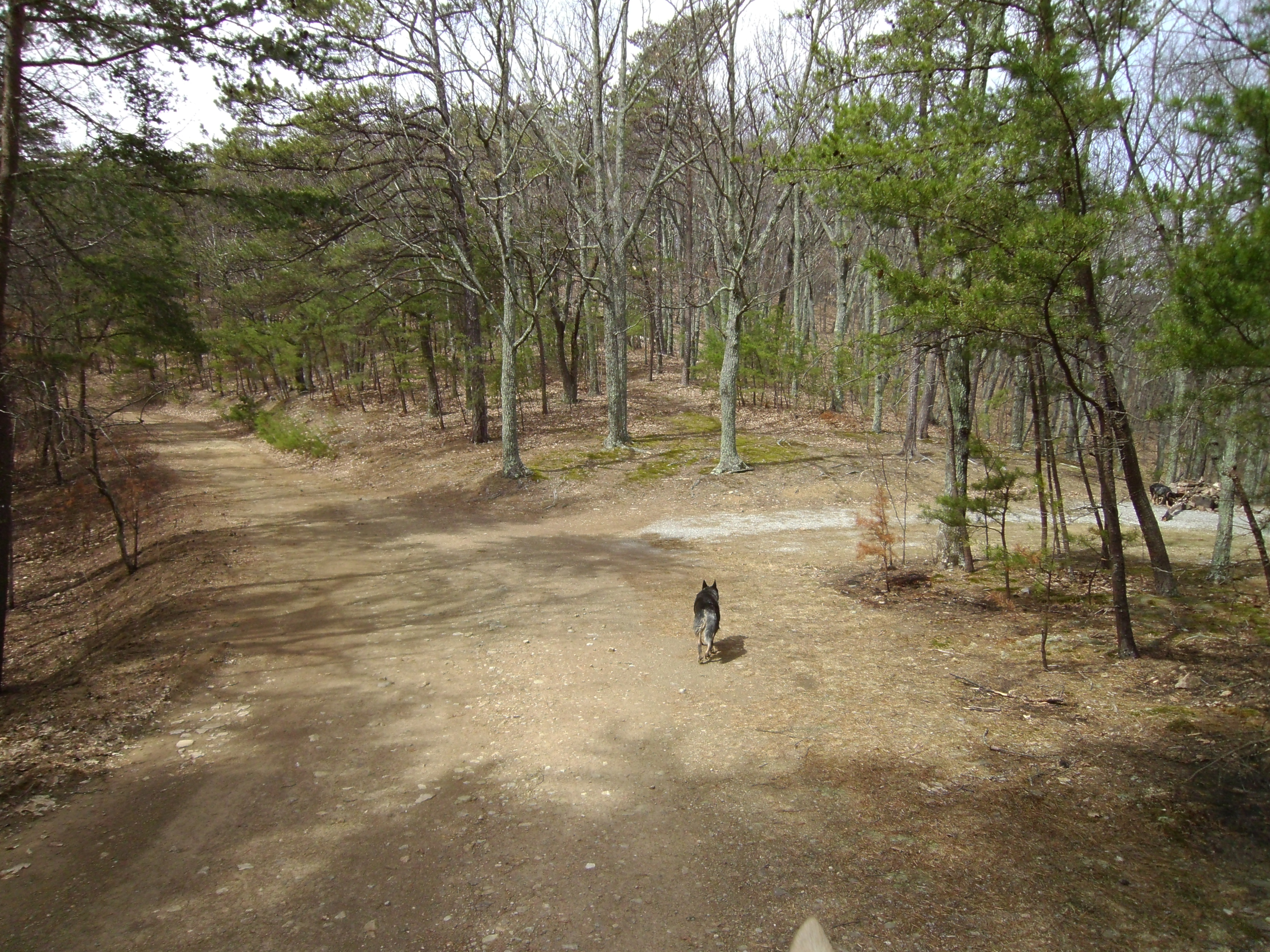
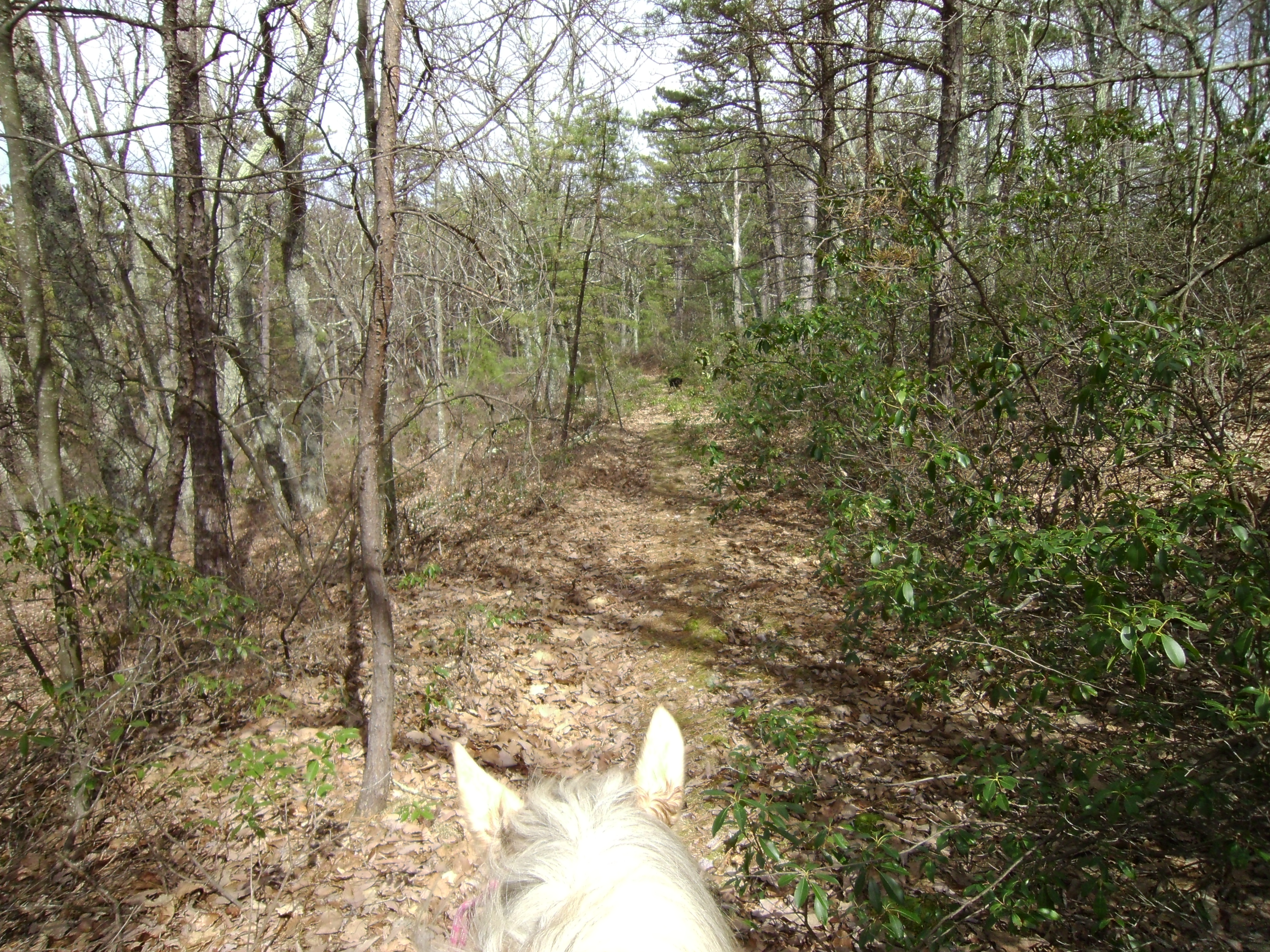
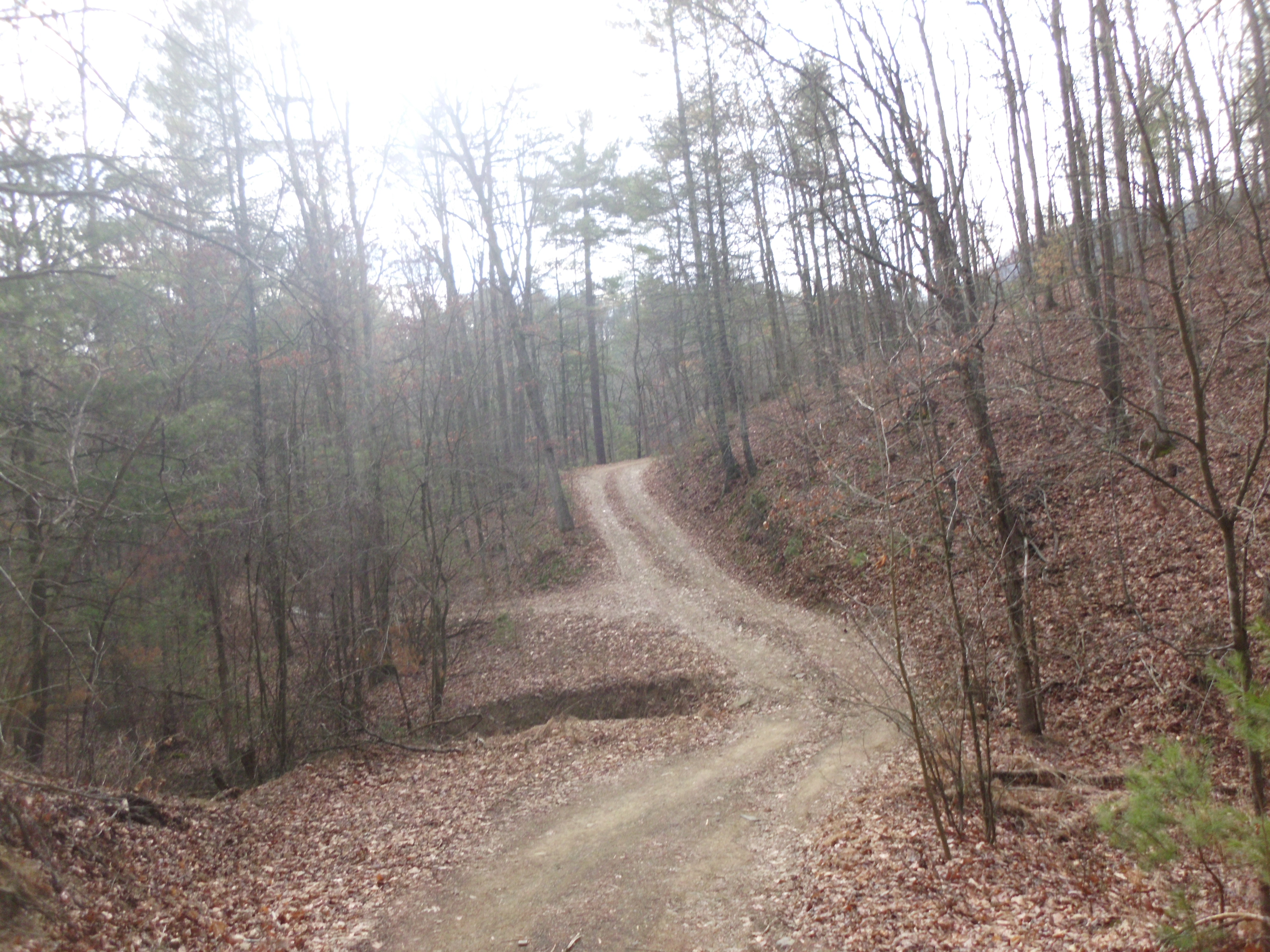
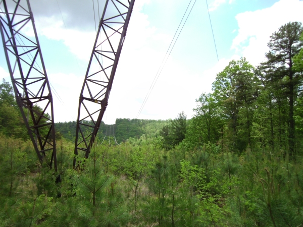
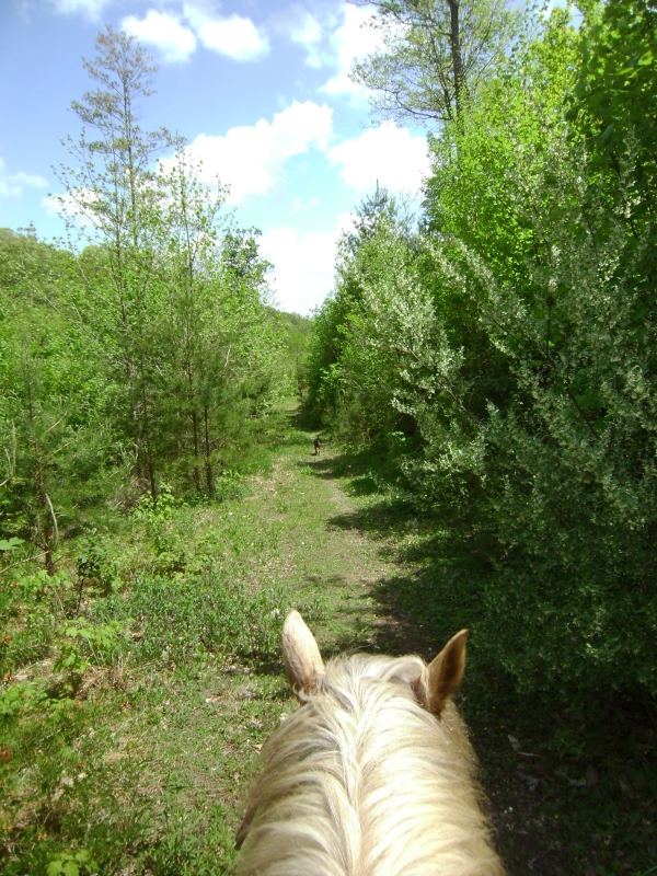
Back on the fire road I continued along and shortly came to a closed gate. I can’t remember if it’s at the turn I drew it in on the map, or more likely on the turn before that one. The fire road was still pleasant after the gate, although it shortly came to a wide turn around area, again with camping evidence. Coming out of the back of the area, where the original fire road is still in place, although over grown, a nice trail was still usable. I continued along this portion, which crossed back and forth across the power lines several times. Each pass pausing to enjoy the amazing views.
SANYO DIGITAL CAMERA

SANYO DIGITAL CAMERA


SANYO DIGITAL CAMERA

SANYO DIGITAL CAMERA

 
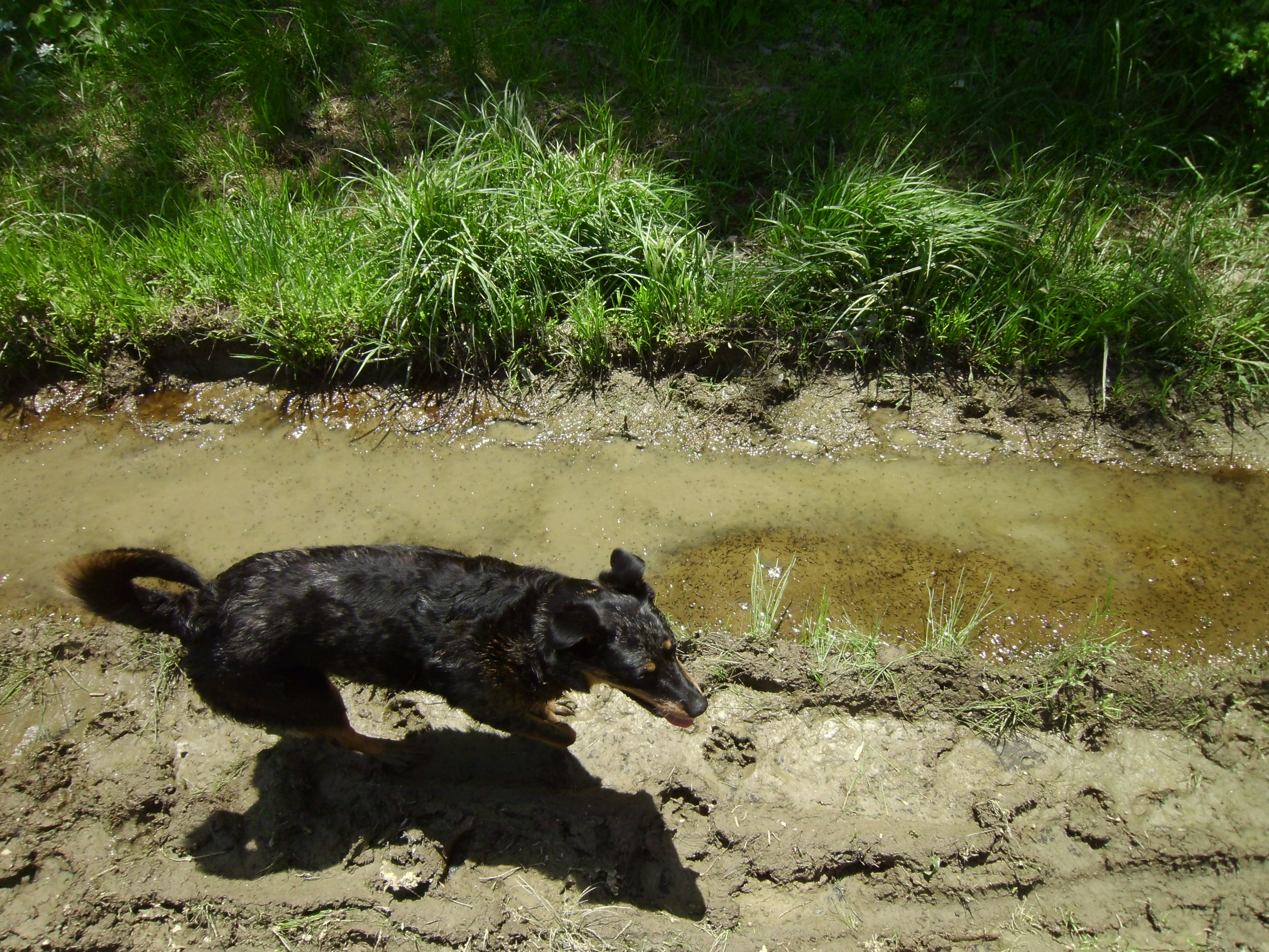
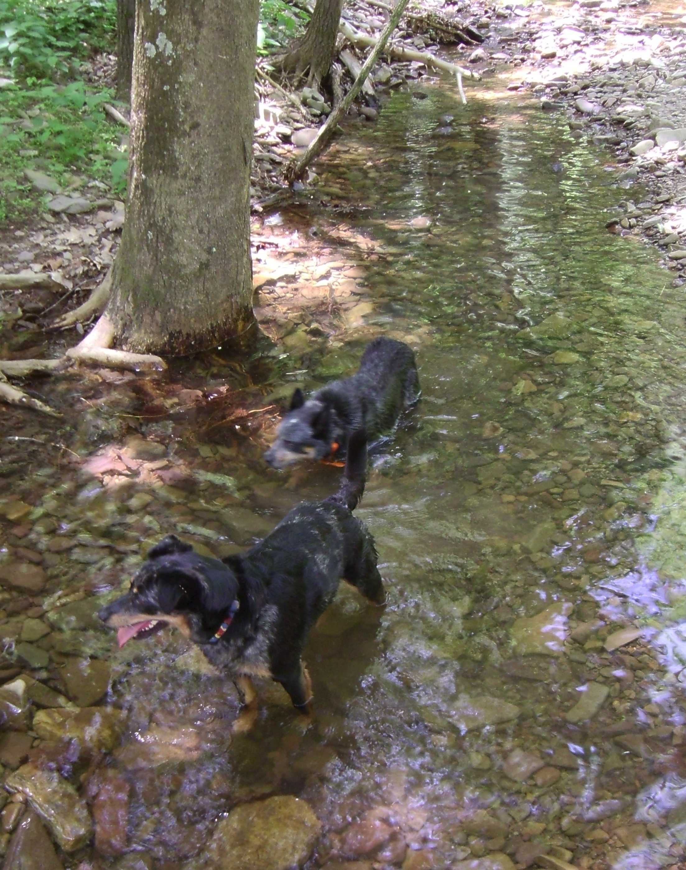
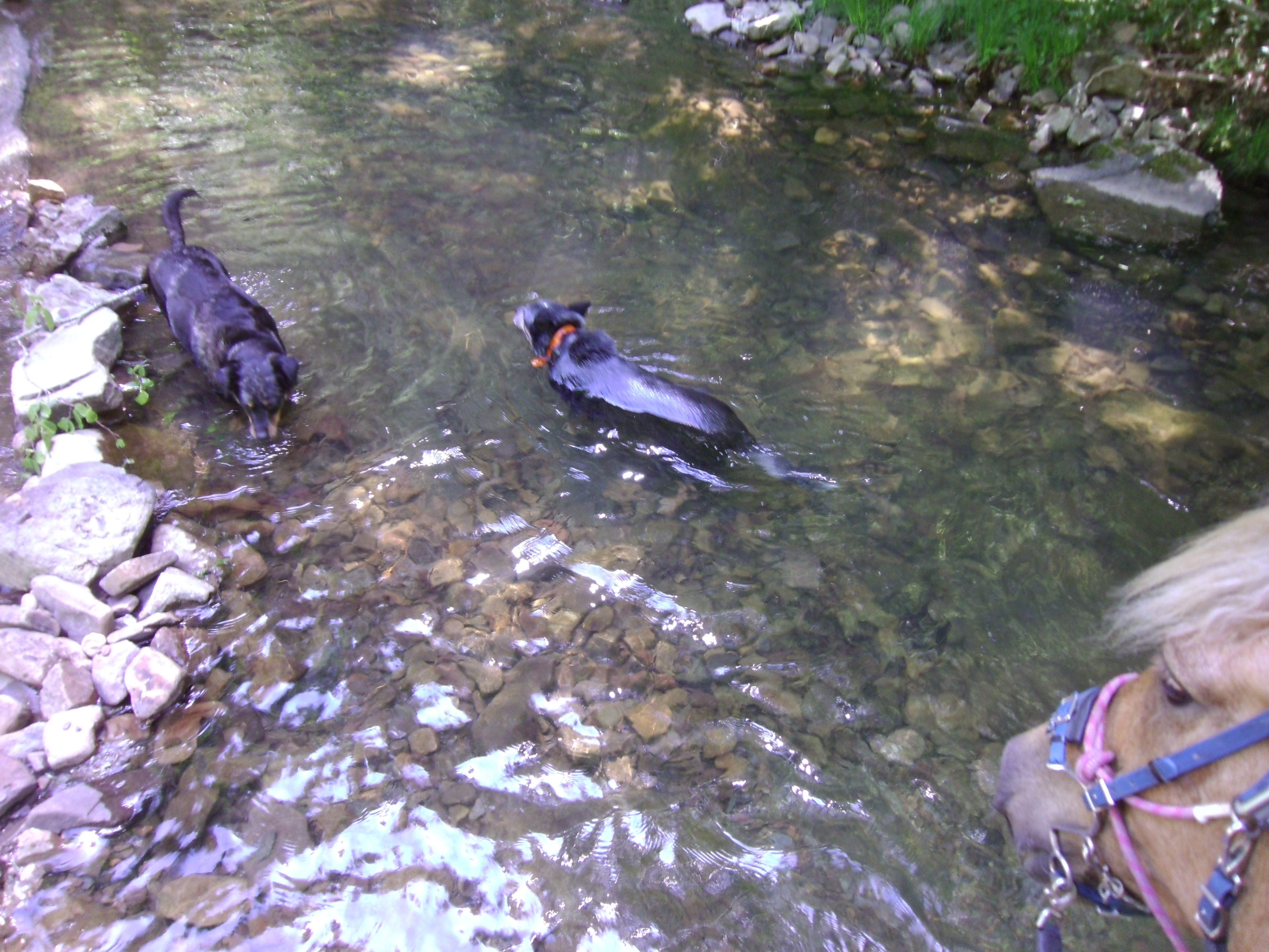
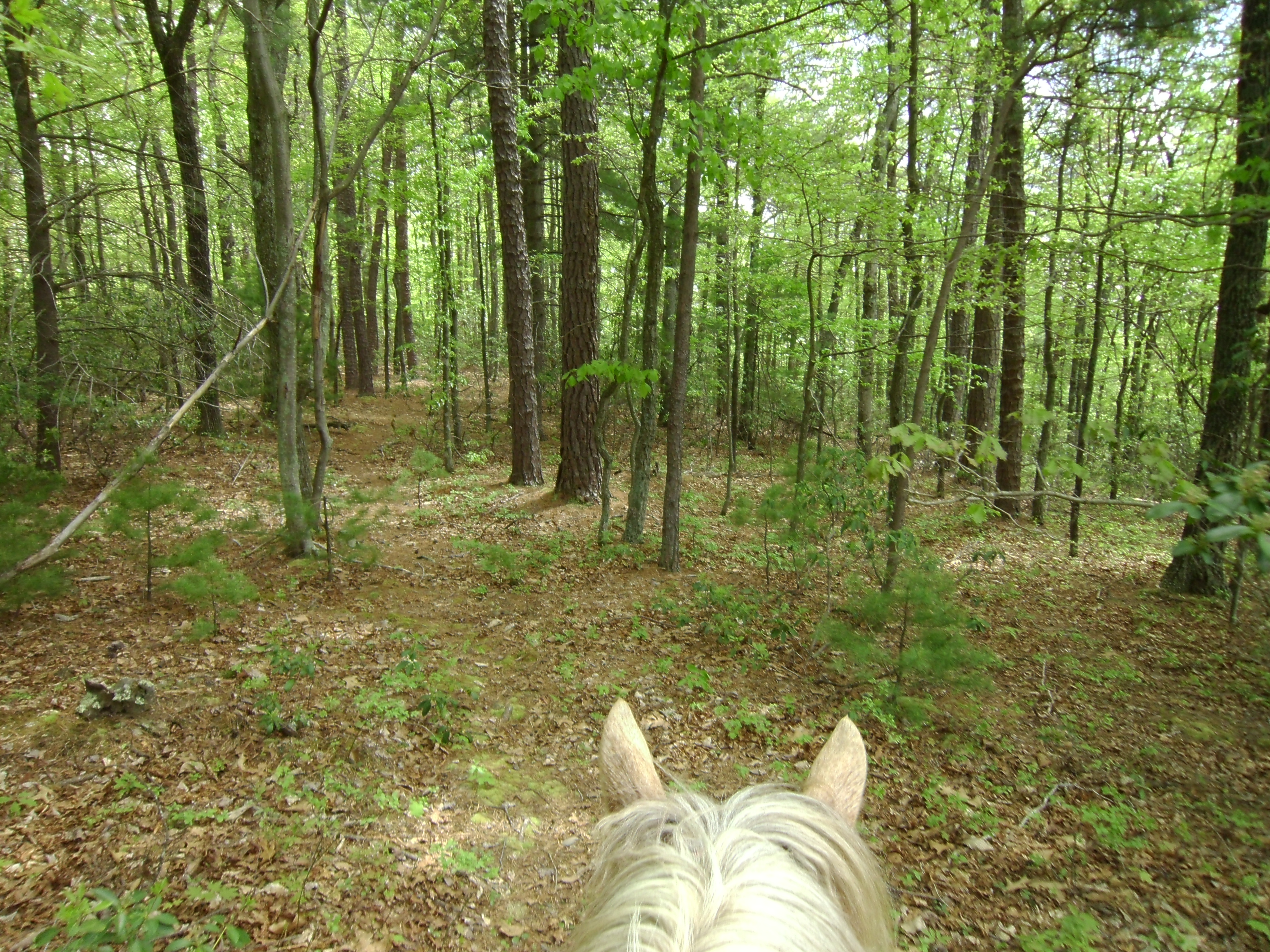
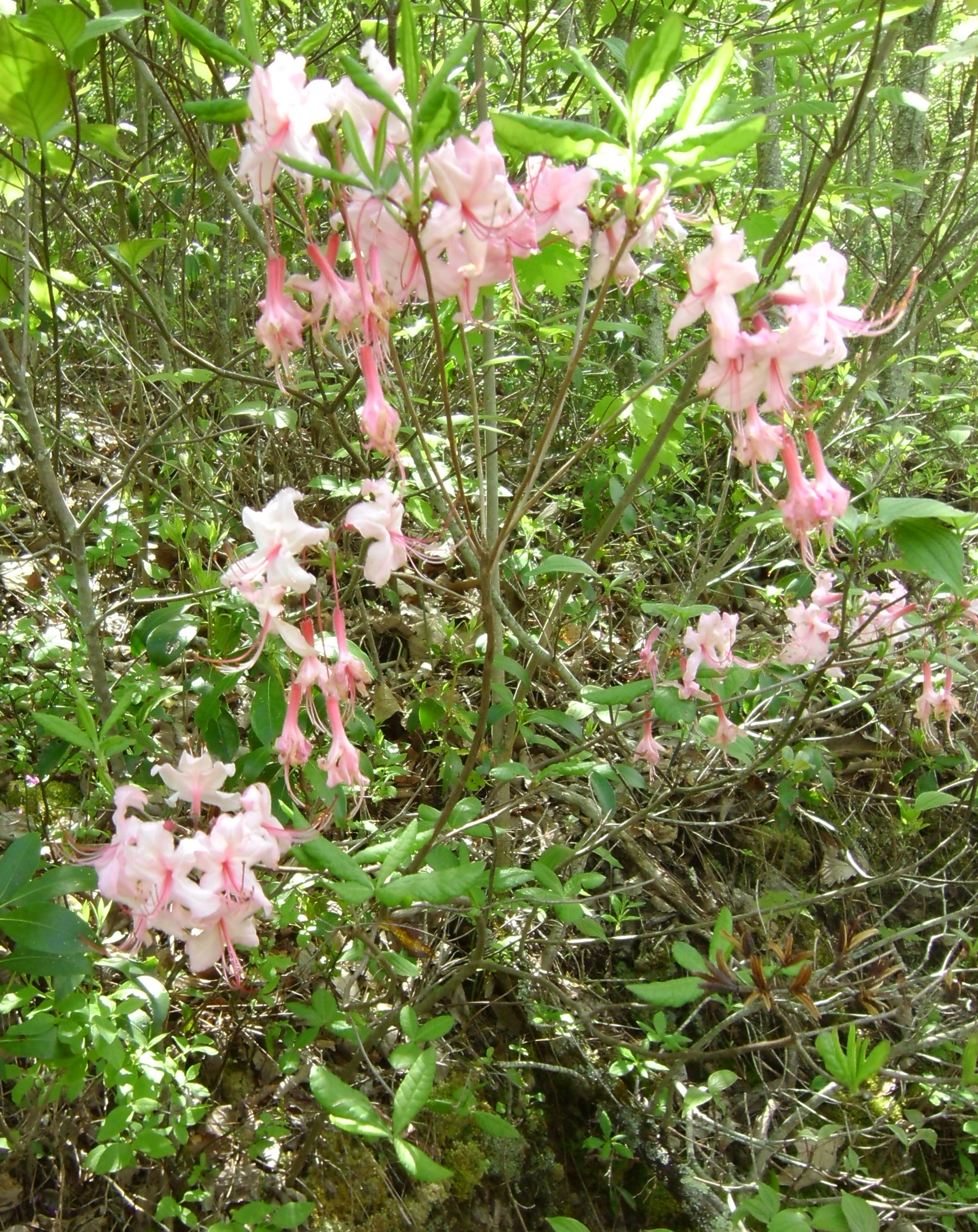
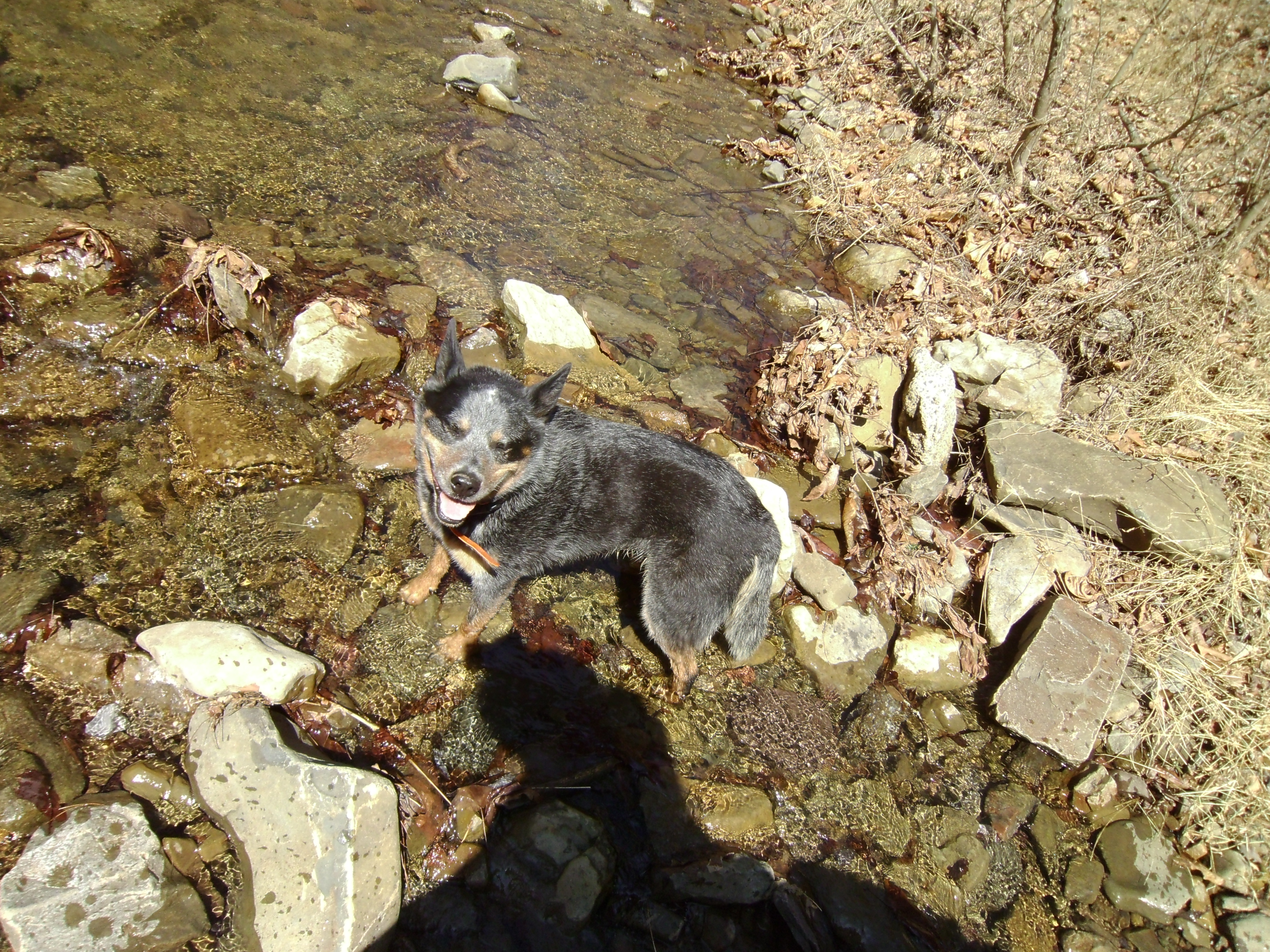
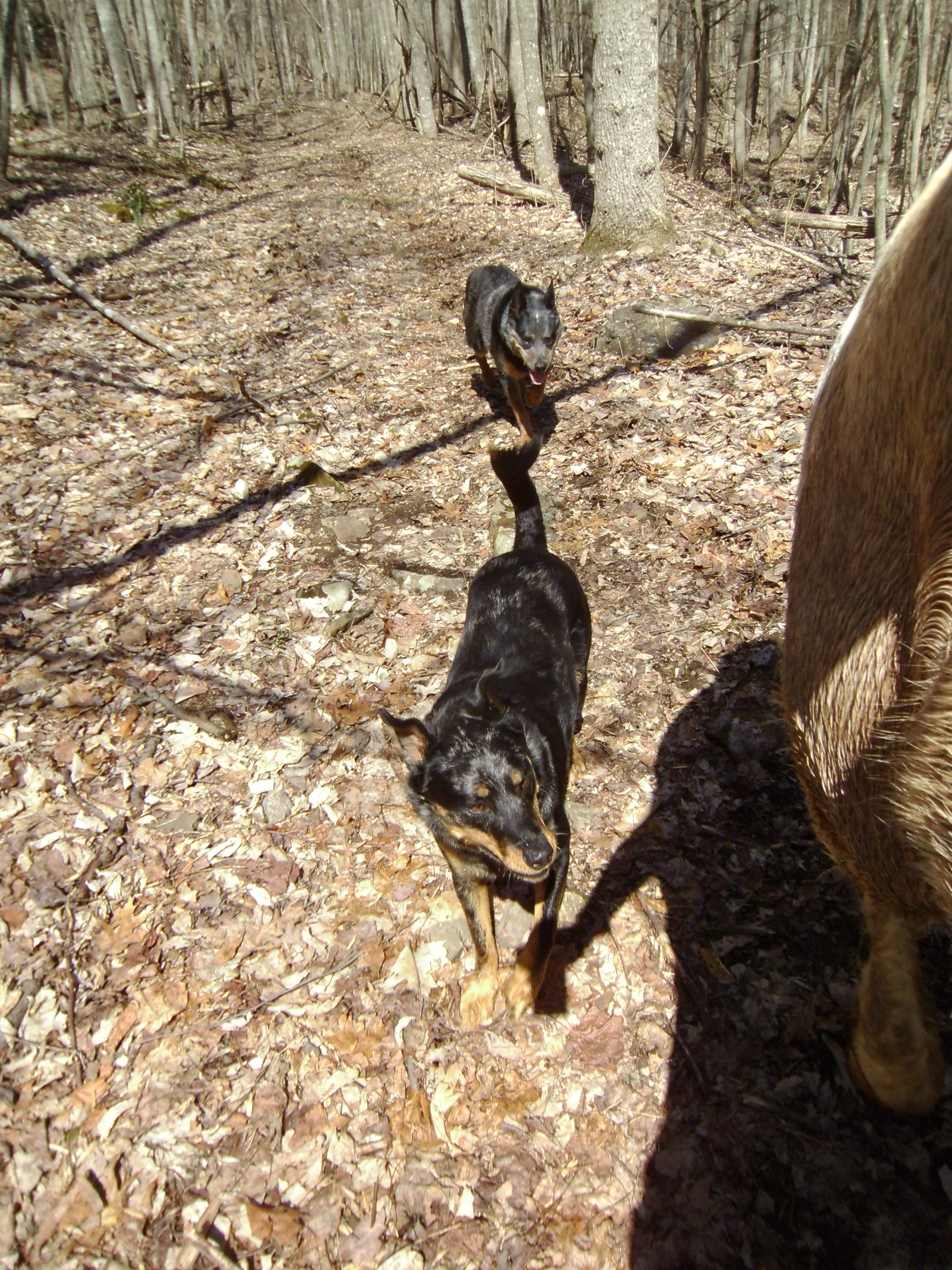
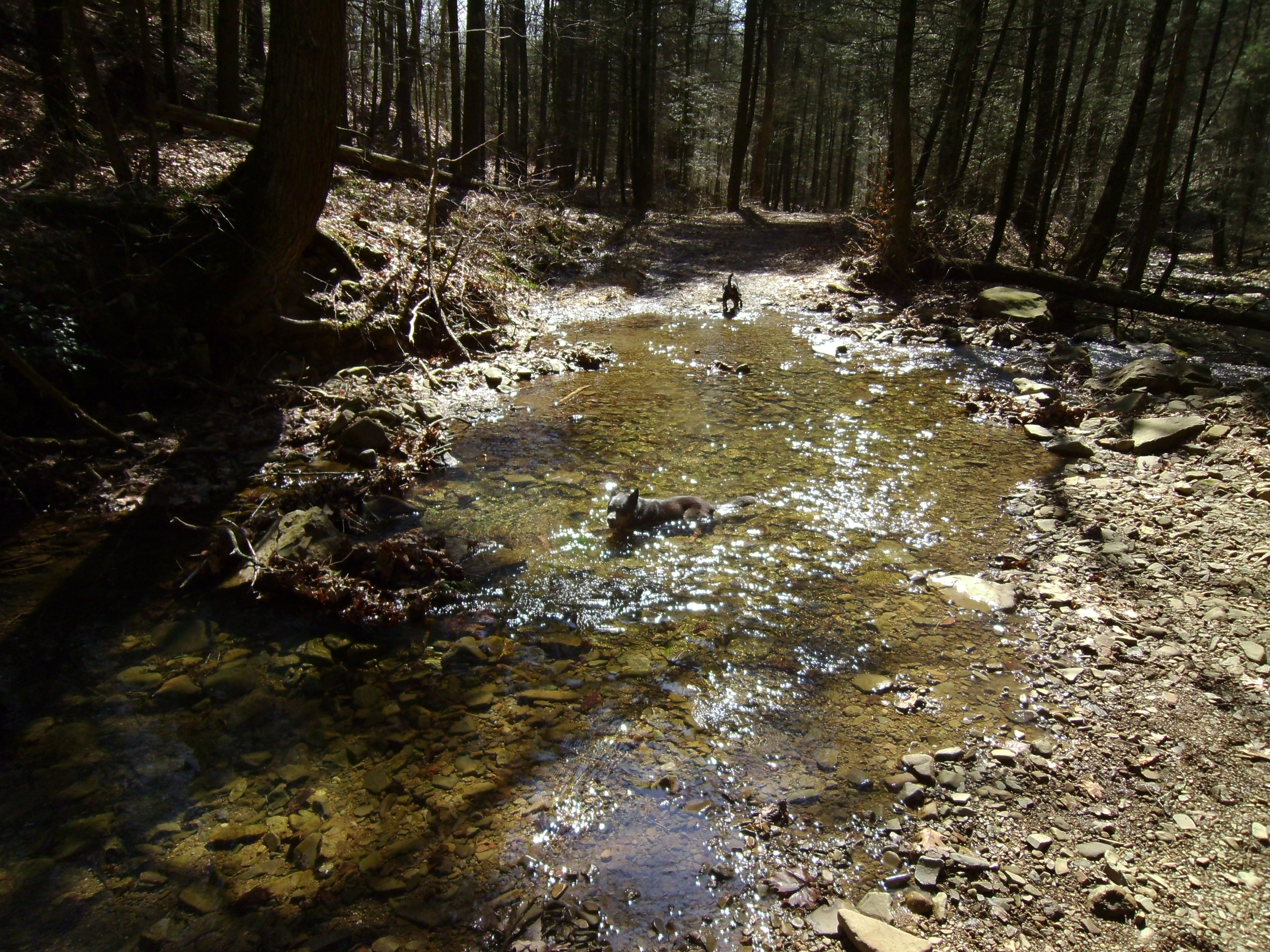
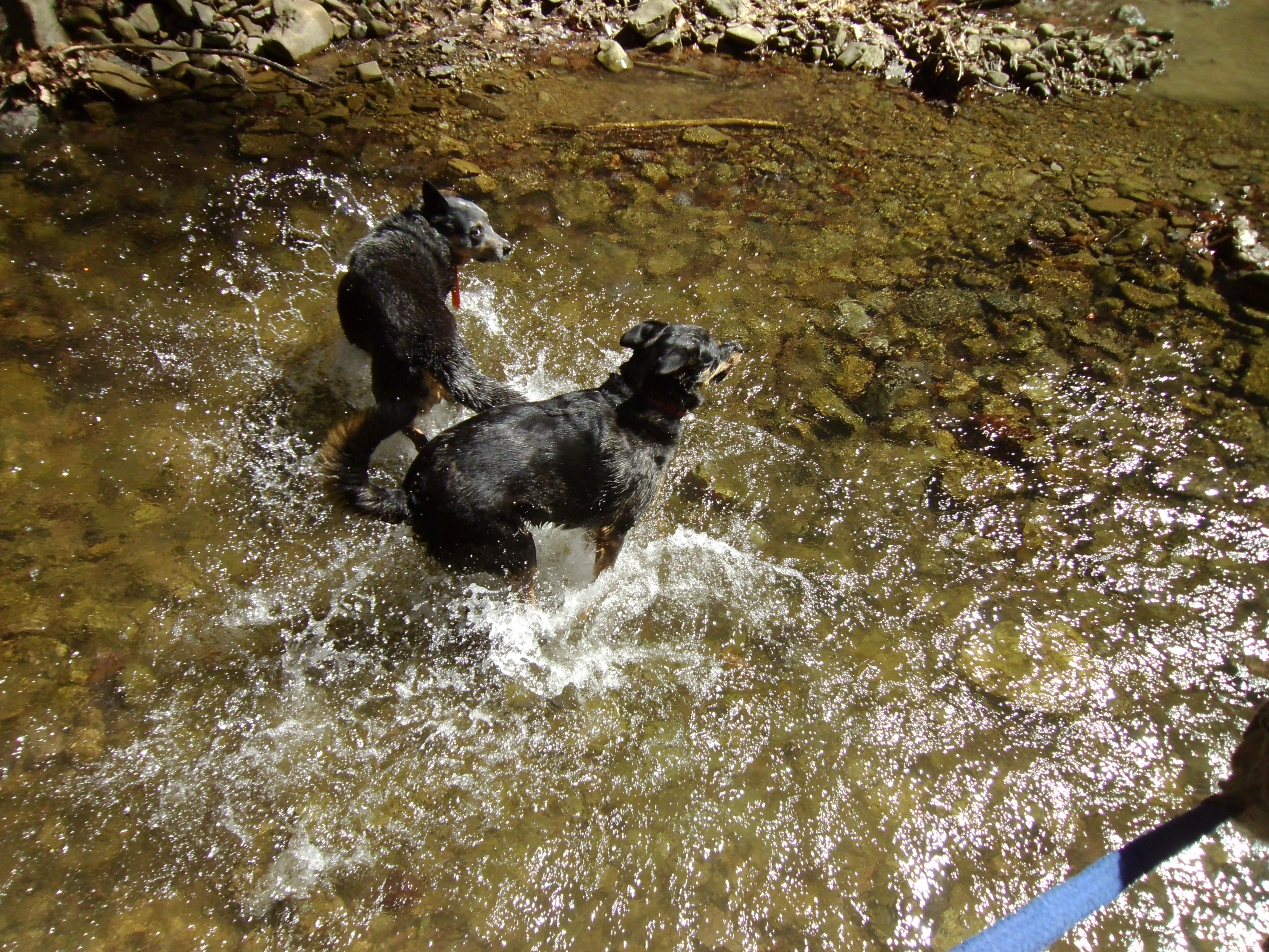
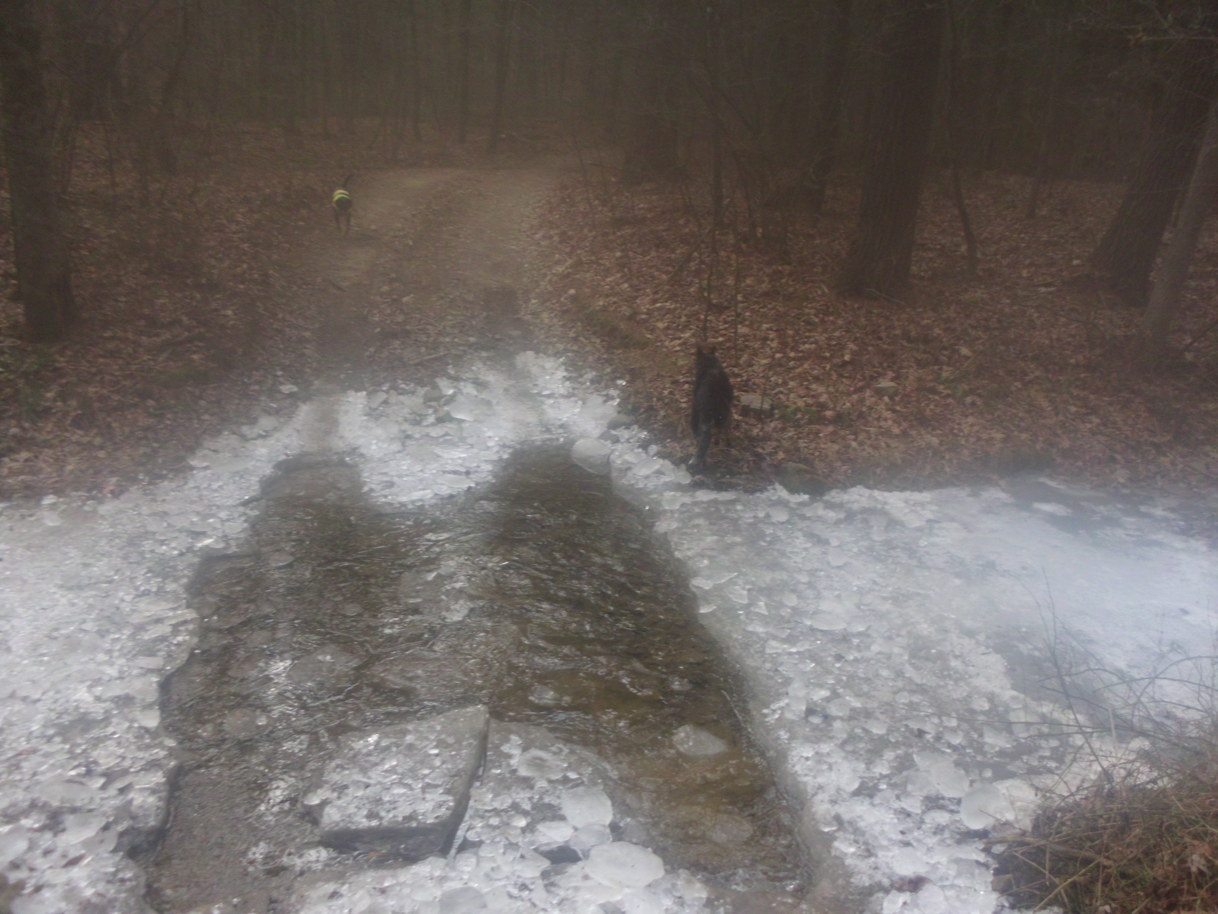
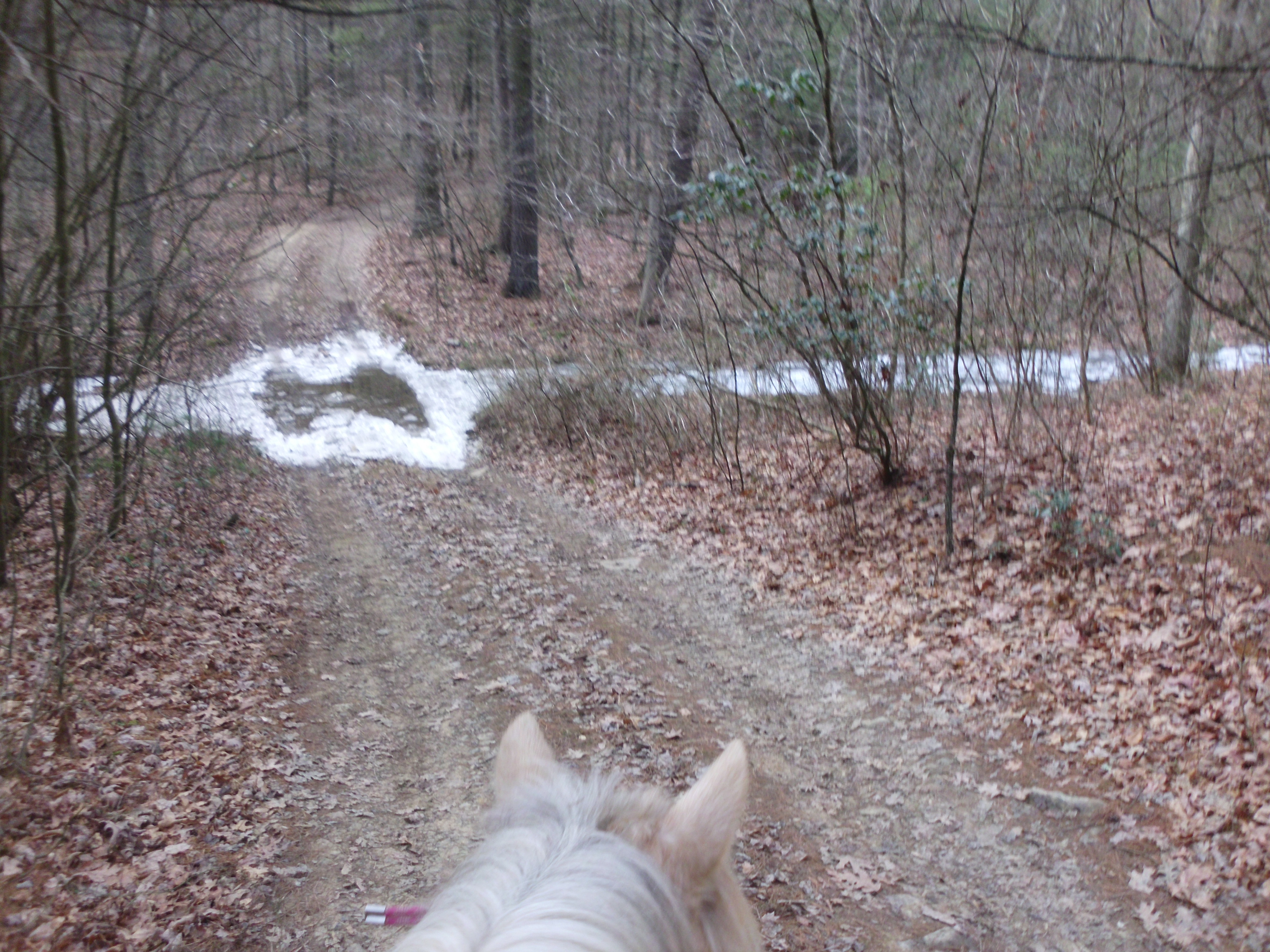
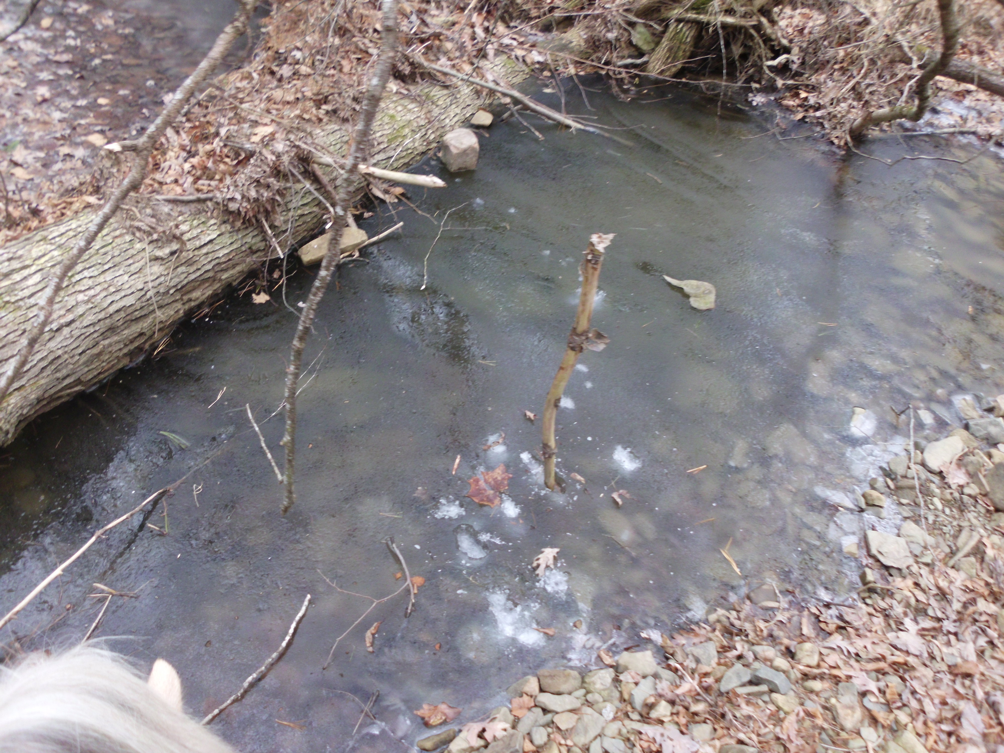
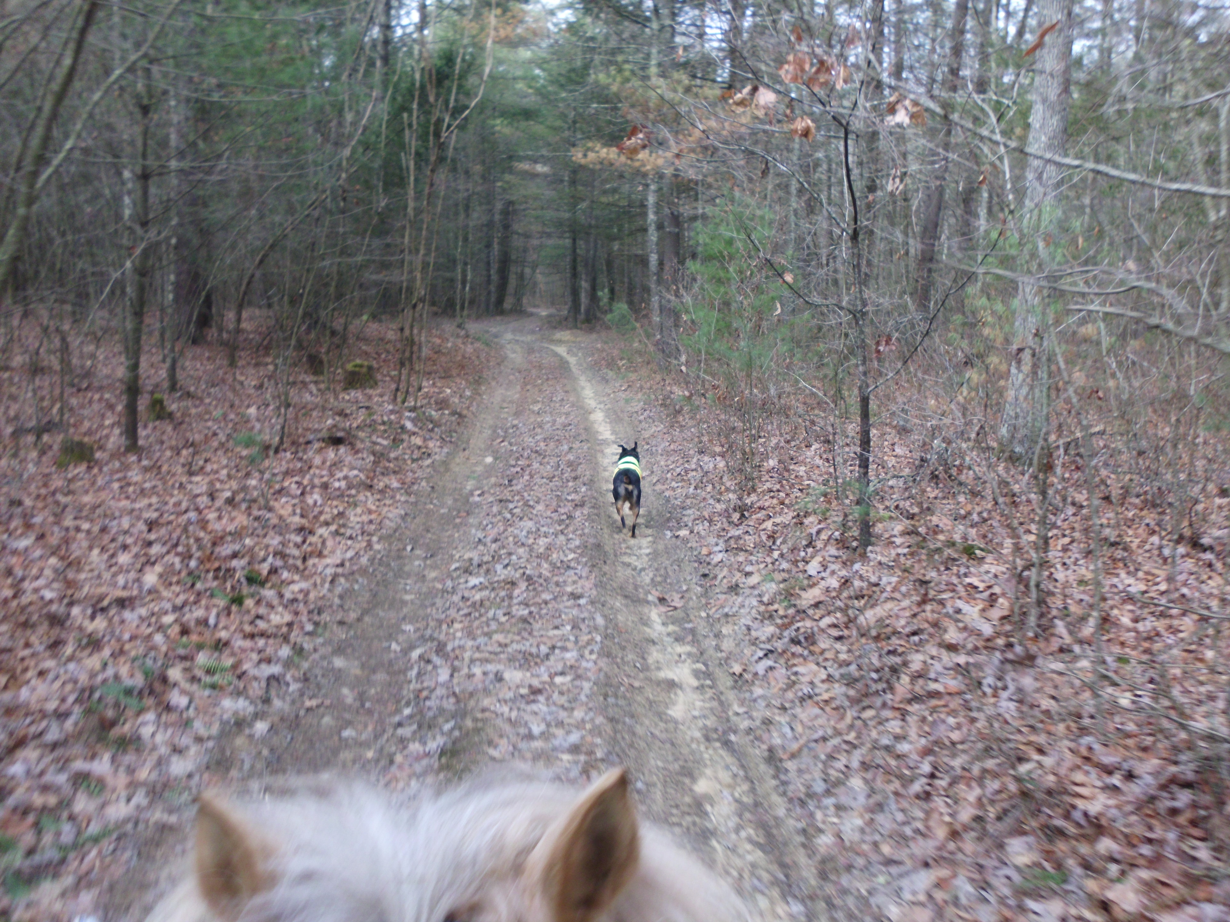
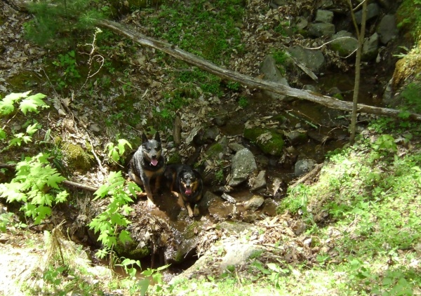
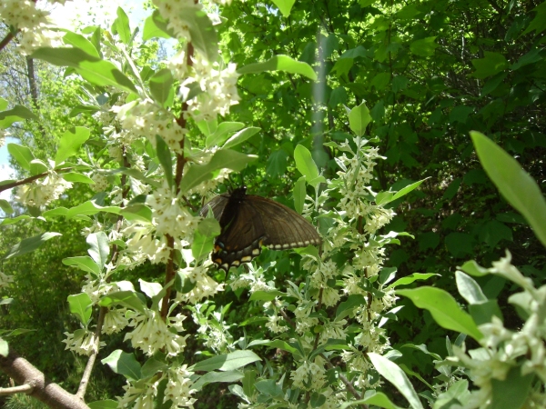
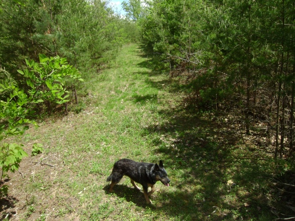
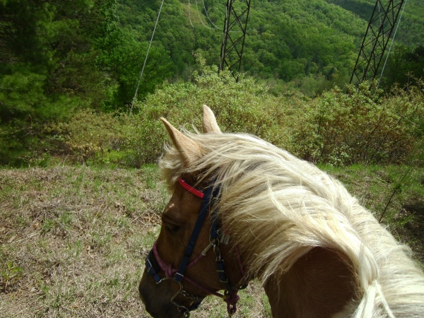
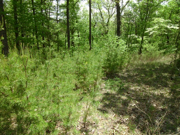
The trail was really nice. It was wide enough in most places for a quad, in some places the road was perfectly open, and in others it was more of a dirt bike/pony/person width. It was pleasantly green with blooms and flowers, it smelled fabulous, and there was a nice breeze whispering through. It was a bit more exposed to the sun than I expected, although not continuously, but maybe not the best option for the hottest brightest days of the summer. I came home a little pink. There were also a few spots with flowing springs or run offs along the edge of the trail. I would expect these to be dried up in the summer, but they were still running yesterday and the dogs enjoyed them.
SANYO DIGITAL CAMERA

SANYO DIGITAL CAMERA


SANYO DIGITAL CAMERA

SANYO DIGITAL CAMERA


SANYO DIGITAL CAMERA

SANYO DIGITAL CAMERA

SANYO DIGITAL CAMERA

SANYO DIGITAL CAMERA


SANYO DIGITAL CAMERA

SANYO DIGITAL CAMERA

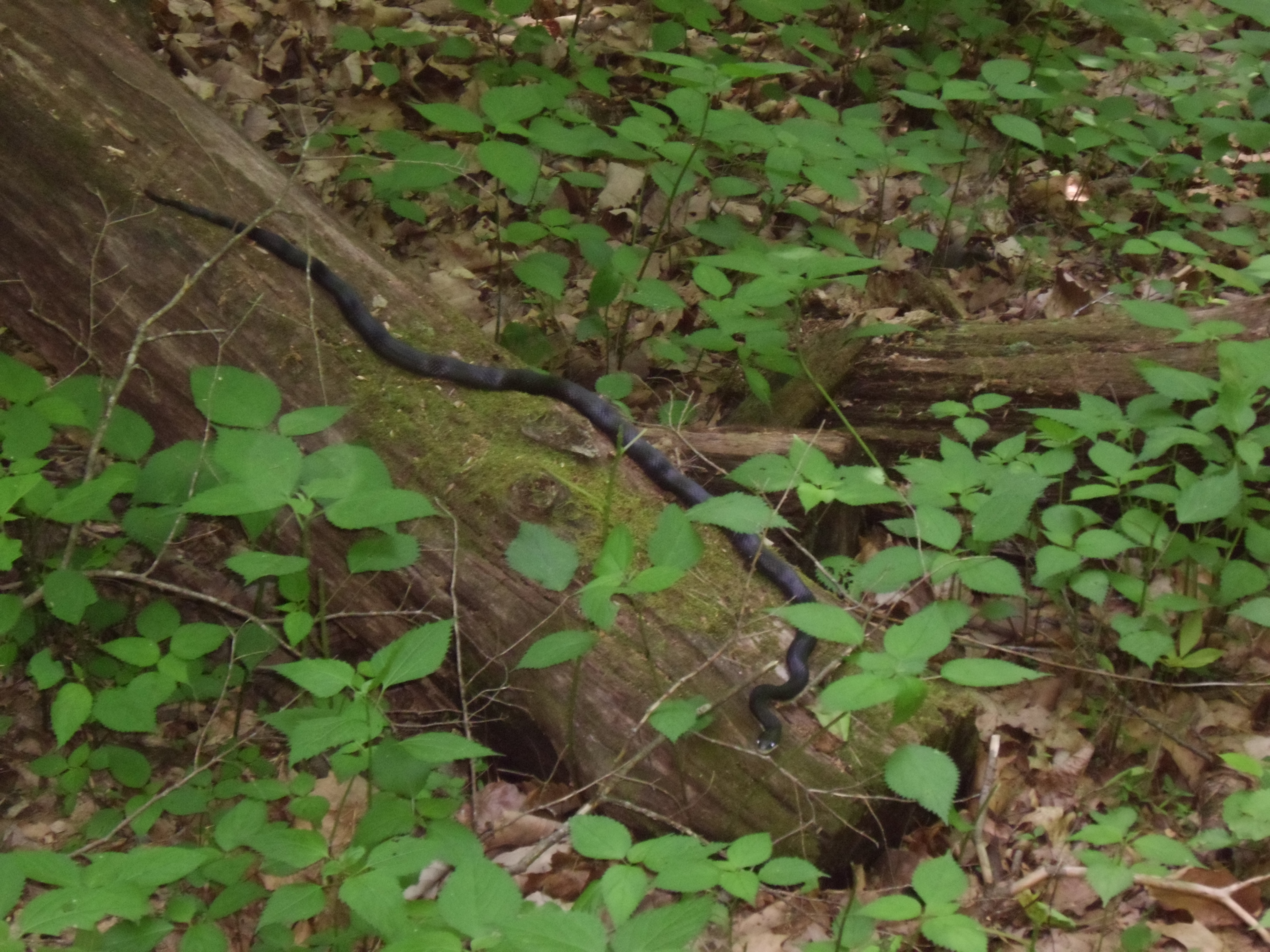
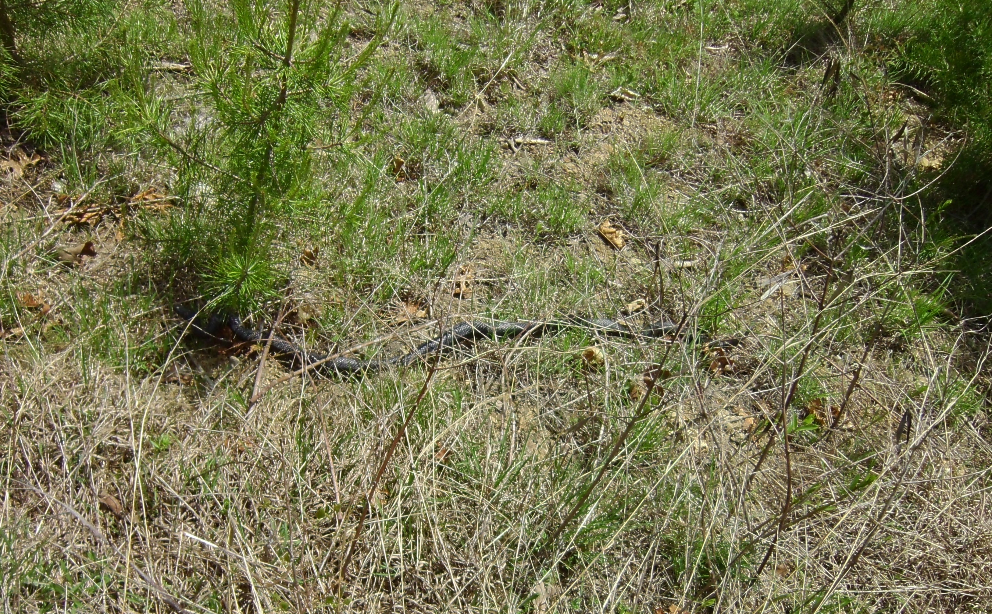
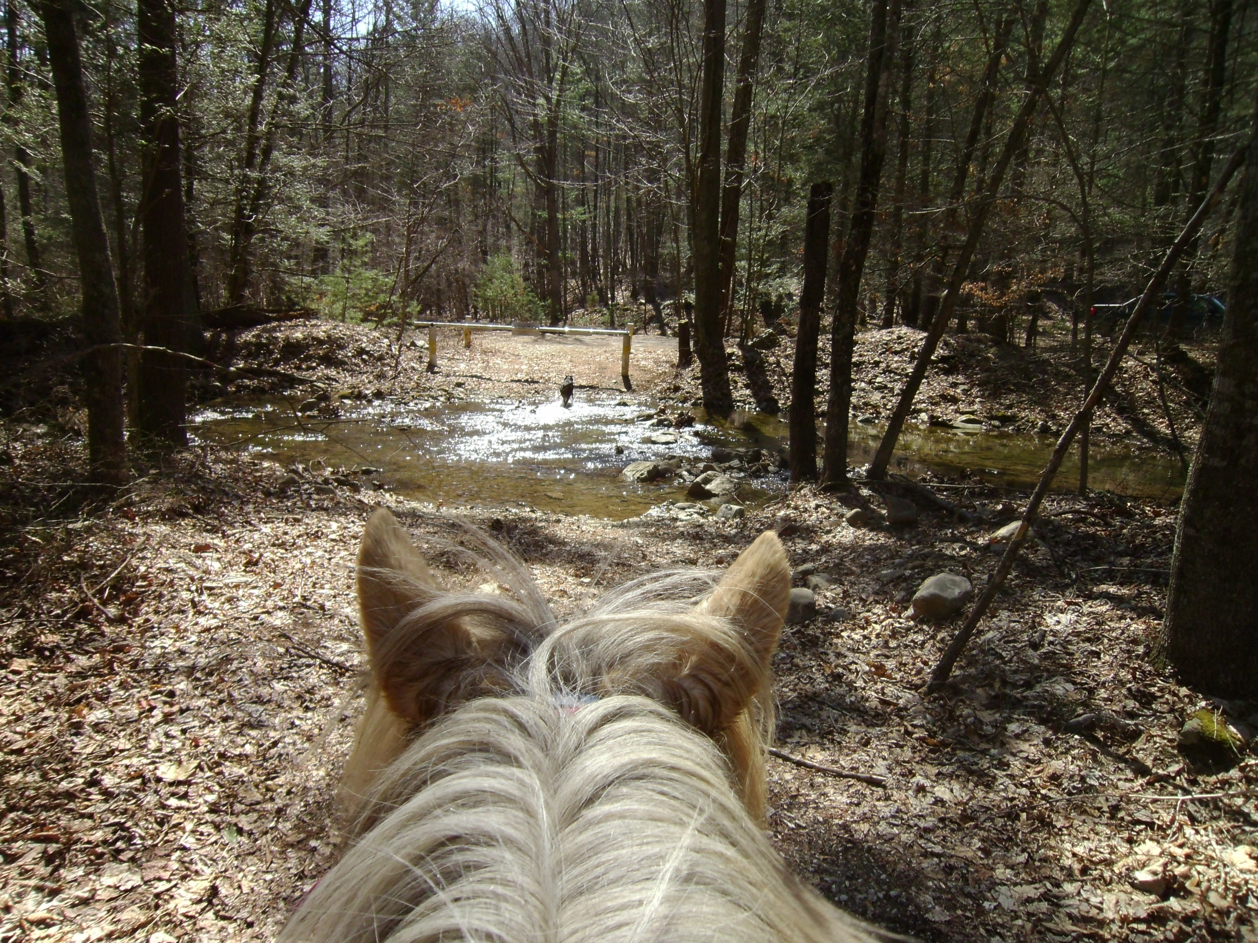
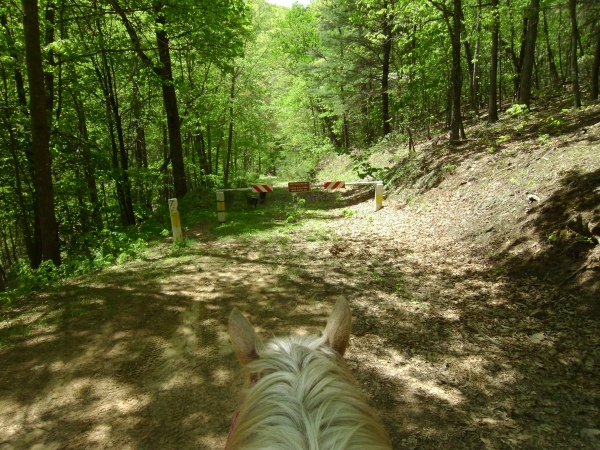
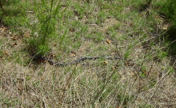
The road comes to an abrupt end under some power lines. It was a nice ending, with some views, although I felt like there should have been a trail or something continued at the end. But I saw a big ol black snake on the trail, just a few feet from the end and was more than happy to call it turnaround time. I am not a fan of snakes.

SANYO DIGITAL CAMERA

SANYO DIGITAL CAMERA


SANYO DIGITAL CAMERA

SANYO DIGITAL CAMERA


SANYO DIGITAL CAMERA

SANYO DIGITAL CAMERA


SANYO DIGITAL CAMERA

SANYO DIGITAL CAMERA


SANYO DIGITAL CAMERA

SANYO DIGITAL CAMERA

On the ride back I checked out two yellow markers on some small pines growing up on the edge of the fire road, right at a turn. They were old, and worn, but marked a semi hidden trail head. I checked it out just a little and found it over grown with thorn trees. Not the pricker bushes or vines, but the trees with thorns all over them. Forget that.

SANYO DIGITAL CAMERA

SANYO DIGITAL CAMERA

I also checked out a small branch off to the right, it was again a bit over grown, although still obvious, and very short. I did not see the trail head for the dotted line on the other end at all. Although I was not looking for it and noticed it on the tracker map when I got back.

A nice ride and a gorgeous day.

Trail Report – Yankeetown and Turner Run

March

Two rides in two days in one report.

Saturday – Yankeetown, Marshall Run, 235

This loop is about 12 miles with plenty of creek crossings.  I ran into Gale and Dale when I got back to the trailer.  They were just ahead of me on the loop.  I also ran into some hikers.  These are the community serving guys that cleared the trail over the winter.  I wish I had some beer in my saddle bags to cheers them with.  Simon and I completed out ride in about two hours (my tracker cut out about mid ride).

4

SANYO DIGITAL CAMERA

SANYO DIGITAL CAMERA

SANYO DIGITAL CAMERA

SANYO DIGITAL CAMERA

????????????????????

SANYO DIGITAL CAMERA

The dogs went for a few swims when crossing some of the creeks and Simon even waded out to his belly.   SANYO DIGITAL CAMERA

SANYO DIGITAL CAMERA

SANYO DIGITAL CAMERA

Sunday – Turner Run, 423

This ride was about 13 miles and mostly fire road.

2

I wanted to check out the fire road father along, and also two trails marked on my mapping app that were not on my forest service map.   On the map image above I also marked the second fire road on the left (which has a gate) and roughly the trail I took on Thursday down to Slate Lick Lake and back.  I also marked the start of a second trail on the left, just past the one from Thursday.  It is right about where the forest shows signs of recovery from a forest fire and tracks straight down the slightly sloping terrain.  It is very pounced and hard to miss.  On the return trip the rocks along it showed white from a distance, catching the eye.  I am eager to try this trail out.

3

Ash was very excited for this ride.

SANYO DIGITAL CAMERA

There is a camp circle to the right that has a large fire pit in it.  This is where the trail that rides closer to the road starts.  This trail rides up and quickly spills out on fire road 423A.

If picking up the trail on the return, from fire road 423A, it splits.  The left branch runs father out and cuts back to the main fire road father along, as marked on the map above.  This trail was a bit over grown, more so just before dumping back out on the fire road.  I won’t bother to ride it again.

Both of these two trails were marked on my tracking app, but not the actual fire road map.  The left split is clearly an old logging road or fire road.  The right split had an old fire road gate post on it, and appears recently used.

SANYO DIGITAL CAMERA

This tree was down across the road just after the turn off for fire road 423A, which is on the right and angles back.  There was another tree down just a little ways past this one as well.  A large field opens just beyond it to the left.

SANYO DIGITAL CAMERA

????????????????????

SANYO DIGITAL CAMERA

Fire road 423A is recently used and ends cleanly at a gate to private property.  Time to turn around.

SANYO DIGITAL CAMERA

Above is a photo of the right split of the trail from 423A headed back towards home.

SANYO DIGITAL CAMERA

The above is a photo of the left split of the trail from 423A headed back towards home.

????????????????????

The above is the trail head for the trail I want to check out soon.  It heads off in the direction of Slate Lick Lake.


Two Days of Road Hacks

February 2, 2025

It’s still snowy and icy so riding at home sucks. The trails and fire roads, which are in the mountains, are probably worse. And I am not sure if I can get my trailer out and back in anyway. So Simon and I hit the roads this weekend. Simon is my only stead equipped with shoes. And luckily I planned ahead this fall and upgraded him to shoes with Borium so he has nice road grip.

Saturday January 31, 2015

IMG_4401

I repeated the loop I had previously ridden. It’s a nice mostly unpaved 5 mile loop with some good views and a few spooky critters along the way.

I was aiming to push pretty heavy for lots of trotting. And I managed to accomplish this for a good portion of the ride. Although the roads were pretty icy in some places and that slowed Simon and I down some.

There were a lot of critters along this ride. Alpaca, sheep, cows, goats, dogs and a few fields of horses. We managed all of these, even the most scary; small-dog-on-rope.

All in all a good hack.

005

011

017

023

025

Goat on the side of the road.

028

Sunday February 1, 2015

IMG_4409

*note the straight line on the map above should follow the road.  The app cut the mileage and time down and did not follow my GPS track for the end of the ride. 

Sunday I headed out early and tried a new loop. This one was slightly longer. I tracked it in my car and it was just a bit over 6 miles. Unfortunately my iPhone app tracker, map my tracks, stopped tracking (as you can see on the map). This is getting very frustrating because it has done this on several trips now.

This hack also included some icy roads, cows, goats, horse and dogs. There were two cows in particular, #7 and #44. They followed us along the edge of their field for a ways, bucking and mooing along. Simon was amused and kept stopping to watch.

Another good ride.

IMG_4405

054

That’s my house back in the distance.

051

049

043

041

037

Cool abandoned house.

Trail Report – 1/18/15 – Turner Run

January 21, 2015

sun map

One day was not enough, so I got up early and headed back out on Sunday.  I decided to make this day into an exploring day.

IMG_4200

I started out on the first left hand turn that is right at the entrance to National Forest.  It is marked 423B Turner Run and wraps down, crossing some creeks.  It is also well marked on the map, although the very clear road disappears completely when it is marked as continuing twice in different directions.

089

096

112

095

144

090

134

104
I spent a good hour down in this area exploring and then headed back up the road to an unmarked side trail midway between the perimeter of National Forest and the closed gate. This fun trail eventually wrapped back down to the bottom of 423B.

Next I tried an unmarked trail that popped out behind a parking area.  it wound around, and had several side trails that lead off of it.  One ended at the edge of National Forest, at well maintained private trail.  I turned around and hopped onto the next trail branch.  It followed what I figure is an old overgrown logging road.  It eventually climbed up quite a ways.  At the top it became too leafy to follow, so I called it and headed back down.

163

119

I managed to explore all of the area before the closed fire gate and now I am ready to head into a new area to explore!

164

Simon says “give me cookies now!”

sun