Trail Report: 423 Gauley Ridge – slate lick fire break trail 02/27/18

February 27, 2018

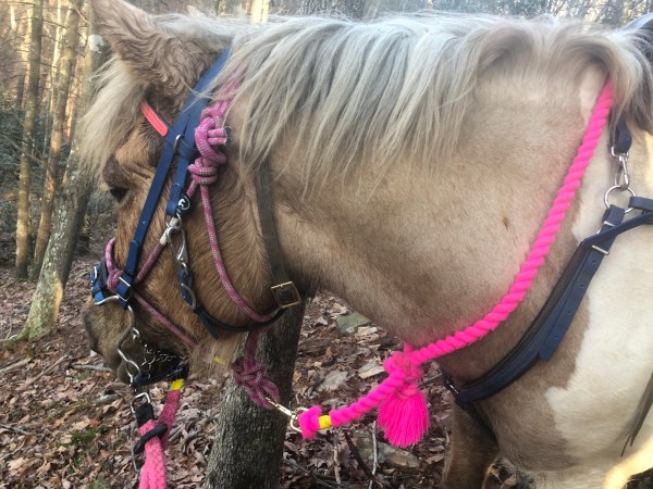
Today I spent a lot of time exploring. Simon was also not focused at all and a little bit annoying. I think I refer to him as a donkey in the video a couple times. But it was another unseasonably nice day, sunny, and I felt like exploring.

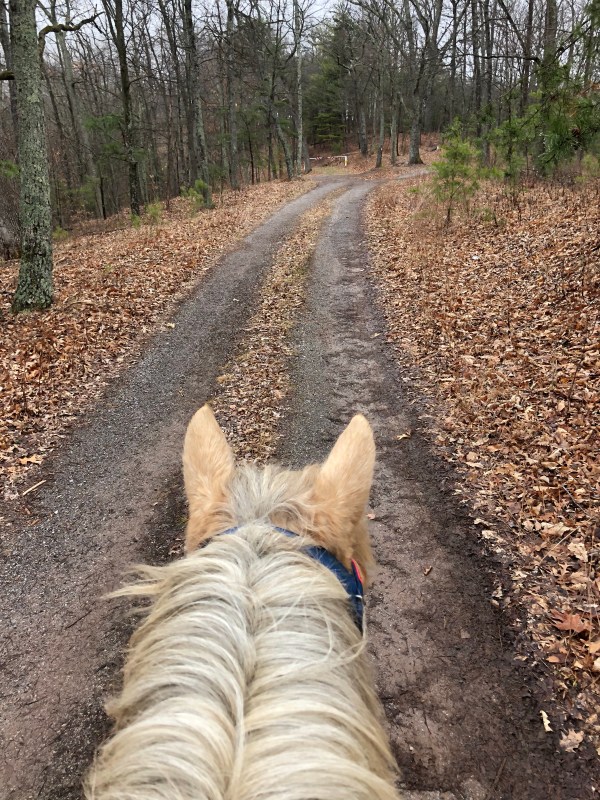
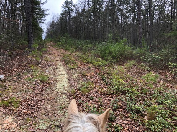
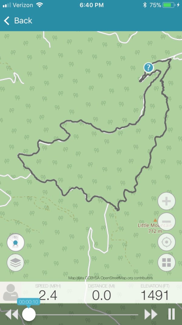
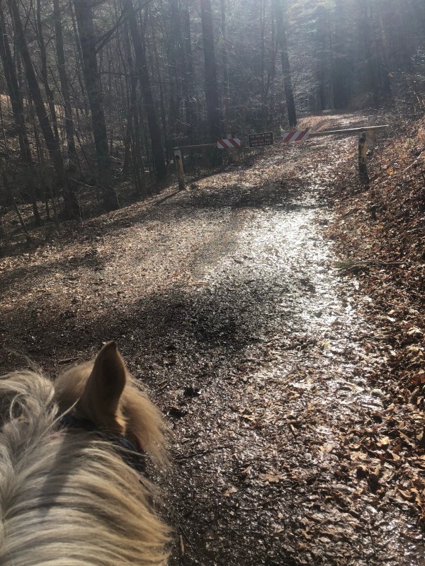
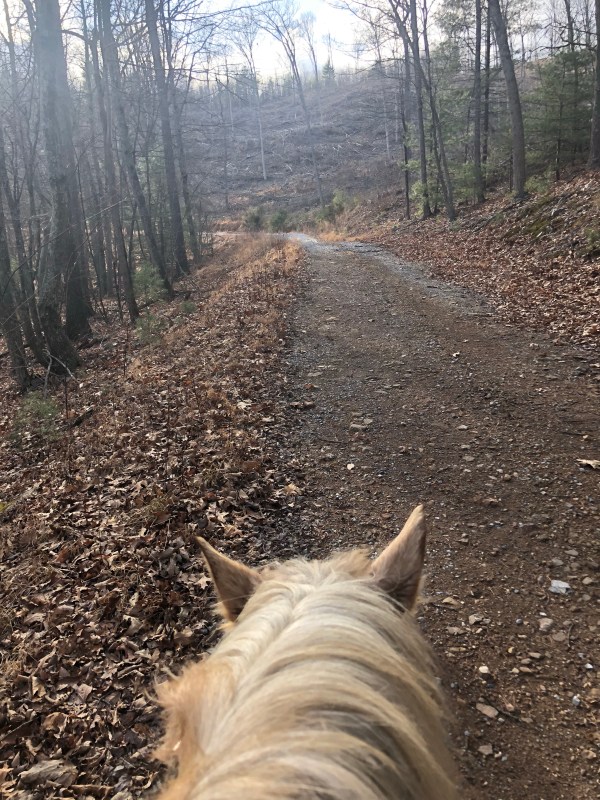
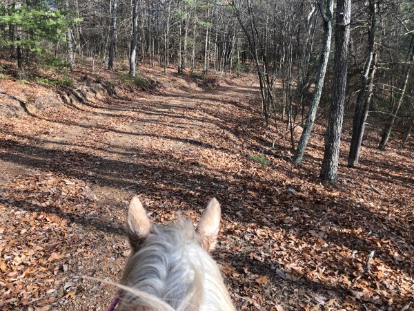
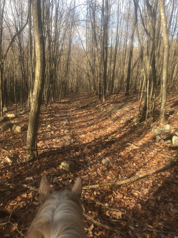
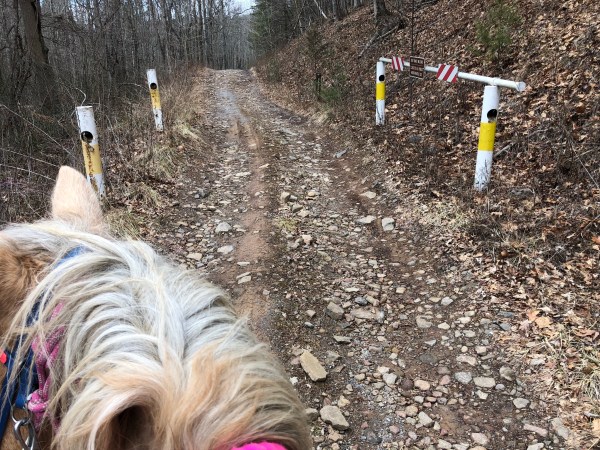
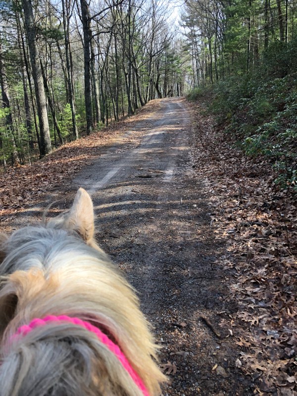
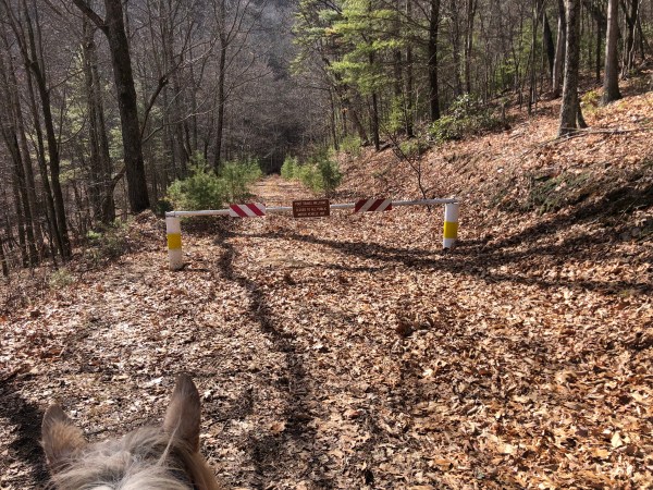
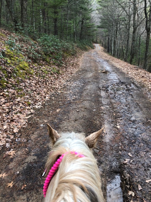
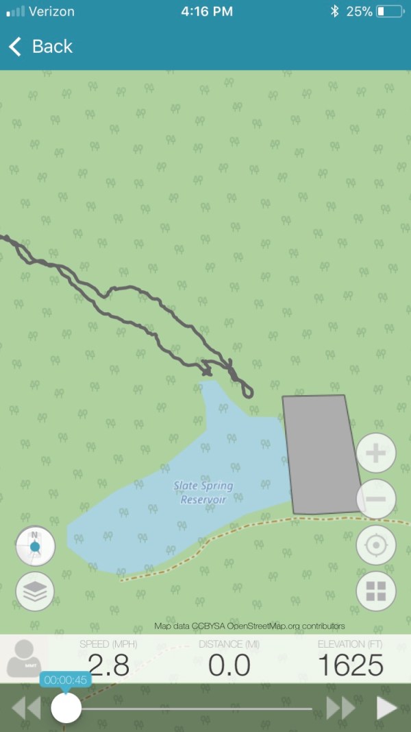
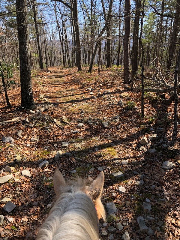
I parked at the top of Turner Run in the circle. I was happy to see all the butchered hog parts were gone! But at one of the pull overs before the circle there was tons of new trash. Shame. So I parked, hopped on, and off Simon and I went on up the fire road, 423 Gauley Ridge behind the closed gate.

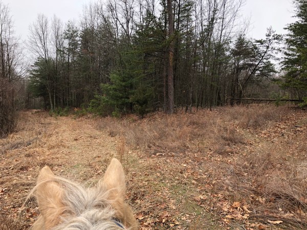
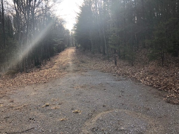
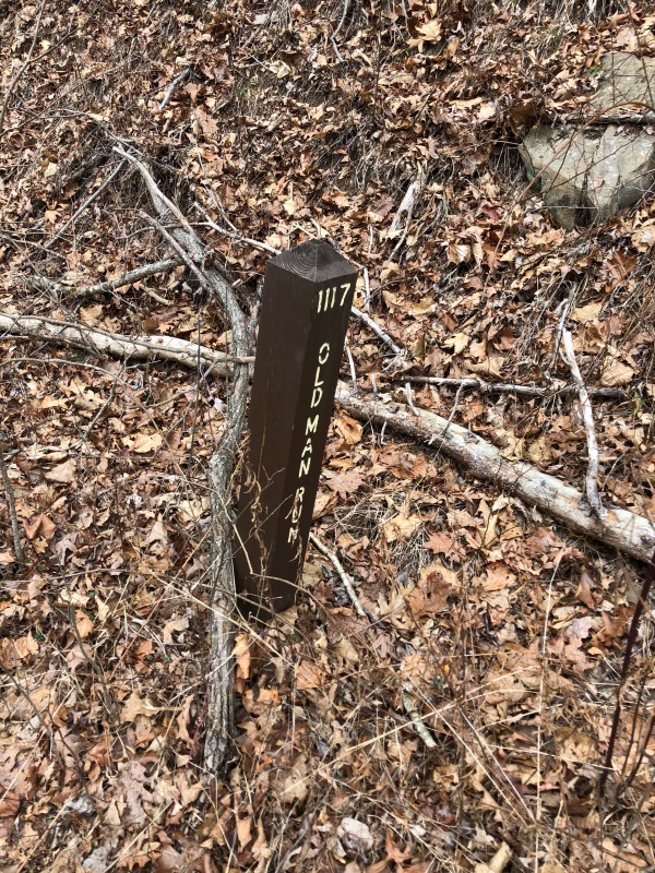
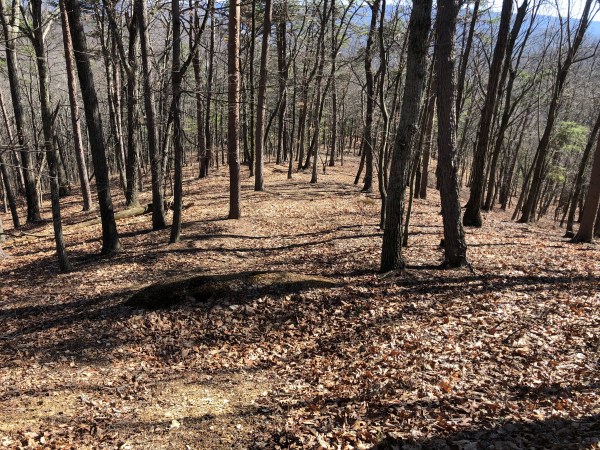
From the parking lot there is a trail just to the right of the fire road, over a berm. Carol Ann and I rode it back about a month ago and it was rather over grown in spots and had a few rough downed logs. I do note it in the video. And I. The photo below I note the other end of it. It is marked on forest service maps as well. It has a fallen FS gate, and you know I love those. But this was not a trail for today. So on we went.

I did stop at the first camping circle on the right. It’s a decent little circle with a nice Little Rock pile fire pit. Behind it is an old trail head. I thought this was a connecting old trail head I explored in the past. So I explored it again. Nope it was note. I show this in the video. It is an old trail/logging road of sorts and it’s not bad at all until a point. But that’s all it is. Short and blah.

So back to the main fire road and on we go.

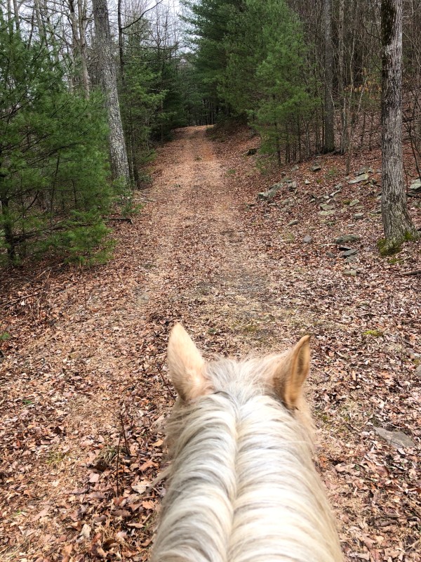
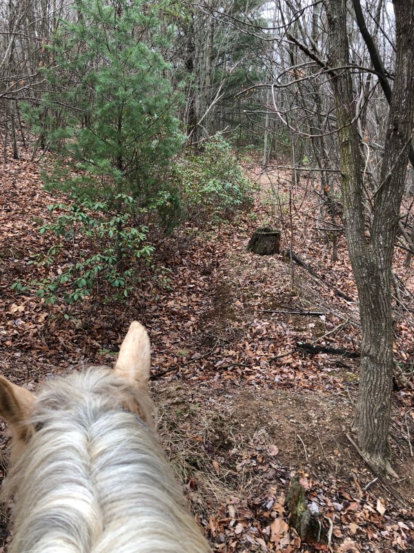
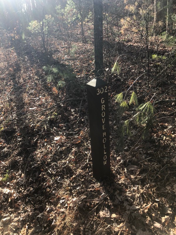
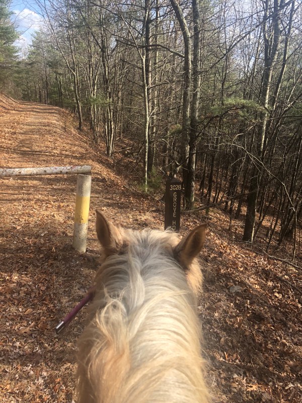
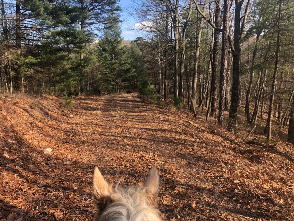
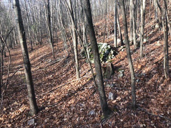
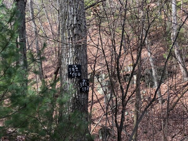
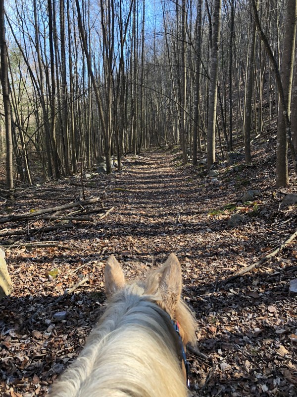
A camp area to the right. Dave’s turnpike. The marker is knocked down but still there. It has a road that wraps down a ways then dead ends. Nothing exciting. A canoe area on the right, just off the road. A side fire road with gate closed to the left. Then a camp circle to the left and the. Up a hill.

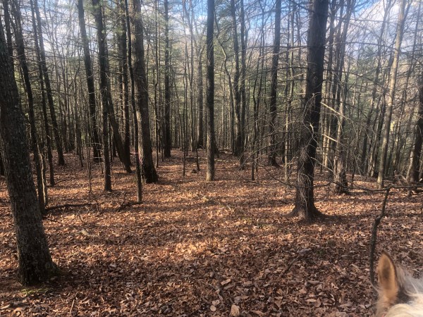
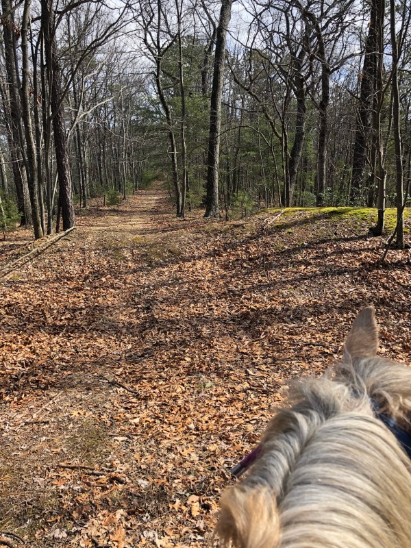
There is a small pull over to the left at the top of the hill, it sort of faces the other way. It has a trail off the back. This runs along above the fire road off shoot and then wraps down to Slate Lick.

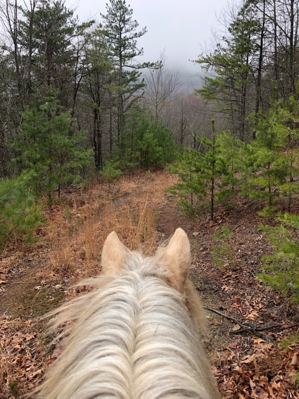
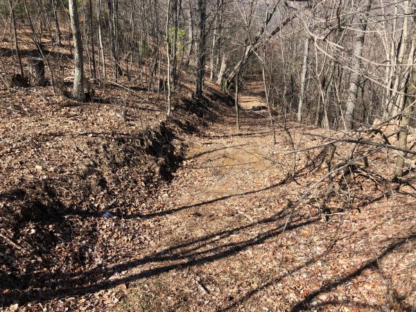
Just past this is the “fire break” trail. That’s what I am calling it. I am not sure it was actually meant to be a fire break but it appeared right around the time there was a fire back there and the fire was on the right hand side but not the left hand side of the trail which was put in using equipment. It is super easy to miss going up the road, much easier to see going back down.

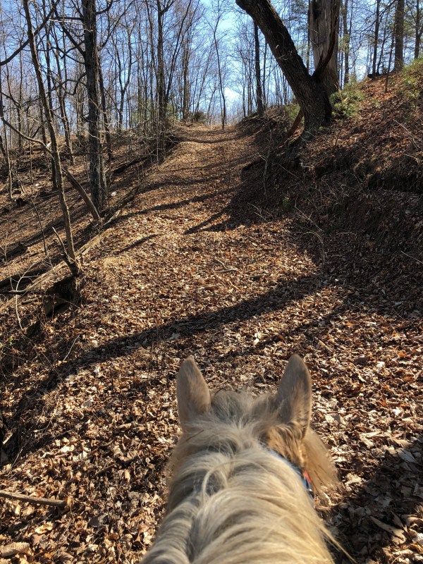
It’s rocky and becomes steep. Relatively straight, it heads down. You can see evidence of the old fire to the right, and also a decent view at one point. It was a bit steep for me to be snapping photos or taking video at that point. Simon was sure he didn’t need to keep going and also needed encouragement to pay attention.

At the bottom bare slightly right, and then down a hill to the creek bed. Here the trail goes in two directions. I get very excited in the video because you can see plenty of marking tape up in both directions. The first time I was down here the fire break did not exist yet and I followed the original trail to the right along the creek up to the fire road. That was coming up from slate lick.

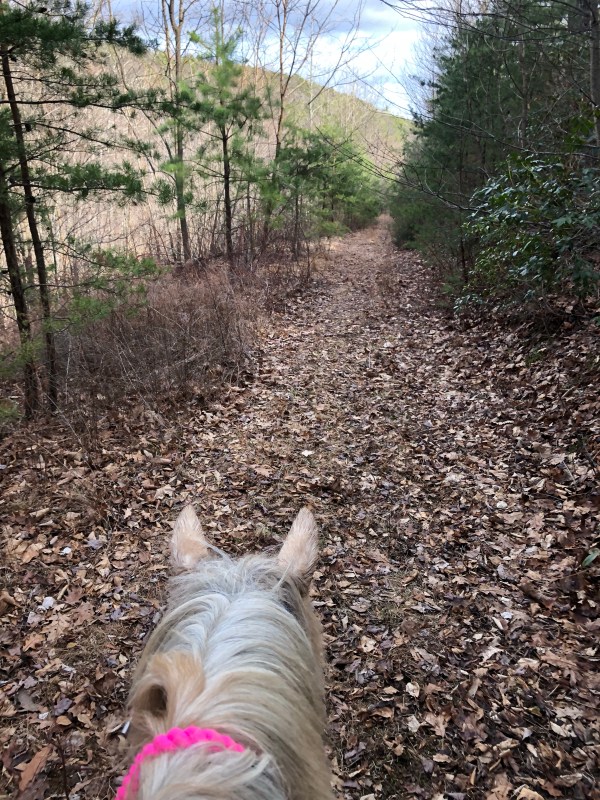
Today I wanted to get to slate lick so across the creek and to the left, onto the very clear trail, which also is marked clearly with marker tape.

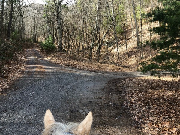
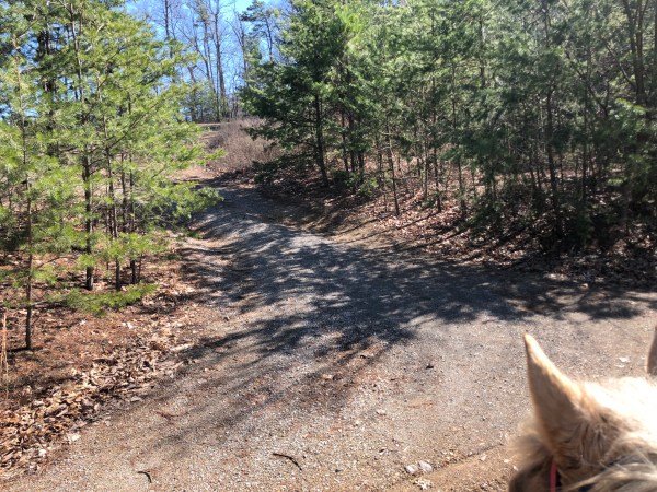
Back and forth a few times across the creek and along the side of it. At one point you have the option to stay straight (the creek is to your right here) and take an old logging road up above the creek or bare right and cross the creek and continue along that way. These basically run parallel, one on either side of the creek.

I rode the logging path years ago and it was over grown but it looked much clearer now. That said, I took the creek side trail.

Eventually the trail runs out at the back corner of slate lick lake. There is a well marked tree on the left side of the creek that marks a trail to go up the hill. It pops out to the side of the lake. Ta-da!

I would take this path back UP from the lake vs down to the lake. But since I couldn’t remember exactly where this trail came out I had to ride it down to find its end. Next time here I want to ride the other trail (which I passed on the fire road just before reaching the “fire break trail”) and will take that down and then this back up.

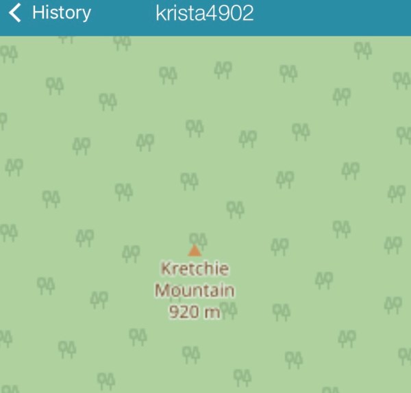
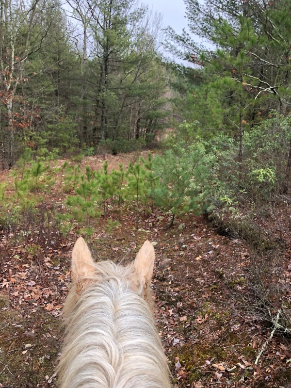
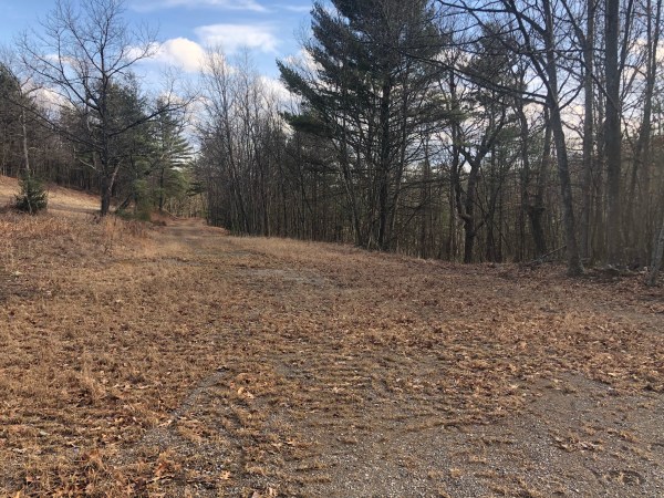
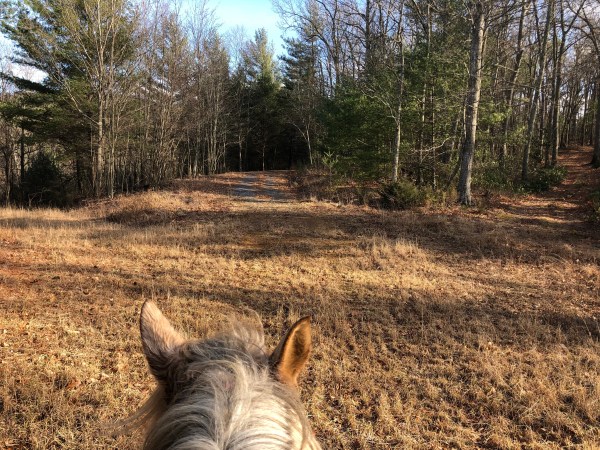
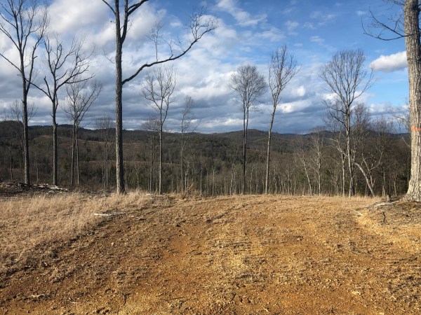
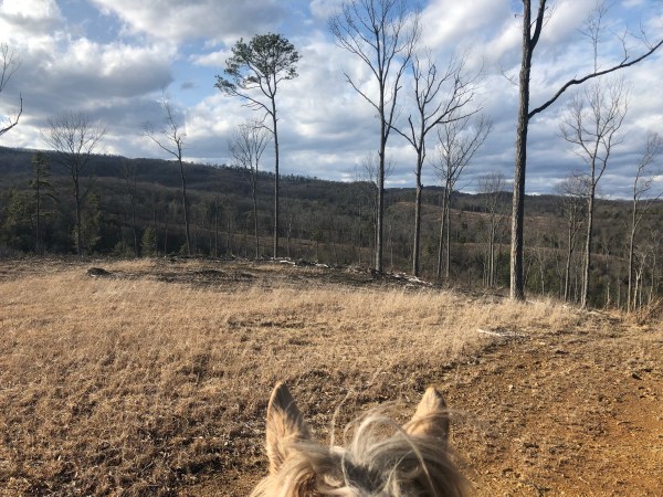
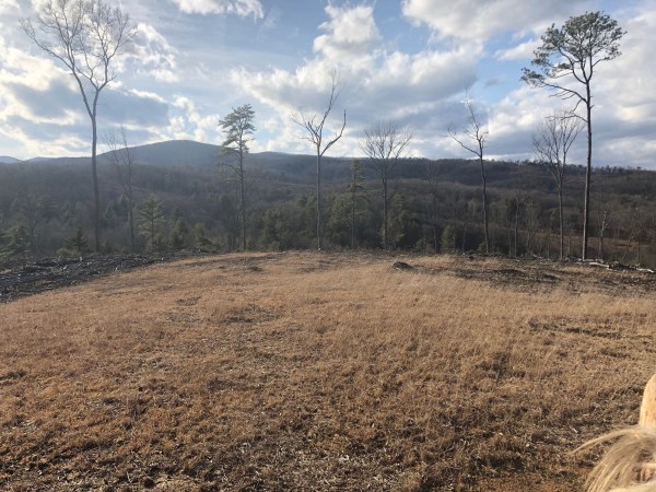
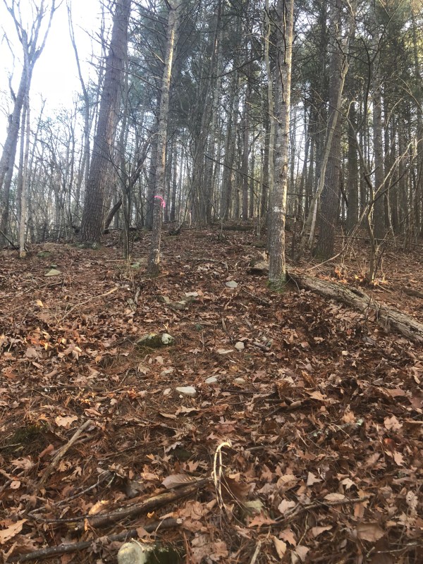
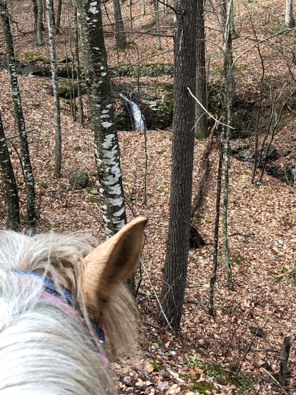
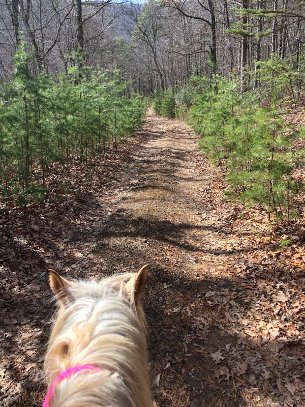
I rode up and around to take in the view. Woooooo.

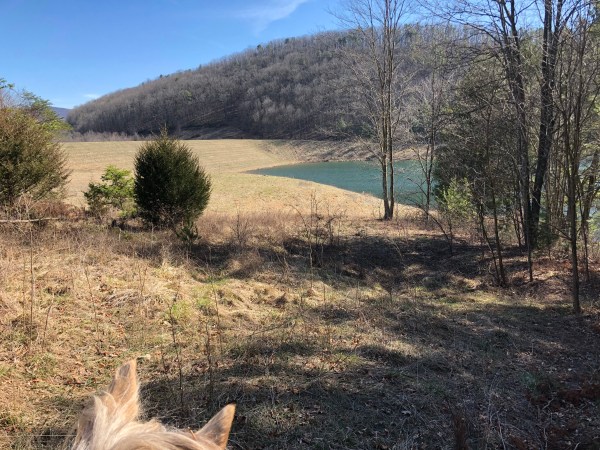
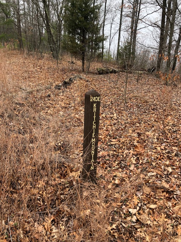
*in the photo below the trail to go back up to Gauley Ridge is just to the left right about there that first small ever green is.

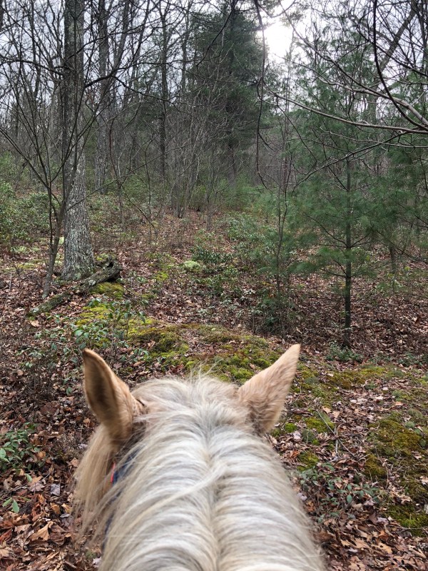
Then turned around to head back. Going back into the woods to head back to the creek there is a split in the trail (immediately entering the woods). Go left and it’s the steep down to the creek we took to get up from behind the lake. Or bare straight/right and follow the marking tape and trail through leaf litter which dumps us at a much nicer creek crossing back to the creek side trail. I assume there was a way to continue straight and onto the logging trail that I did not see.

So on we go.

I went back up the way I went down, the fire break trail. But I wish I had stayed on the creek trail. When I got back to the fire road I did go left and looked for where it comes out but did. It find it. I was getting tired and Simon was really not interested in going on so we called it and started for home.

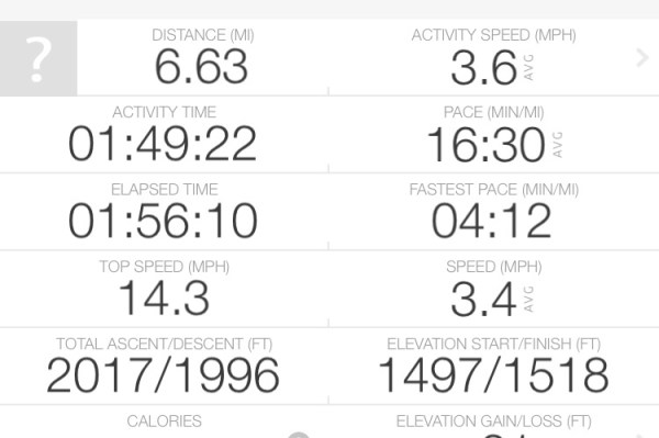
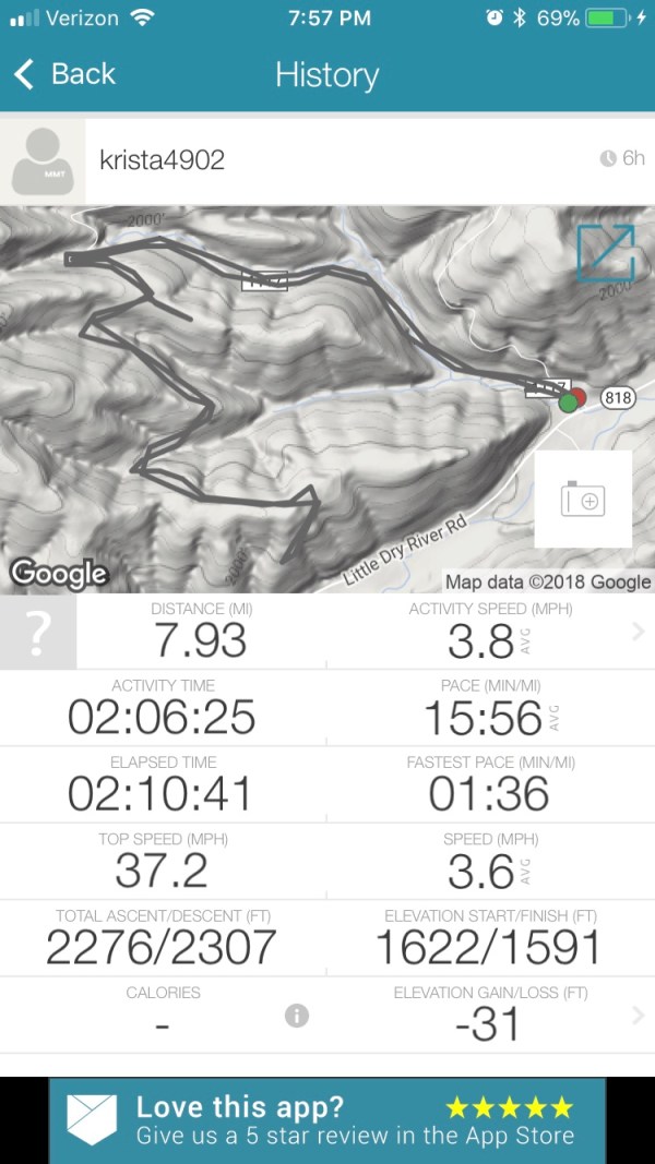
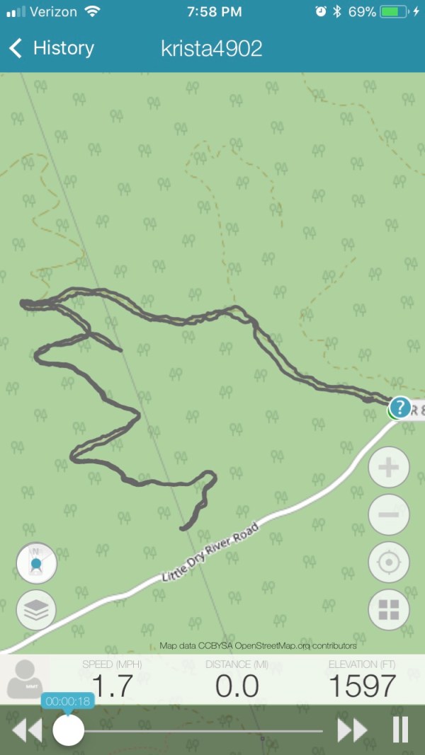
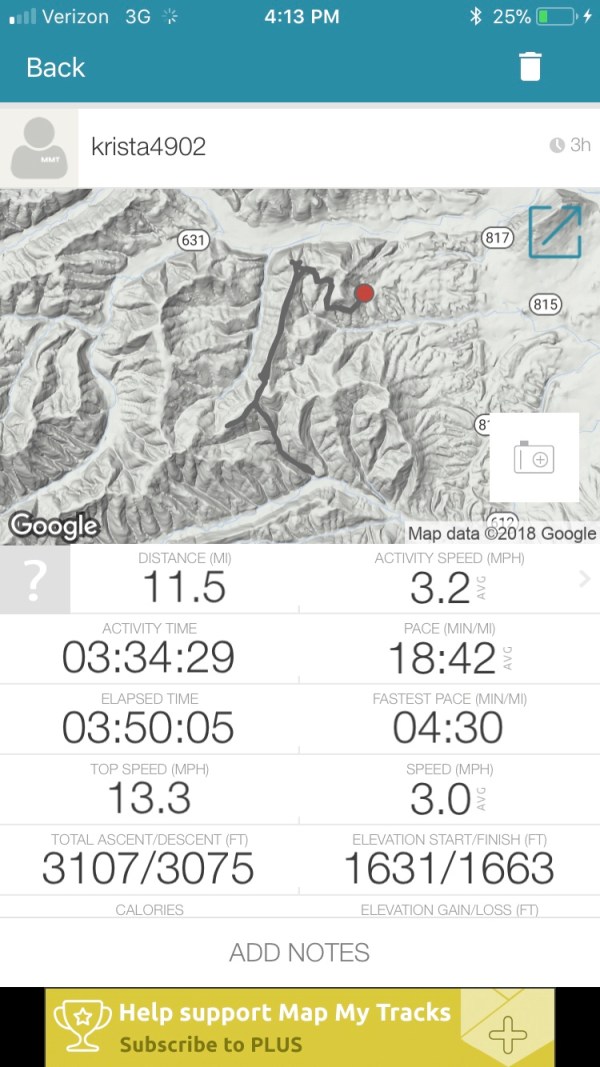
I spent lots of time zig zagging around and enjoying myself. And admittedly, we did not make good time at all today. Lots of ambling and strolling along. It was a good day.

check out the three part video blog if you like. I ramble on a lot but you can see the trail at different points. I try to focus on all the turns.

Videos

Video 1 of 3

Video 2 of 3

Video 3 of 3

Games Practice 02/25/2018

February 25, 2018

Another good practice. What can I say, they are always awesome. This practice turned out to be small, just Val, Zoe, and myself. But that made it possible for us to whip through a bunch of races.

Today we realized why I kick butt at litter in practice but flick it on occasion in competition. Val noticed it. I do not lean as well as I used to so I do a stop and pick. In practice I let Poe coast up to the litter, lean, stick the litter, lean a bit more, lift, and go. Slow and easy. In competition Poe and I both ride harder and we stop short right at the litter, putting me right on top of it. So it’s harder to get the litter out in front of me. And I get one lean, not two. Which is just unnecessary anyway.

Solution, push up to the litter in practice, and just one lean. Be serious.

In competition, pull up a half stride earlier so the litter is out in front of me and not directly below me.

It’s these little things.

Val’s pony, Babyface is really getting some wicked turns. Adding that to his natural speed and he is getting to be crazy amazing. His hi low turns today were so on. Really impressive. And Val was vaulting that tall drink of bay steed like she was still some 18 year old kid. Crazy. Crazy.

Zoe’s new pony, Dice is coming along so fast. He was at his first practice two weeks ago, and I believe it was only her second ride on him. She has clearly gotten in quite a few more rides because he is toning up already. She also managed a few practices since then and the pony is a natural. Zoe took him through balloon for the first time and the pony didn’t flick an ear or anything. Zoe found a good one I think.

Today was also Daisy’s first trip back out since her surgery. She gets to run around while we set up and again during break down and then chills in the truck while we ride. She was so pleased to get to go out again. It’s been breaking my heart to leave her home while she’s been recovering and weird driving without her.

I didn’t get many photos and only one video clip today.

One group “crazy eye” shot!

Trail Report: 240E Kretchie Mountain

February 24, 2018

Note: in some places I find the mountain Krechie and some Krichie. I or E?

Parking: I show the parking in the video part one. There is a small loop to park on but it’s small with a big pothole and a bit of an incline on one end. But would work well for backing and turning.

I back off of the main road – 240, and park on the side of the side road. A larger rig could certainly do this. I have also parked on the side of the main road just before this side road and there are more places to park and turn around just a bit further along.

Access: This trailhead is at the end of Little Dry River Road. It eventually turns to gravel, and you go a bit further, past a house on the right, and it’s the turn on the left. There is a simple metal sign that says “210” by the entrance. Just after it is a red metal gate, which I think is to a gun club or a hunting club or some such private land.

Turn left, I believe it is technically Vepco Rd (it’s labeled this on the Map My Tracks app). It’s has a nice creek ford, concrete, not too deep, and heads on up, through an open fire road gate and continue up. I include some of this on the part 1 video. The trail head I road from in this post is the first side road on the right, it’s well marked, gravel like the main road, and has the “240E Krechie Mountain” forest service brown wooden sign.

It’s been a few years since I have been to this trail head. I did not go out and check it out in advance to make sure it was still passable and gates were still open in advance like I should have. I rolled some dice and it went ok.

I am turning these written blogs into more of a video blog experience lately. So if you really intend on checking out this trail I recommend you review the videos. This ride has a three videos. I hope they are helpful.

I recommend the main bit of this ride if you want a short easy ride with some nice views and easy footing. For this area the footing was actually really nice. Thinking back I would even take my more tender footed, barefoot pony back on this ride as a light conditioning ride. (And now I am thinking). The main part of the ride is about 4.3 miles in and back out. It’s wide, clear and well marked fire road the whole way.

From parking, go through the closed gate and on back along the fire road, it splits a little ways on. There was a tree down for the right hand/straight ahead fork. I seem to remember from years ago, this meandered along a ways, got super over grown and I gave up. I have a fuzzy memory that I later noted on a map that if I had just gone a tiny bit farther it would have popped out on a fire road or something. But my memory of it is not so good.

On this ride we took the left fork, which was clear, and headed down.

the trail rolls along, some coverts over creeks, rolling up and down but nothing harsh.

after awhile there is another split. Go right, up. It’s not too terribly long, and it’s a bit rockier compared to the rest of the ride. It eventually trickles down to a foot trail, which appears to have kept going but I decided to call it. It’s a decent trail till my turn around point. This is covered in the videos pretty clearly.

I also went back to the split and took the left hand one. It was a bit thick at first and then cleared. I will note here that there were a lot of tiny thorn trees. So ones you couldn’t easily snap back branches on and might not want hitting you with bare arms.

This split was short lived and ended at a circle. There were two branches off. The one to the right at the start of the circle was super short. The one directly across the circle appeared to probably have been nice at one time but was too over grown so I called it.

That is the main part of this ride.

On my way back I decided to check out a side trail. On the way back it was on my left, going up hill, just about at a right hand curve in the fire road.

It initially went up, bubbles left and then short off to the right. It had a few branches off of it but I stuck to the most dominant trail. It started up pretty steep after a bit and I noted the trees were marked blue blaze. It was a solid trail and only slightly over grown, but still very passable. I looked at map my tracks app and it appeared the path was about to run into another trail or just had connected. But when I got home and looked I did not see this. I was a bit short on time so I cut my exploring at this time and headed back out. But I would like to go back out and see where it goes.

I also saw a lot of freshly scratched up trees and what I think might have been bear scat. I am not any type of scar professional, so I could be totally wrong, and I realize it’s winter, but with it being extremely warm, 60-80s recently I believe I have read bears might get up for a snack. Again, no professional, so I am not so sure. But it was fresh poo and scratching.

Something else of note – there were fresh tree tubes in one area. Tons of them. I assume they have trees in them. I came galloping around a corner and it was just covered in them. Sort of spooky.

So back to the parking area. You can see in the photo above, there is a trail just to the right and above the fire road. I remember it from before but not much more than it was there. I rode up it just a tiny bit to see if it was still there and it is. I’ll have to check it out in the future. Again.

Check out the three videos for a v-log of the ride.

Video part 1 of 3

Video part 2 of 3

Video part 3 of 3

Trail Report: Blue hole – Grove Hollow 02/15/18

February 15, 2018

Trail: 302 Grove Hollow at Blue Hole in Bergton, Virginia. Drive all the way back, over four cattle guards.

Parking: Not a very big area. Small turn around. Space for two or possibly three small rigs. There is a second spot to park just past the main spot but it is often flooded or extremely muddy.

Todays Ride: I got a very late start and didn’t reach the trail head until nearly 3pm so I decided to do the quick loop with the big down hill finish. It has amazing views, lots of room to move out and the big down hill adds another level to the work out. It does slow down the over all pace quite a bit but it’s a fun challenge. Certainly not for every ride.

The ride starts out through the closed fire road gate, and on we go. Past lots of logged areas, up and up, on a slow incline for about the first two miles or so. This makes this area a bit of an annoyance for me to do a ride in and back out since the last two miles is a down hill ride. I dislike that level of down hill on Simon. He is so slow and not as surefooted as I would like and let’s his laziness peak. It takes some constant work to keep him moving at a decent pace. Which is not how I like to spend the last two miles of any ride.

After a bit there is a road that beaches to the left, 302b Grove Hollow – with a closed fire gate, or proceed ahead onto 302 Rocky Spur.

I really had no idea what I was going to do at this point. But I was working with limited daylight. I debated for a bit too long then opted to head left on 302b grove hollow.

It’s a nice hack along until you come to a an opening with three split offs in front of you. Choosing left makes for this loop. None of these have road markers or any designations displayed.

So off to the left, which is a quick down, around and up and then this trail shows its beauty. Since they logged this area a few years ago, there are absolutely amazing views. And this section of the trail is all amazing. The trail rolls up, down and around, and it’s perfect for a nice rolling canter, popping up on each new crest with a “king of the world” feel!

As expected photo and video just does not show these views.

Alas the views end and the main trail runs out and becomes a much narrower trail. And on we go.

Here is where the real challenge comes. The downhill. The trail sort of narrows down and becomes less clear. There are pink marker tags here to assist with the hill, I recommend following them. It starts off not bad, going straight ahead and then curving to the left and beginning to slope down. It’s gradual but quickly gets steep. I have gone all the way down mounted, but I usually dismount once it gets super steep. Although I have mentioned previously I really am uncomfortable going steeply downhill on Simon so I am not sure how much of that plays into it, but I assure you, it is steep. The trail is visible, although the markers make it easier to follow, especially once on the ground.

Today I was climbing down on foot with Simon and I slipped and rolled a little ways. I popped up from the roll and I swear Simon was was laughing at me *oh come on human, really?* It was comical. Once to the bottom, it’s an easy slip to the right into a more dominant trail, and just a few yards ahead across a creek and turn right. This trail has some downed trees, but nothing impassable. It dumps you out at a rocky creek type of bed, bare a bit right and across a creek, there is a clear crossing (this area is a bit messy since it floods on occasion and not so clear. After the rocky bed area bare right to the running creek, closer to the fence). After crossing the creek there is a path, sort of tough to see, it is parallel to the creek, forcing you to make a hard left to enter it. It takes up along the creek, then bares up and dumps you into the road, just a short shot left to the parking.

Video clips of the ride.

oh did I mention it was in the 70s!!!

Trail Report: 1117 Old Man Run 2/14/18

January 14, 2018

Track: left hand track -8 miles total in and out.

Parking – turn around is tight. I comment in the end of the video clip about it. I pull in then back into the first turn on the right (1117b Elizabeth ridge) to turn around. There is parking on the right as you go to pull back out. Room for two smaller rigs, maybe three small rigs squeezed in.

Today’s ride: It’s been a while since I have been back here and I forgot how much I like this trail. It’s a nice 8 mile out and back, fire road to trail, nice views, various footing, some hills but no rough climbs or tough footing. Note, the sign at the road is gone.

I headed up 1117 Old Man Run, through the open gate, along the creek, and heading straight/left at the main split.

It is such a pretty ride. At the first “top” of the road it sort of opens into a camp area and there is a trail to the left that goes off to the power lines for a pretty view.

Then continue on ahead on the road to the closed fire gate and around it. To this point there were some rather fresh tire tracks and a few boot prints.

I absolutely love this trail after the closed gate. It stays clear and passable, rolling, it’s easy to keep moving at a decent pace, lots of room to trot and canter. There are also plenty of nice views.

I tried something out during the ride. I started taking these little video clips along the ride. At first I was trying to give you an idea of the views but then I though I could show some of the trail. It’s such a nice trail and varys as you go. So let’s see how this works out.

Well, to my dismay, after lots of effort, I am not able to put the little clips throughout the blog successfully. So I compiled them into one video and loaded it into YouTube and included it above this paragraph.

The trail ends under the power lines, it’s the second time you actually go under them.